3D print Nahuel Huapi National Park
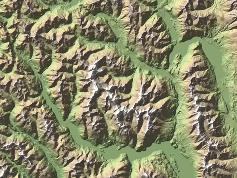
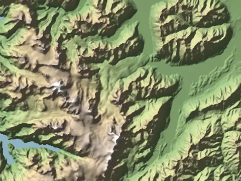
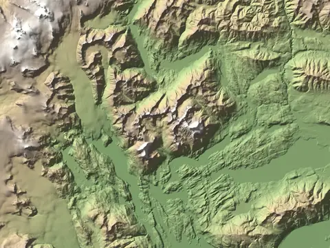
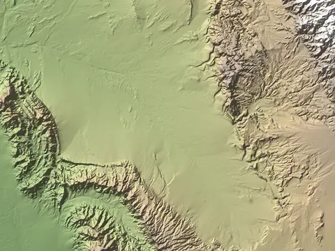
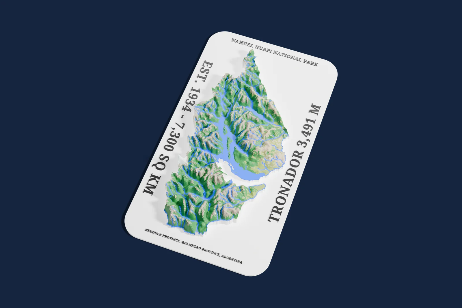
Nahuel Huapi National Park on one print: a 80 by 162 km relief cut to the park's own border, on a plate that carries its name and facts, with lakes, rivers and land cover in their own colors.
- Regions
- Neuquén Province, Río Negro Province
- Established
- 1934
- Area
- About 7,300 km²(2,800 sq mi)
- Highest point
- Tronador, 3,491 m(11,453 ft)
- IUCN category
- II, National Park
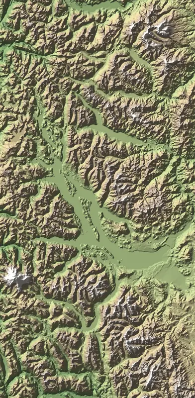
Seen from above
80 by 162 km, on a 160 mm print
- Taller than life
- The print opens with the Elevation multiplier at 6x so the terrain reads at this size. Set it to 1 for true scale.
- The footprint
- The print follows the park's mapped border from OpenStreetMap (its main part), standing on a plate with the park's name and facts along the edges. In the generator you can resize it, change the plate text, or switch to a plain rectangle.
- A big area
- A park this large takes a few minutes to build in the browser, and small features soften at this scale. Zoom into one valley for more detail.
Common questions
Is the Nahuel Huapi National Park 3D print free?
Yes. The generator runs in your browser and exports a 3MF file you can open in any common slicer. There is no account or payment.
Does the print cover the whole park?
Yes. It opens as the park's own border from OpenStreetMap, 80 by 162 km across, standing on a plate with its name and facts. Switch to a rectangle in the generator to include the land around it.
Is the park printed at its true height?
It starts at 6 times its true height, about 13 mm of relief on a 160 mm print, because true scale looks flat at this size. Set the Elevation multiplier to 1 for true scale.
Can I get an STL instead of a 3MF?
The generator exports 3MF, which keeps each color as its own part. Any slicer can open it and save an STL if you need one.
Sources: Wikidata: Nahuel Huapi National Park, OpenStreetMap: Nahuel Huapi National Park outline, Wikipedia: Nahuel Huapi National Park, Official website, Mapterhorn elevation data
Nearby