Mini SkylineFree 3D printing tool suite for producing 3D maps of cities, skylines, terrain, racetracks, and other planets!
Earth
3D print any city, skyline or landscape
- 5000+ landmark 3D models
- LiDAR building heights & roofs
- Satellite tree placement
- Terrain with contour lines
- GPX routes & trails
- Frames, lettering & puzzles
- 3D editor to sculpt your model
- Multi-colour 3MF for AMS & MMU
Beyond Earth
3D print the Moon, Mars and your Minecraft worlds
- Moon terrain & Apollo landing sites
- Mars: Olympus Mons & rover craters
- Mercury, Venus, Ceres & Vesta
- NASA & USGS elevation data
- Famous craters & landmarks
- Minecraft world to 3MF (beta)
See it in a minute
Draw a box on the map, press Generate, and print it. The trailer shows the whole trip from map to build plate.
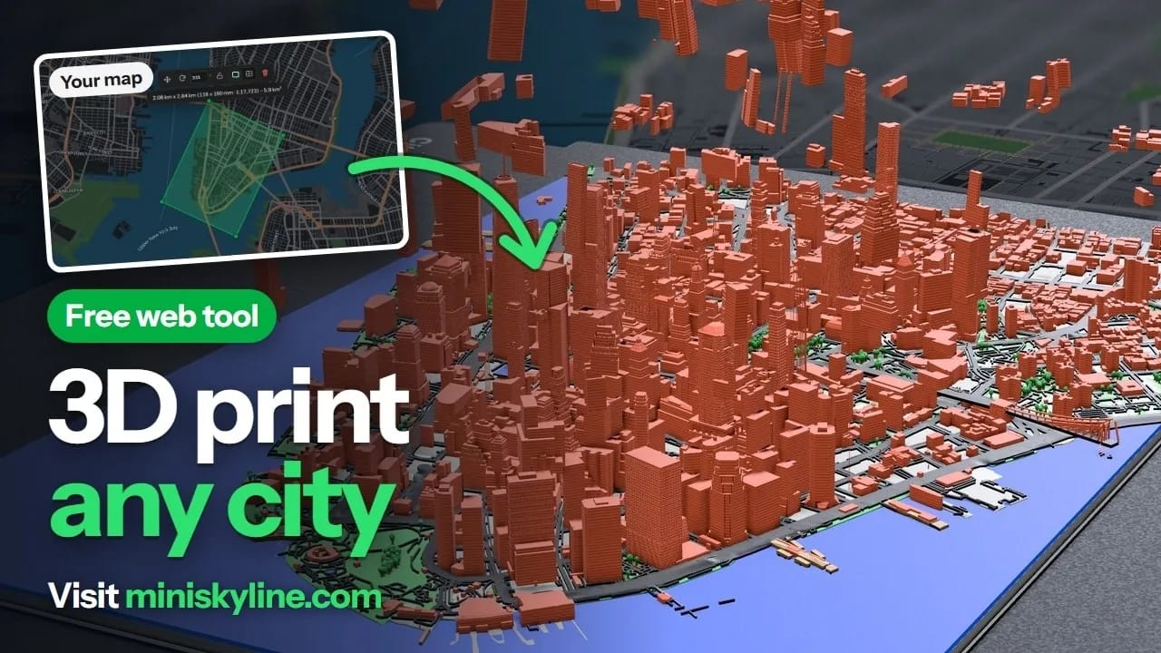
Plays from YouTube when you press play.
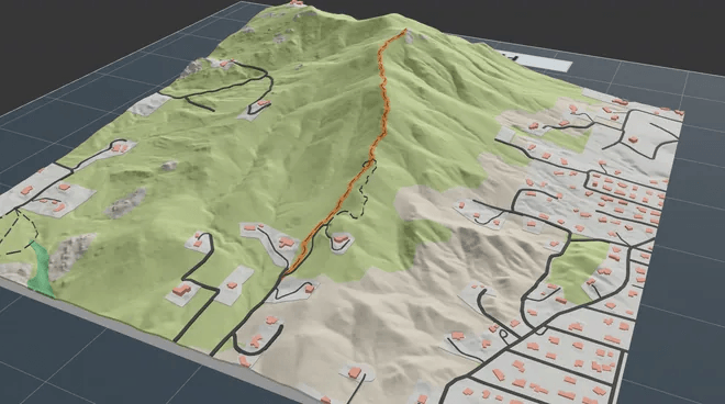
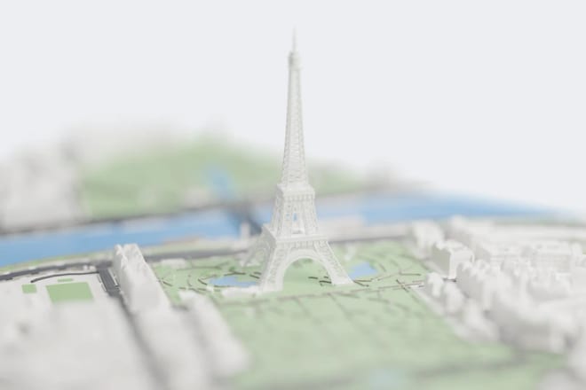
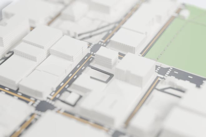
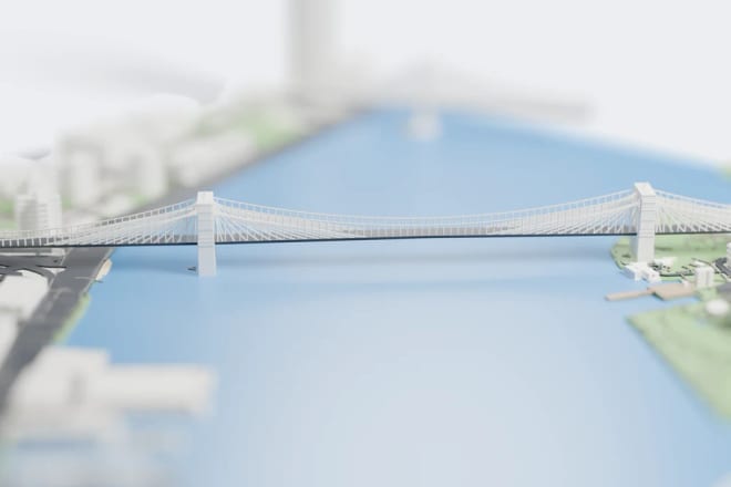
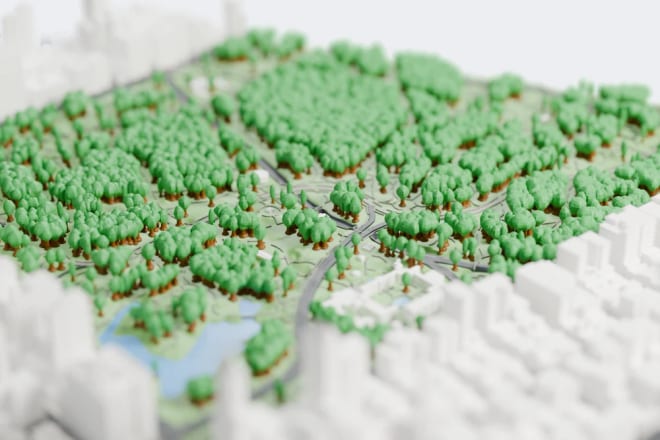
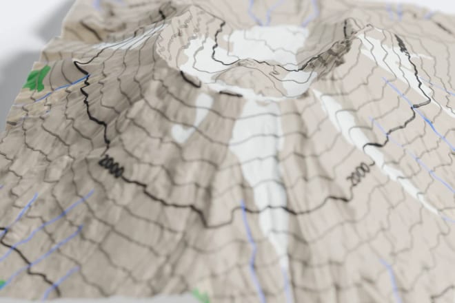
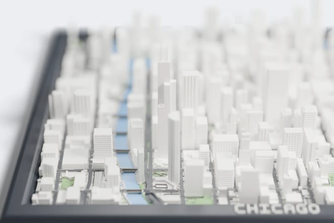
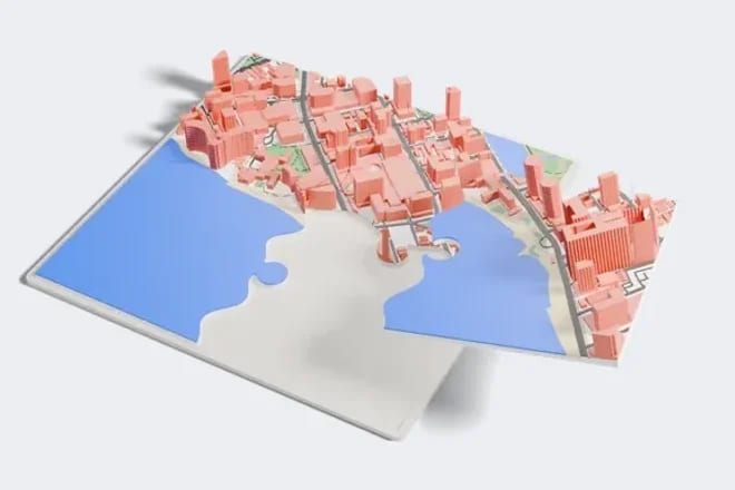
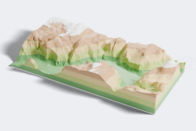
3D printed maps made with real data
Blender renders of real 3MF files exported from Mini Skyline. No AI images.
Looking for a Map2Model alternative?
Map2Model has shut down. Mini Skyline is a free map to model tool: pick a place on the map and download a 3D model with buildings, roads, water and terrain as a multi-colour 3MF for your slicer. No account needed. Switching from Map2Model
Open your Map2Model projectMany data sources, so the model looks like the real place
Open map data gets you most of the way. Our own data packs fill in the rest, so your 3D printed map looks like the real place. For each model, the export dialog tells you whether its map data allows commercial use and which credits to include; the attributions page lists the sources.
LiDAR building heights
LiDAR heights in UK, US and Swiss cities, official records across Europe, and storey counts in Spain and Denmark. Sensible guesses everywhere else.
Roof shapes from map data, with laser-scanned roofs in some cities
Mapped roofs print as drawn and LiDAR roofs are in beta. Every other building gets a gabled, hipped or flat roof and a colour that suit its region.
5000+ landmark 3D models
Famous buildings, towers, stadiums and bridges, sized and turned to match the real ones as closely as we can, each one its own part in the slicer.
Real street widths
A road width atlas sizes each street for where it is and how built-up the area is, with sidewalks, lane markings and crosswalks.
Trees where canopy maps show them
Trees go where satellite canopy maps show them, in shapes that fit what grows there: 24 named species, plus palms.
Sea floor and lake beds
Drain the water to print the sea floor underneath, shaded by depth from measured bathymetry.
A free 3D map maker, every feature included
- No sign-up or email needed
- No watermark
- No export cap
- Runs in your browser
- Slicer-ready 3MF
- Sell what you print*
Release log since 20 Jun 2026
-
V1.510.1
HOTFIX
-
V1.510
MAJOR PATCH
-
V1.500.1
HOTFIX
* Commercial use is determined by the underlying map data your run pulled in, not by Mini Skyline. Most areas come out commercially viable, but please verify the attribution file bundled inside your export. Selling a print
Minecraft importer: not an official Minecraft product. Not approved by or associated with Mojang or Microsoft.