ATL
3D print Hartsfield–Jackson Atlanta International Airport
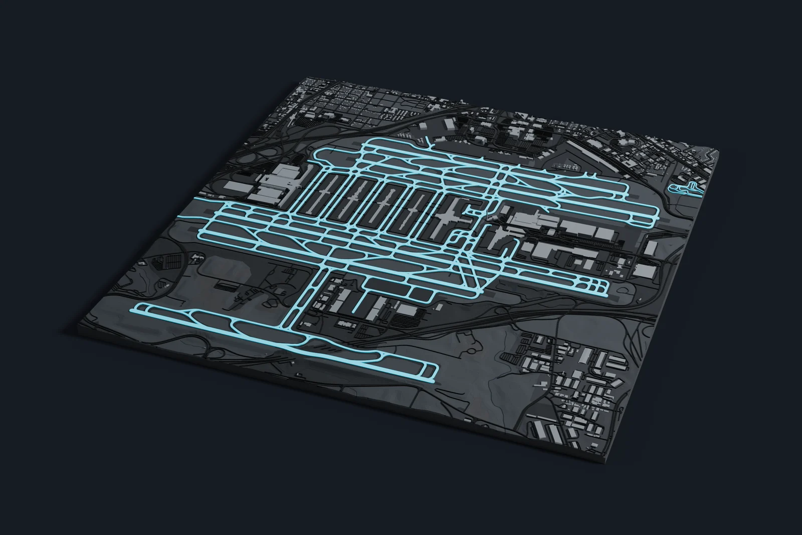
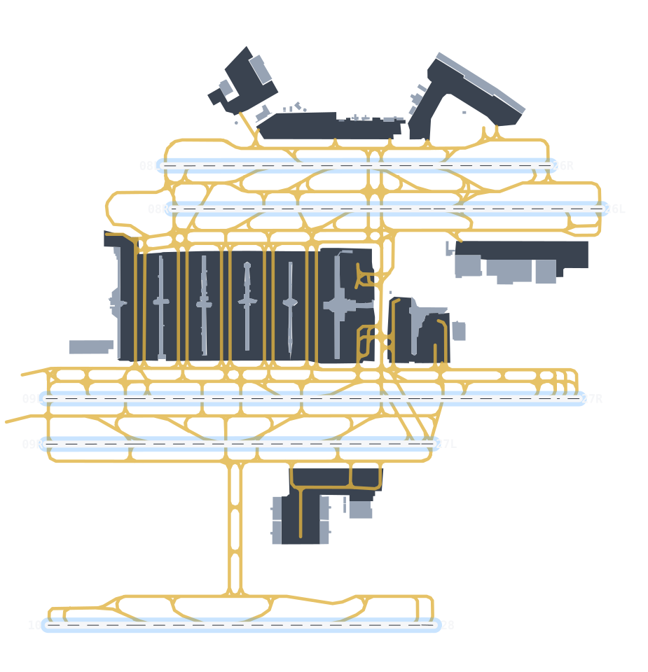
Hartsfield–Jackson Atlanta International Airport on one print: a 4.6 by 4.8 km map of its 5 runways, taxiways and terminals, with the buildings, roads and terrain around them.
- Location
- Clayton and Fulton counties, Georgia, United States
- Codes
- IATA ATL · ICAO KATL
- Opened
- 1926
- Runways
- 5
- Longest runway
- 12,390 ft (3,776 m)
- Passengers (2025)
- 106.3 million
- Elevation
- 1,026 ft (313 m)
On the print
4.6 by 4.8 km, on a 160 mm print
- Runways as their own part
- Runways and taxiways are their own part in the 3MF, so you can give them a filament of their own to set them apart from the roads around the airport. Aprons print as concrete. Or print the whole map in one filament.
- The footprint
- The print opens in City mode on a 4.6 by 4.8 km rectangle around the mapped runways and aprons, with a margin on every side. Move or resize it in the generator to take in more of the area.
Common questions
Is the Hartsfield–Jackson Atlanta International Airport 3D print free?
Yes. The generator runs in your browser and exports a 3MF file you can open in any common slicer. There is no account or payment.
Does the print show the whole airport?
Yes. It opens on a 4.6 by 4.8 km rectangle around the runways and aprons as OpenStreetMap maps them, with some of the land around them.
Are the terminals included?
Yes. Terminals, hangars and every other mapped building print with the rest of the map, at their mapped heights where those are known. Where Mini Skyline has a detailed model of a terminal, it prints in place of the plain outline.
Can I get an STL instead of a 3MF?
The generator exports 3MF, which keeps each color as its own part. Any slicer can open it and save an STL if you need one.
Sources: Wikipedia: Hartsfield–Jackson Atlanta International Airport, Wikidata: Hartsfield–Jackson Atlanta International Airport, OpenStreetMap: Hartsfield–Jackson Atlanta International Airport, Official website
Nearby
More airports near Hartsfield–Jackson Atlanta International Airport
-
 BNA
Nashville International Airport
Southeast Nashville, Tennessee, USA
-
 CLT
Charlotte Douglas International Airport
Charlotte, North Carolina, USA
-
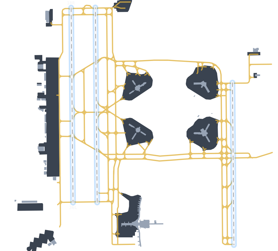 MCO
Orlando International Airport
Orlando, Florida, USA
-
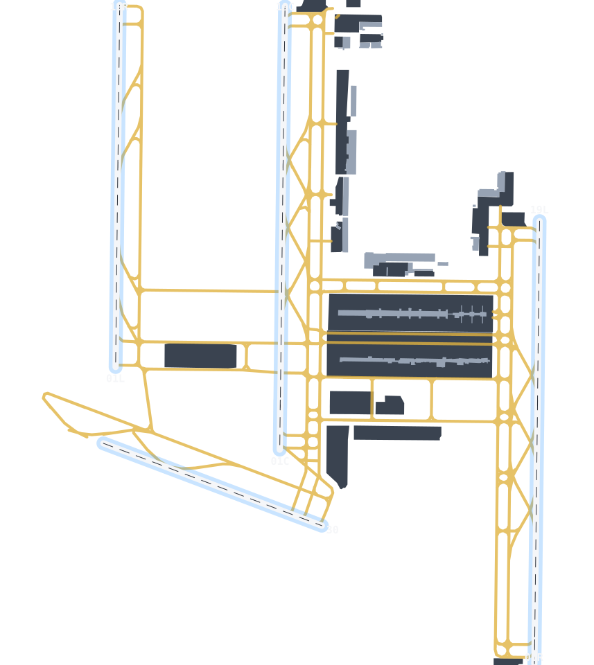 IAD
Dulles International Airport
Dulles, Virginia, USA
-
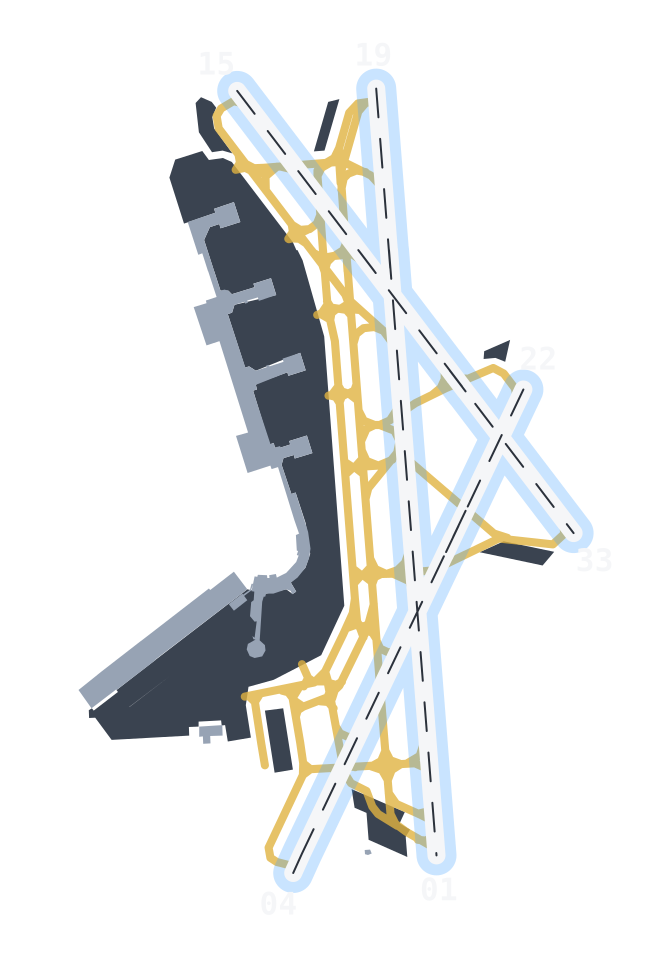 DCA
Ronald Reagan Washington National Airport
Arlington County, Virginia, USA
-
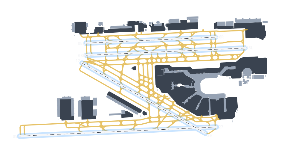 MIA
Miami International Airport
Miami-Dade County, Florida, USA