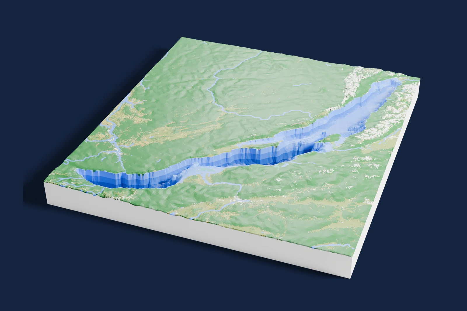
Lakes, drained
Lake depth maps you can 3D print
Famous lakes with the water taken away, their beds printed from real depth surveys and shaded darker where they are deeper. Pick one and print it at home.
- 9 lakes
- 1,642 m at the deepest
measured beds, none guessed
Rendered with Blender. The model was exported from Mini Skyline. This is not an AI image.
All lakes · 9
Pick a lake
-
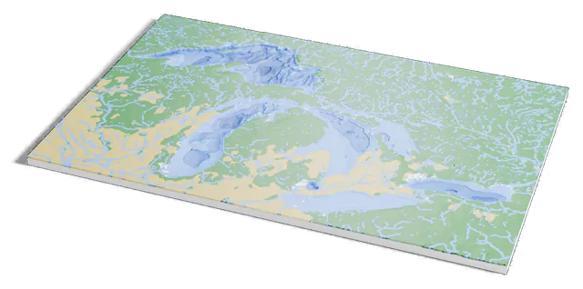 North America
Great Lakes
Ontario and eight U.S. states
-
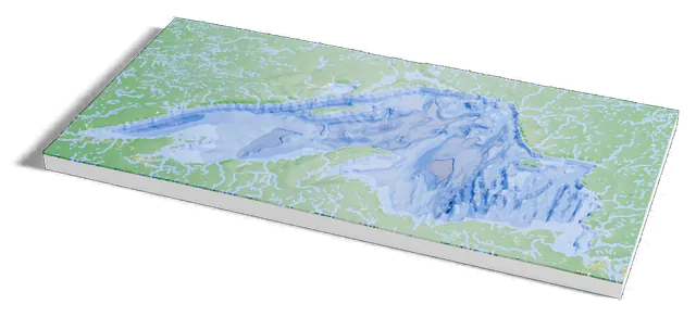 North America
Lake Superior
Ontario, Minnesota, Wisconsin and Michigan
-
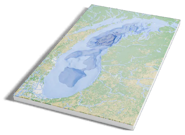 North America
Lake Michigan
Wisconsin, Illinois, Indiana and Michigan
-
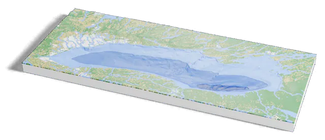 North America
Lake Ontario
Ontario and New York
-
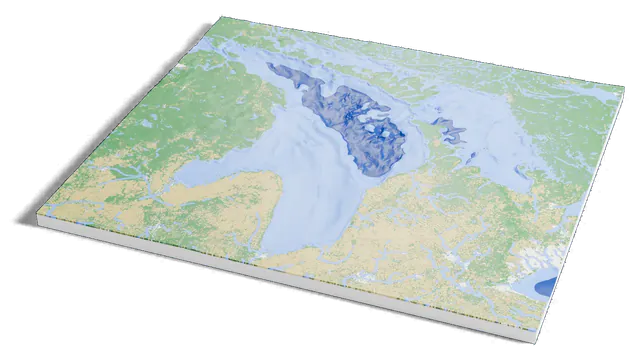 North America
Lake Huron
Ontario and Michigan
-
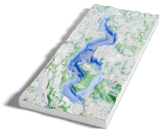 North America
Lake Washington
Seattle, Washington
-
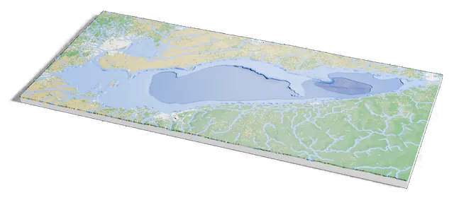 North America
Lake Erie
Ontario, Michigan, Ohio, Pennsylvania and New York
-
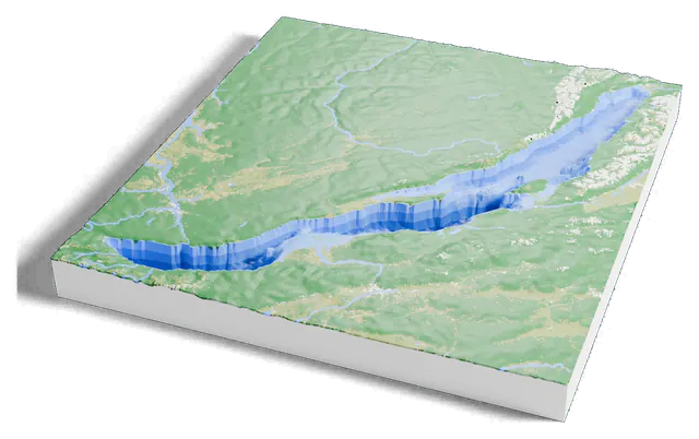 Asia
Lake Baikal
Siberia
-
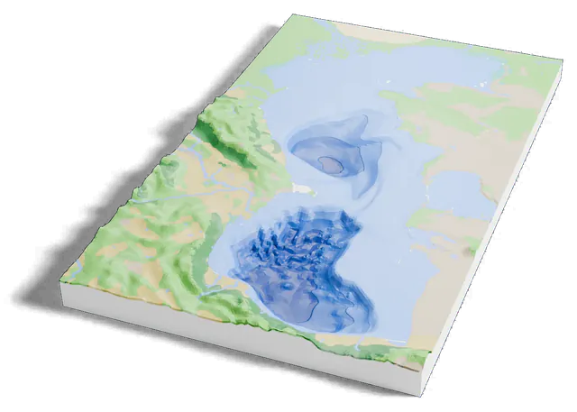 Asia
Caspian Sea
Between Europe and Asia
Side by side
Every lake, by its deepest point
Your lake isn’t here?
Any lake works. Open the map, draw around it, turn on Terrain, and set Water depth to Sea floor. Where no survey covers it, the bed is estimated from the land around it.