3D print Portstewart Golf Club
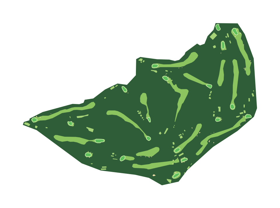
Portstewart Golf Club on one print: a 1.5 by 1.1 km map of the course, every fairway, green, bunker and pond as OpenStreetMap maps them, on the terrain they sit on.
- Location
- Portstewart, County Londonderry, Northern Ireland
- Established
- 1894
- Holes
- 54
- Par
- 72
- Length
- 7,118 yards (6,509 m)
- Designed by
- Des Giffin
Hole by hole
Print one hole
Every hole OpenStreetMap maps here, drawn with the tee at the bottom and the green at the top. Each one prints on its own, the hole running up the print.
- Hole 1 Tubber Patrick Print hole 1
- Hole 2 Devil's Hill Print hole 2
- Hole 3 The Settlement Print hole 3
- Hole 4 Thirsty Hollow Print hole 4
- Hole 5 Rifle Range Print hole 5
- Hole 6 Five Penny Piece Print hole 6
- Hole 7 Strawberry Hill Print hole 7
- Hole 8 Portnahapple Print hole 8
- Hole 9 Larkhill Print hole 9
- Hole 10 FIsherman's Walk Print hole 10
- Hole 11 Fernside Print hole 11
- Hole 12 Barmouth Print hole 12
- Hole 13 Cashlandoo Print hole 13
- Hole 14 The Hill Print hole 14
- Hole 15 Articlave Print hole 15
- Hole 16 The Plateau Print hole 16
- Hole 17 Agherton Print hole 17
- Hole 18 Strand Head Print hole 18
Lengths are measured along the mapped line from the back tee to the green, so they can differ a little from the scorecard.
On the print
1.5 by 1.1 km, on a 160 mm print
- Fairways, greens and bunkers
- OpenStreetMap maps 23 fairways, 20 greens, 63 tees and 60 bunkers here. Fairways and tees print in a lighter green than the rough around them and greens in their own color, each a part of its own in the 3MF, so you can give the holes a filament of their own. Bunkers print as sand when Scenery details are on, and water as water.
- The footprint
- The print opens in City mode on a 1.5 by 1.1 km rectangle around the course, with a margin on every side. Move or resize it in the generator to take in more of the area.
Common questions
Is the Portstewart Golf Club 3D print free?
Yes. The generator runs in your browser and exports a 3MF file you can open in any common slicer. There is no account or payment.
Can I see the individual holes?
Yes. Each fairway, tee and green is its own shape, so the holes read as lighter strips through the rough with a green at the end. At the default 160 mm print a fairway is a few millimetres wide; a larger print shows more of the shaping.
Can I print just one hole?
Yes. Each mapped hole below has its own print button. It opens the generator on a rectangle turned to run from the tee to the green, so the hole fills the print, and it can stand a golf flag in the hole. The flag is sized for printing rather than to scale, with a 2 mm pole and a flag that needs no supports.
Are the hills and slopes included?
Yes. The course sits on the real terrain. Most courses are gentle, so in the generator you can raise the Elevation multiplier to make the slopes easier to see.
Can I get an STL instead of a 3MF?
The generator exports 3MF, which keeps each color as its own part. Any slicer can open it and save an STL if you need one.
Sources: Wikipedia: Portstewart Golf Club, Wikidata: Portstewart Golf Club, OpenStreetMap: The Strand - Portstewart Golf Club
Nearby
More courses near Portstewart Golf Club
-
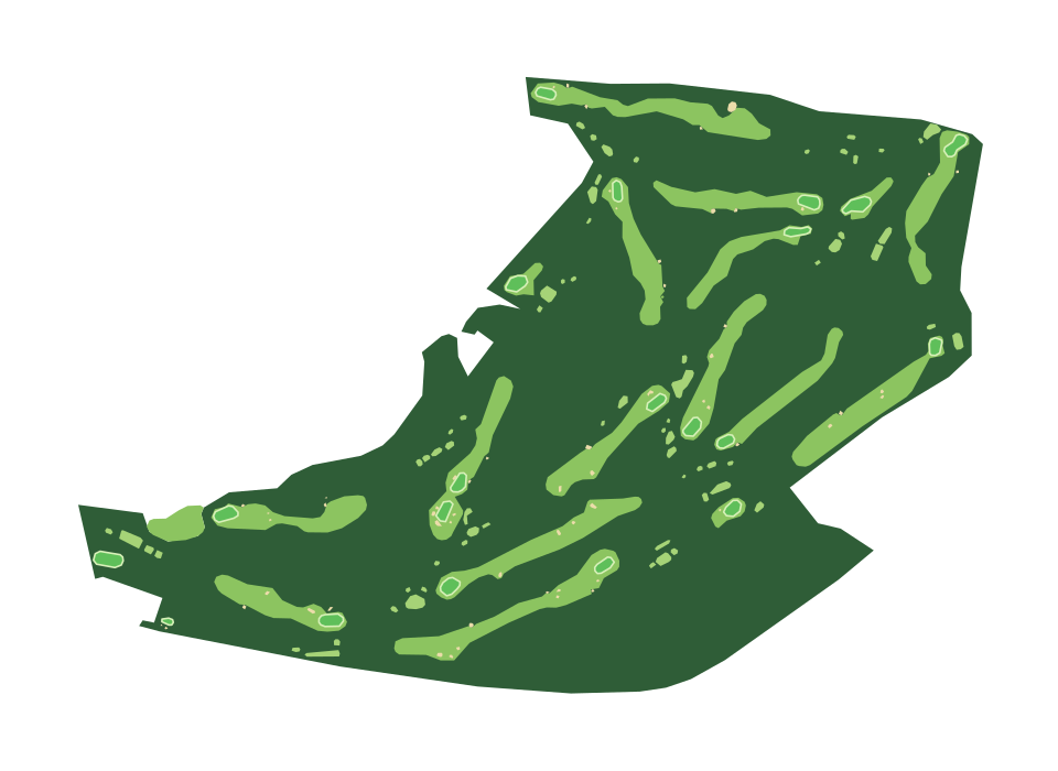 Royal Portrush Dunluce Links
Portrush, County Antrim, Northern Ireland
-
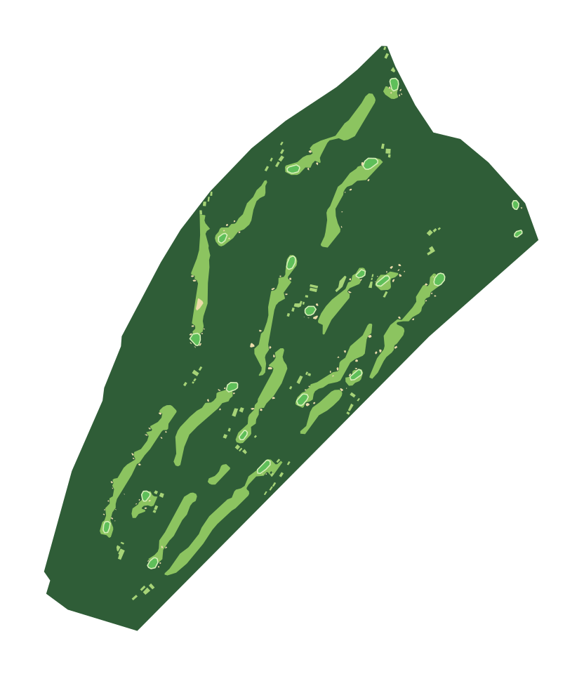 Royal County Down
Newcastle, County Down, Northern Ireland
-
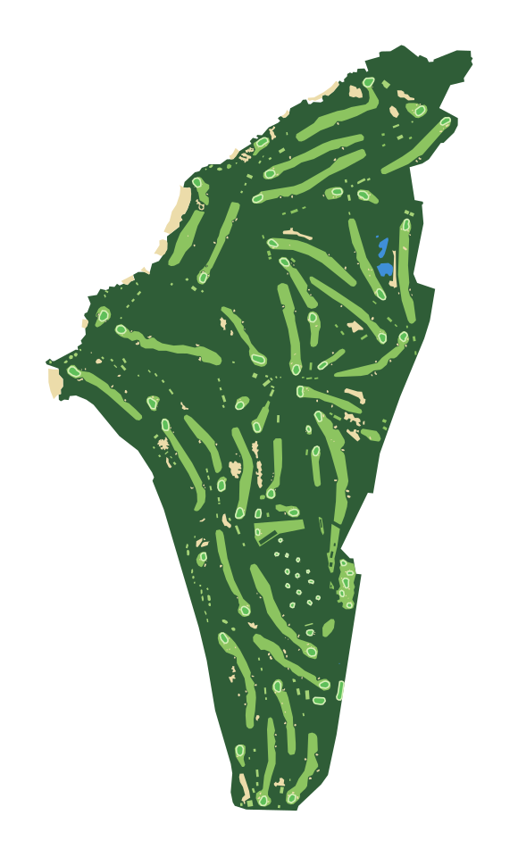 Turnberry Ailsa Course
Turnberry, South Ayrshire, Scotland
-
 Royal Troon Golf Club
Troon, South Ayrshire, Scotland
-
 Prestwick Golf Club
Prestwick, South Ayrshire, Scotland
-
 Dundonald Links
North Ayrshire, Scotland