3D print The Old Course at St Andrews
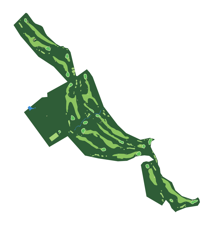
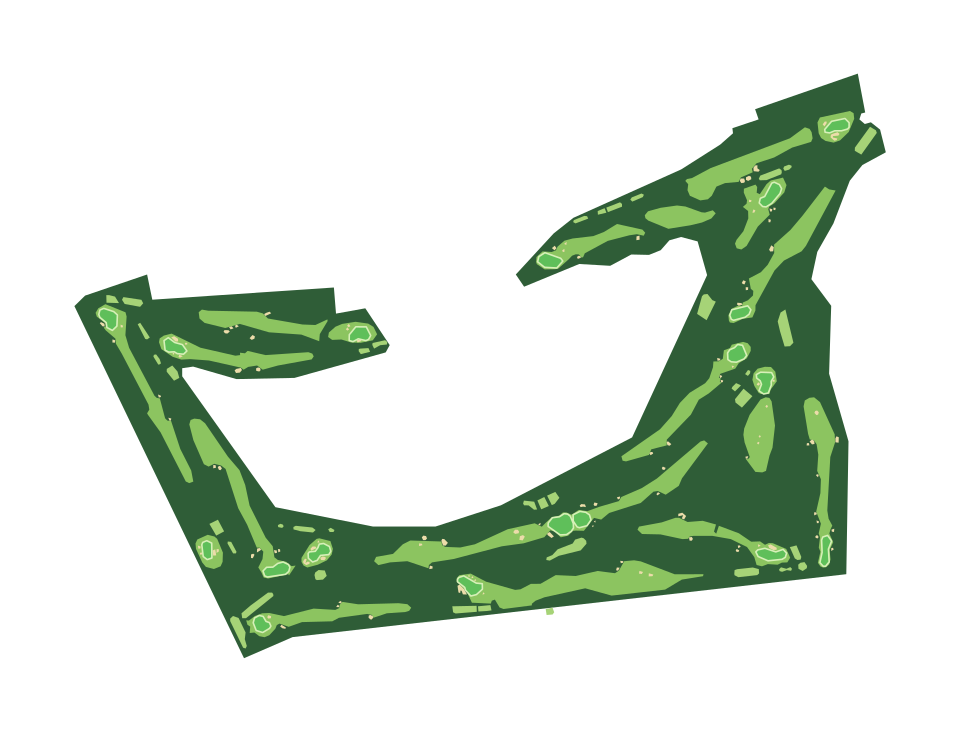
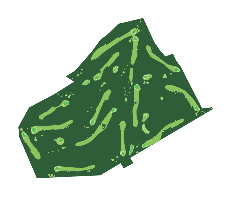
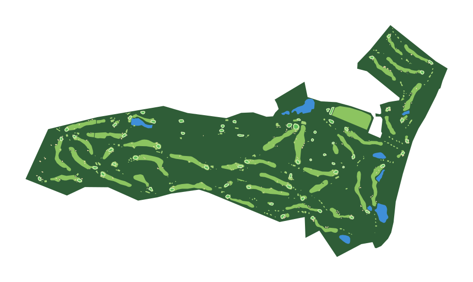
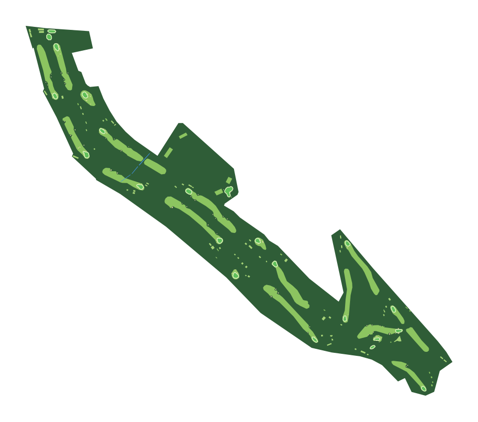
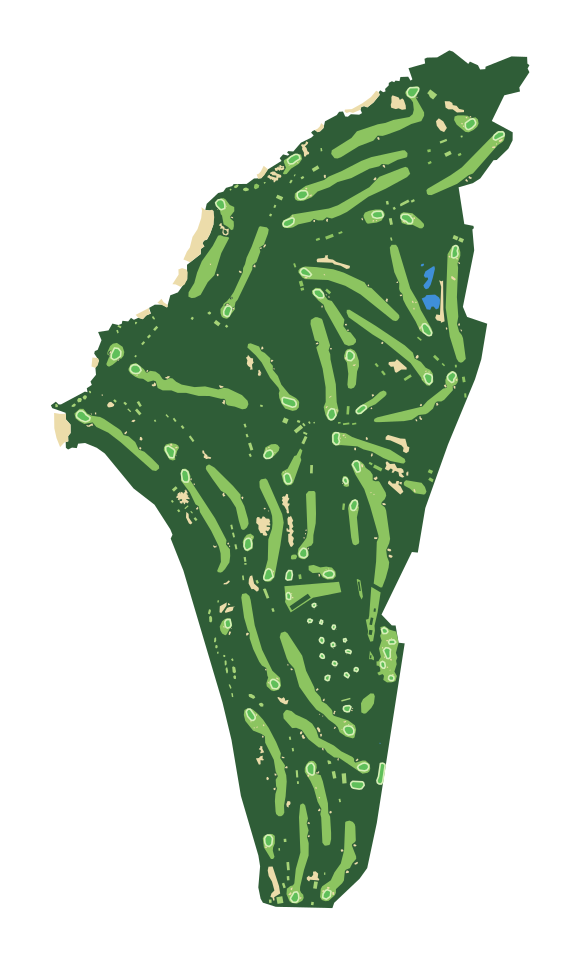
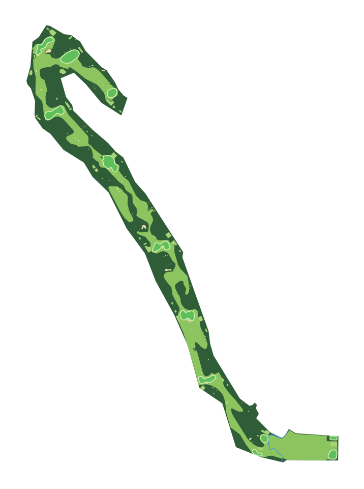
The Old Course at St Andrews on one print: a 1.7 by 2.2 km map of the course, every fairway, green, bunker and pond as OpenStreetMap maps them, on the terrain they sit on.
- Location
- St Andrews, Fife, Scotland
- Established
- 1552
- Type
- Public
- Holes
- 18
- Par
- 72
- Length
- 7,305 yards (6,680 m)
- Has hosted
- The Open
On the print
1.7 by 2.2 km, on a 160 mm print
- Fairways, greens and bunkers
- OpenStreetMap maps 8 fairways, 12 greens, 42 tees, 110 bunkers and 5 ponds and lakes here. Fairways and tees print in a lighter green than the rough around them and greens in their own color, each a part of its own in the 3MF, so you can give the holes a filament of their own. Bunkers print as sand when Scenery details are on, and water as water.
- The footprint
- The print opens in City mode on a 1.7 by 2.2 km rectangle around the course, with a margin on every side. Move or resize it in the generator to take in more of the area.
Common questions
Is the The Old Course at St Andrews 3D print free?
Yes. The generator runs in your browser and exports a 3MF file you can open in any common slicer. There is no account or payment.
Can I see the individual holes?
Yes. Each fairway, tee and green is its own shape, so the holes read as lighter strips through the rough with a green at the end. At the default 160 mm print a fairway is a few millimetres wide; a larger print shows more of the shaping.
Are the hills and slopes included?
Yes. The course sits on the real terrain. Most courses are gentle, so in the generator you can raise the Elevation multiplier to make the slopes easier to see.
Can I get an STL instead of a 3MF?
The generator exports 3MF, which keeps each color as its own part. Any slicer can open it and save an STL if you need one.
Sources: Wikipedia: Old Course at St Andrews, Wikidata: Old Course at St Andrews, OpenStreetMap: Old Course
Nearby