Mars to model
Turn Mars terrain into a 3D printable model
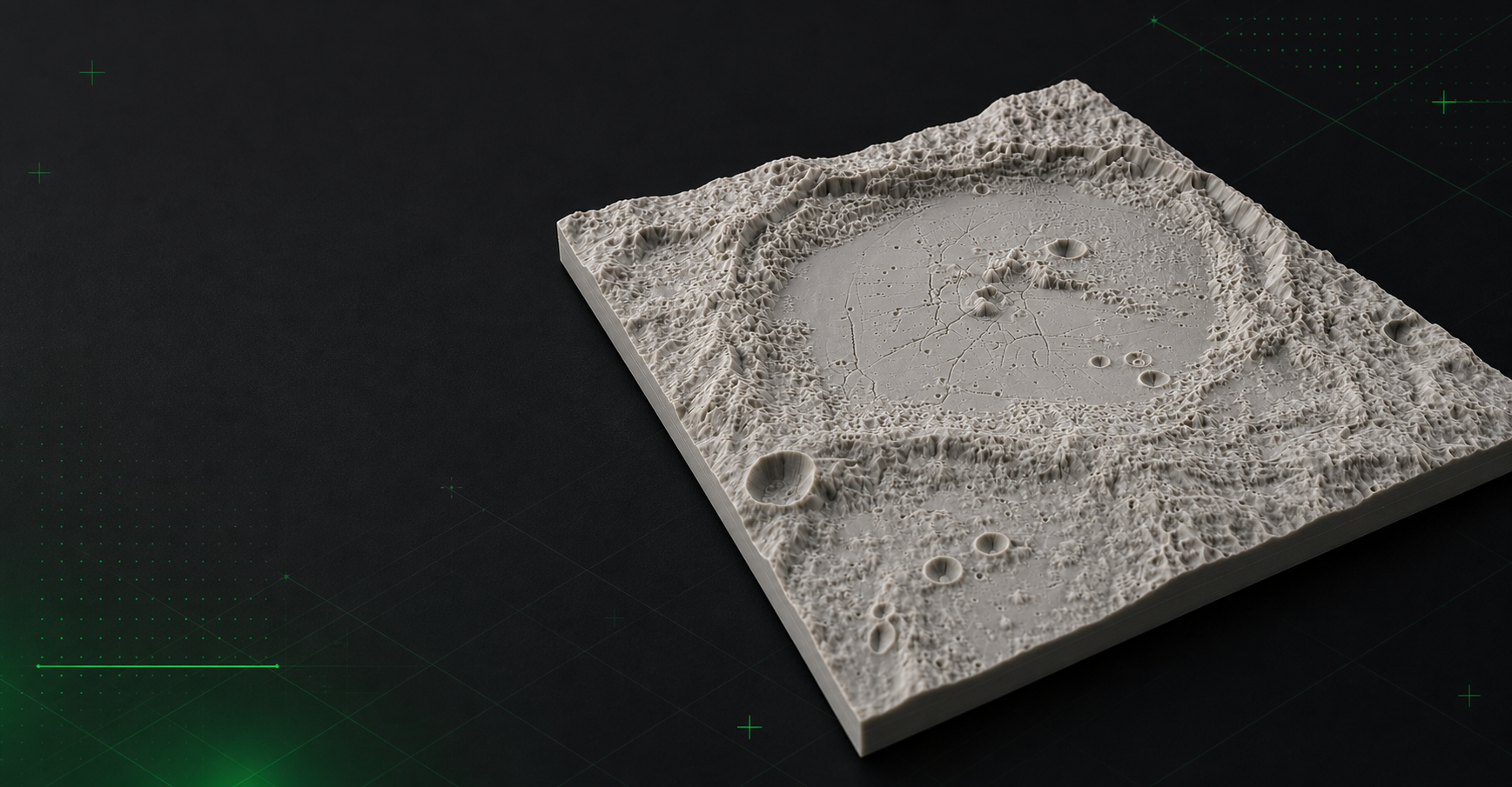
Mini Skyline converts selected Martian regions into printable terrain models so you can export recognizable relief from craters, volcanoes, canyons, and polar terrain.
- Select Mars terrain directly from planetary map layers.
- Preview craters, volcanoes, canyons, and polar regions as 3D relief.
- Export Mars terrain as STL, 3MF, or OBJ for printing and sharing.
Map-to-model workflow for Mars terrain
Mini Skyline turns Martian elevation data into printable relief models without needing a separate terrain meshing tool or manual cleanup.
Useful for iconic planetary landmarks
Olympus Mons, Valles Marineris, crater rims, landing areas, and polar terrain all work well when the goal is a physical relief print.
Common questions
Can I make a 3D model from Mars topography?
Yes. Mars mode can preview terrain in 3D and export printable STL, 3MF, or OBJ files from the selected region.
Is Mars to model terrain-only?
Yes. Mars generation uses planetary imagery and elevation data, so the output is terrain relief rather than Earth-style roads or buildings.