Vesta to model
Turn Vesta terrain into a 3D printable model
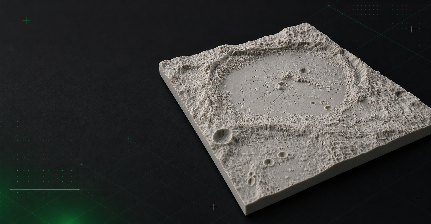
Mini Skyline can generate printable Vesta terrain models from Dawn-derived topography, making it easier to turn asteroid-belt terrain into physical relief prints.
- Select Vesta terrain from planetary map layers and preview it in 3D.
- Generate cratered, ridge-heavy relief models from Dawn topography data.
- Export Vesta terrain as STL, 3MF, or OBJ files for printing.
Dawn-derived terrain relief
Vesta mode uses Dawn mission terrain data so the printed model reflects the real shape of the selected Vestan region instead of an invented asteroid surface.
Useful for crater basins and high-relief areas
Vesta prints work especially well for dramatic crater rims, basin edges, and ridged terrain where compact models still show strong relief.
Common questions
Can I make a 3D model from Vesta terrain?
Yes. Mini Skyline can preview selected Vesta terrain and export STL, 3MF, or OBJ files for printable relief models.
Is Vesta terrain a city-style map mode?
No. Vesta is terrain-only and uses planetary topography rather than Earth buildings, roads, or parks.