3D printable map generator
Create a 3D printable map from a real place
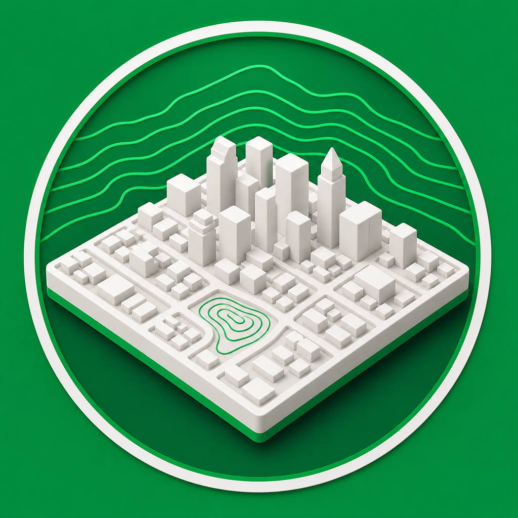
Mini Skyline turns selected map areas into 3D printable maps for city displays, neighborhood models, terrain relief, and custom location-based prints.
- Draw the exact map footprint you want to print.
- Generate terrain relief and city features from real geographic data.
- Export printer-ready STL, 3MF, or OBJ files after checking the preview.
For city maps and terrain relief
Use Earth city mode for mapped buildings and streets, or switch to planetary terrain modes for Moon and Mars relief models.
Made for physical output
Controls for model width, base thickness, frame border, and height scaling help turn map data into a practical print.
Common questions
What kinds of maps can I make printable?
You can make city relief maps from Earth map data, and terrain-only relief models for supported planetary bodies such as the Moon and Mars.
Can I preview the printable map before exporting?
Yes. Mini Skyline generates a 3D preview so you can check the model before downloading STL, 3MF, or OBJ files.