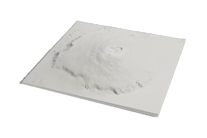
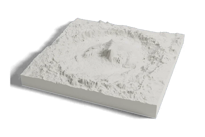
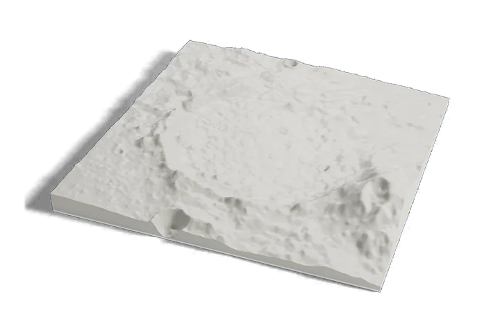
3D print Valles Marineris, the Grand Canyon of Mars
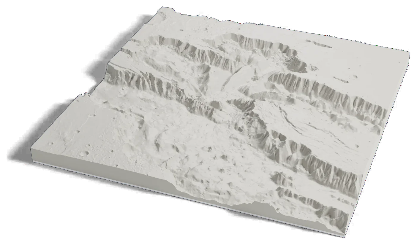
The widest part of the canyon on one print: three linked troughs, Ophir, Candor and Melas Chasmata, cut kilometers deep into the plains, from Mars elevation data.
Where it is 7.50°S 72.00°W Mars
- Length
- About 3,800 km (2,400 mi)
- Greatest depth
- About 9 km (5.8 mi)
- On this print
- Ophir, Candor and Melas Chasmata
- Depth here
- 5 to 7 km (16,000 to 23,000 ft)
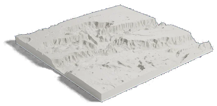
705 by 699 km of Mars, 160 mm across
About Valles Marineris
Valles Marineris runs about 3,800 km (2,400 mi) along the Martian equator, long enough to stretch from California to New York and more than ten times the length of Earth's Grand Canyon. NASA puts its deepest point about 9 km (5.8 mi) below the rim.
This print frames its widest part, where Ophir, Candor and Melas Chasmata lie side by side. ESA measures each trough at about 200 km (120 mi) wide and 5 to 7 km (16,000 to 23,000 ft) deep. The canyon system is named for the science team of the Mariner 9 mission.
Sources: IAU Gazetteer of Planetary Nomenclature: Valles Marineris, NASA Science: Mars facts, NASA Science: Valles Marineris, the Grand Canyon of Mars, ESA: Melas, Candor and Ophir Chasmas in perspective, ESA: Ophir Chasma