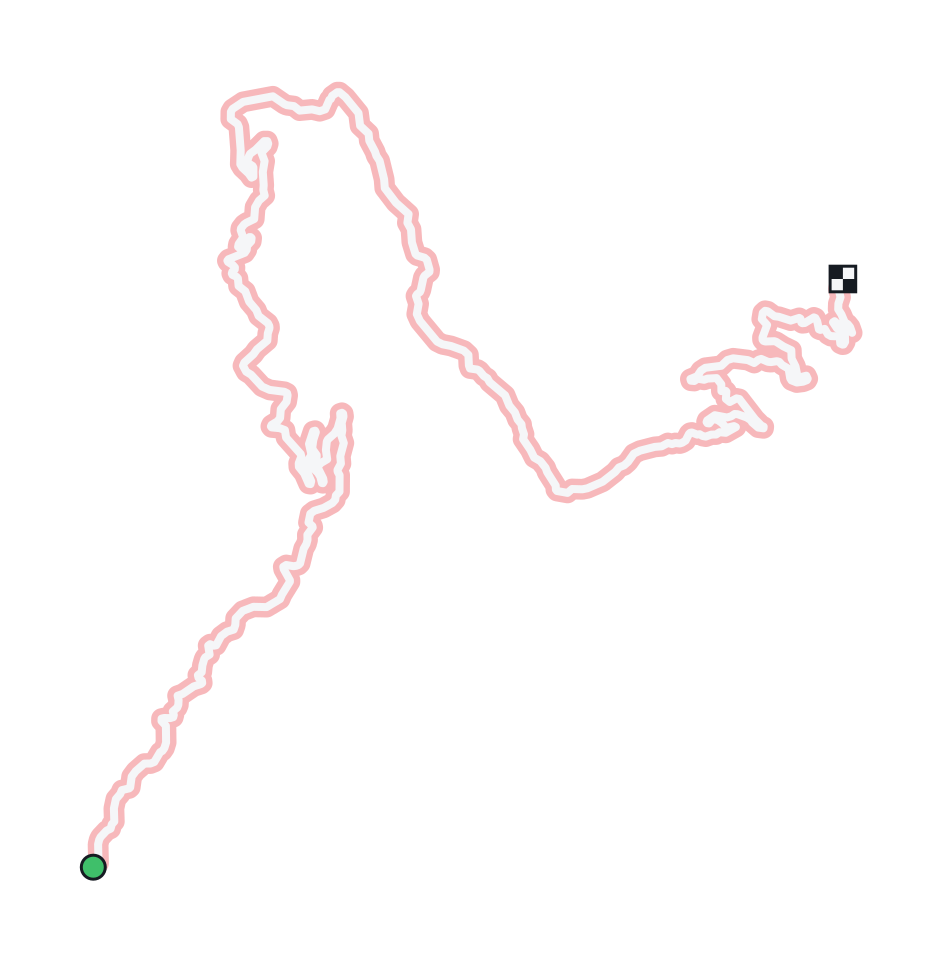
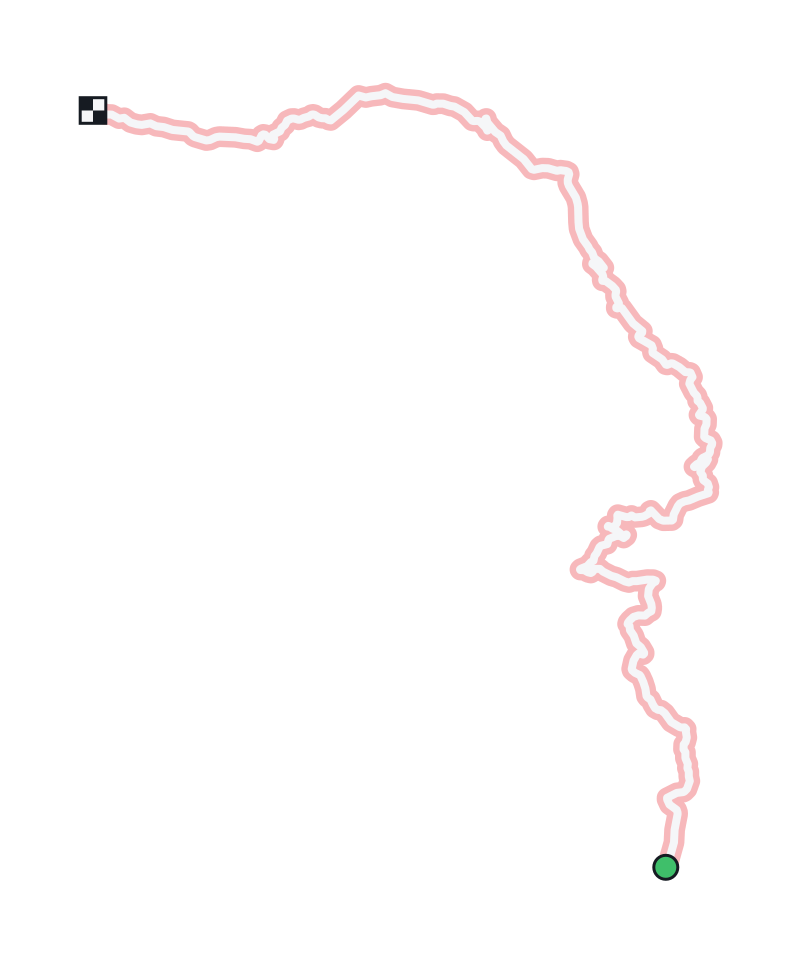
Tarmac
3D print Col de Turini
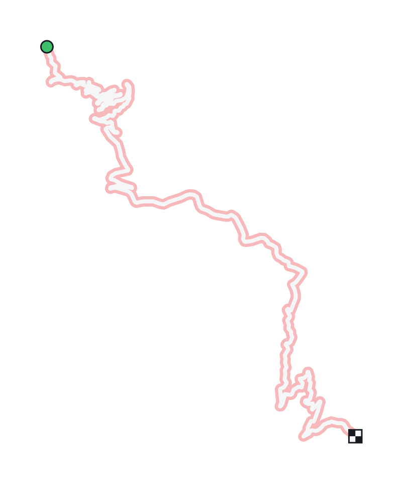
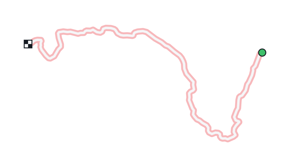
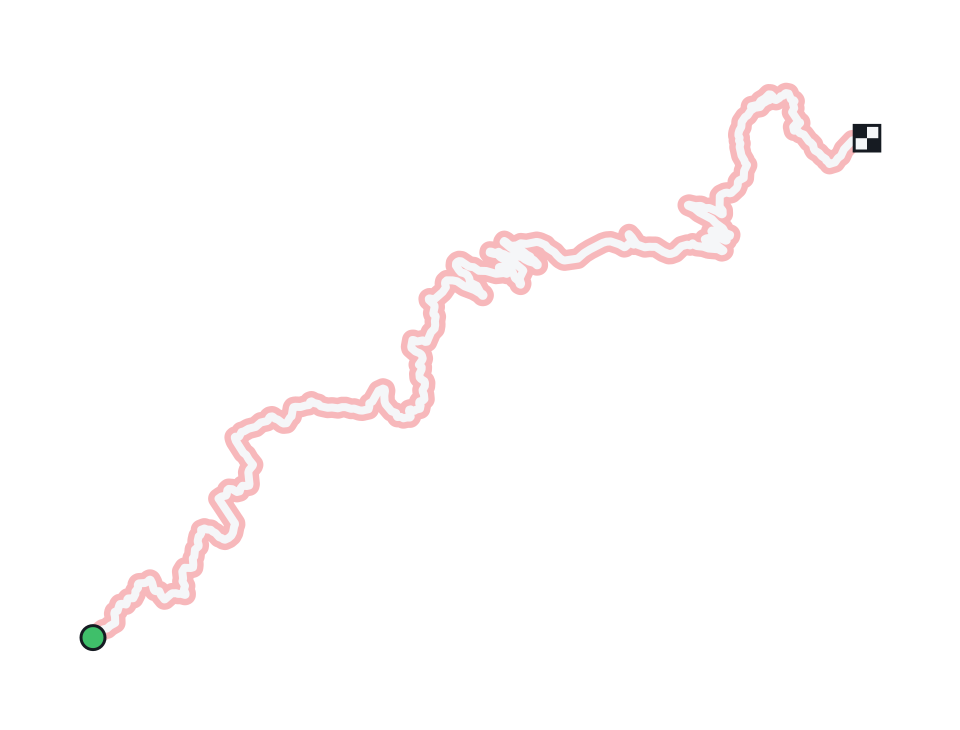
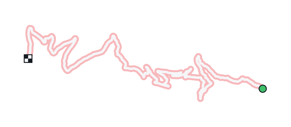
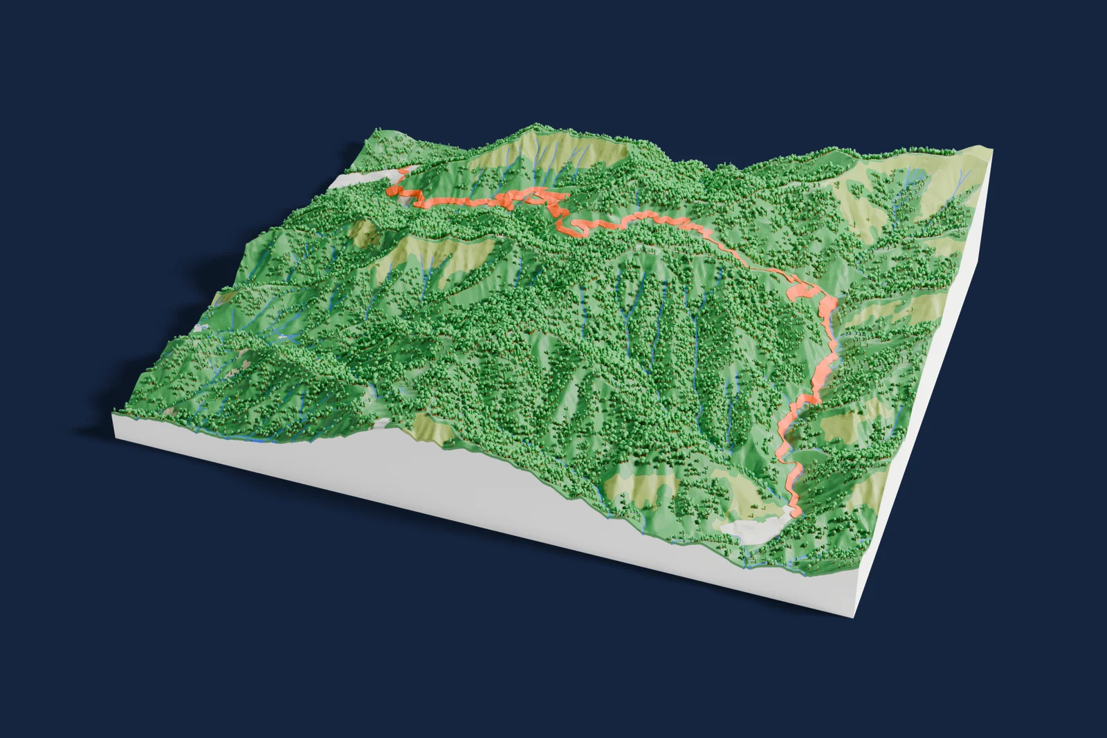
Col de Turini on one print: an 8.4 by 6.9 km terrain map of the 22.9 km road from La Bollène-Vésubie to Moulinet, a road the Monte-Carlo Rally races, with the stage drawn in its own color on the land around it.
- Location
- Alpes-Maritimes, France
- Rally
- Monte-Carlo Rally
- Surface
- Tarmac
- Route
- La Bollène-Vésubie to Moulinet
- Length as mapped
- 22.9 km
- Highest point
- Col de Turini, 1,607 m
- Roads
- M 70, D 2566
On the print
8.4 by 6.9 km, on a 160 mm print
- The stage in its own color
- The stage is added as a route, so it prints as its own part on the terrain with its own color. Change the color or the line in the generator, or print the whole map in one filament.
- The footprint
- The print opens in Terrain mode on an 8.4 by 6.9 km rectangle around the stage, with a margin on every side. Move or resize it in the generator to take in more of the area.
- The route
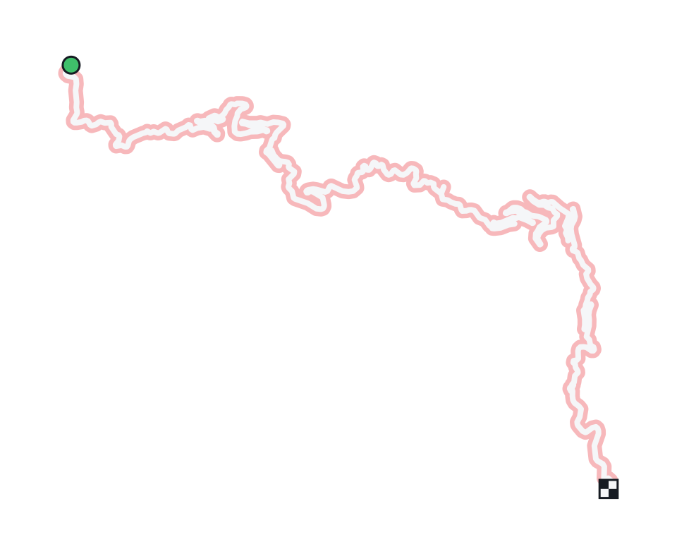
- The line follows OpenStreetMap roads from La Bollène-Vésubie to Moulinet. A rally moves its start and finish from year to year, so the stage you remember may begin or end a little differently.
Common questions
Is the Col de Turini 3D print free?
Yes. The generator runs in your browser and exports a 3MF file you can open in any common slicer. There is no account or payment.
Does the print show the whole stage?
Yes. It opens on an 8.4 by 6.9 km rectangle around the 22.9 km road from La Bollène-Vésubie to Moulinet, so the whole route fits with the land around it.
How tall is the terrain on the print?
The terrain prints at true scale, the same as the map. Raise the Elevation multiplier in the generator for steeper relief.
Can I get an STL instead of a 3MF?
The generator exports 3MF, which keeps each color as its own part. Any slicer can open it and save an STL if you need one.
Sources: Wikipedia: Col de Turini, Wikidata: Col de Turini, OpenStreetMap: M 70
Nearby