Mini Skyline
Turn real maps into 3D printable city models
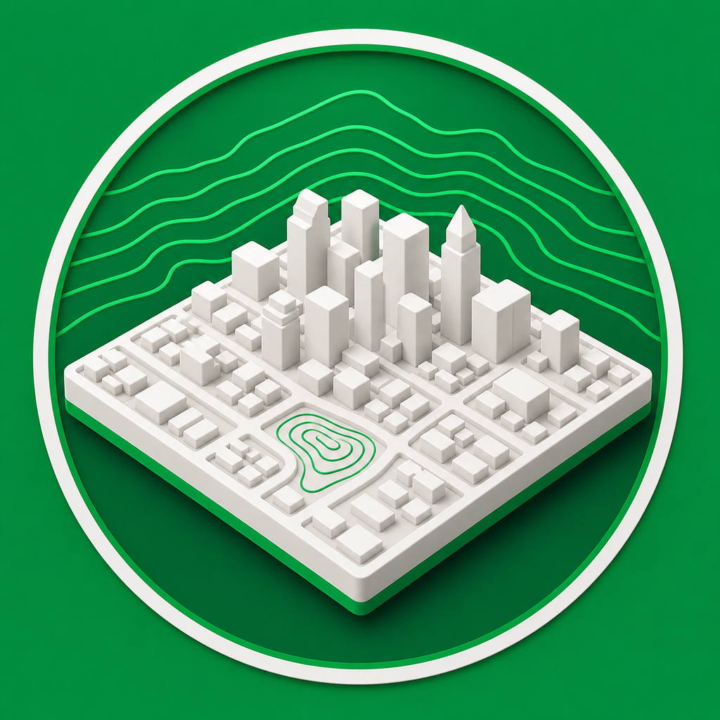
Mini Skyline is a map-to-model generator for makers. Select a real place, preview terrain and city features in 3D, and export STL, 3MF, or OBJ files for 3D printing.
- Create printable city relief models from real map and elevation data.
- Generate terrain, buildings, roads, water, parks, paths, and railways where source data exists.
- Export STL for simple printing, 3MF for color-capable slicer workflows, or OBJ with materials.
Common questions
What does Mini Skyline generate?
Mini Skyline generates 3D printable city and terrain models from selected map areas, including terrain relief, buildings, roads, water, parks, and export files where source data is available.
Can I export STL files from a map?
Yes. Select a map area, preview the generated model, then export STL for simple mesh workflows or 3MF and OBJ when you need color or material data.