Map to STL
Convert a map to an STL file
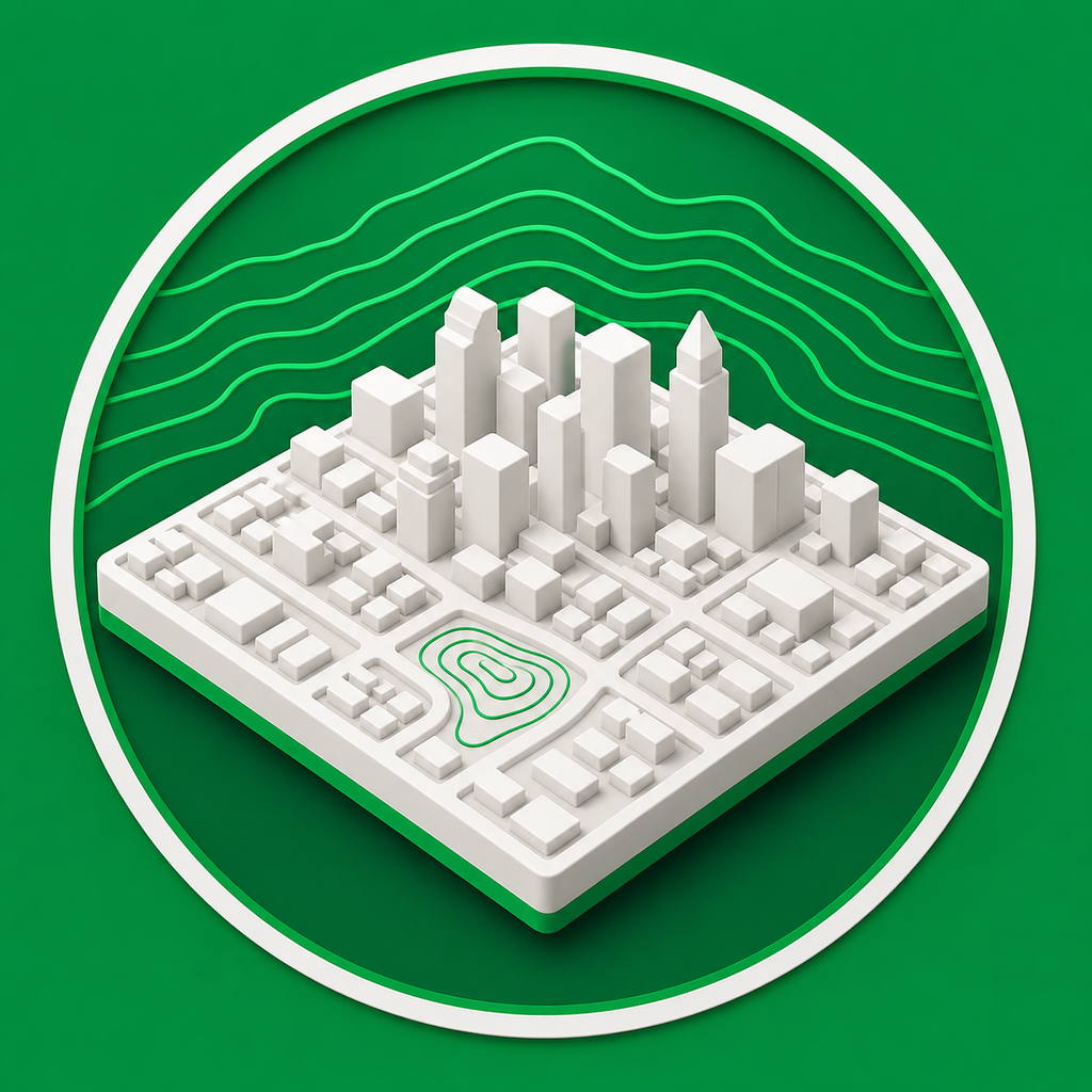
Mini Skyline converts selected map areas into STL files for 3D printing, with city terrain, buildings, roads, water, and parks generated from real map data.
- Select a real-world map footprint and generate a printable relief model.
- Use STL export for slicers that need a simple single-mesh file.
- Preview the generated 3D model before downloading the STL.
A direct map-to-STL workflow
Instead of tracing a place manually, choose the map area and let Mini Skyline build the printable terrain and city geometry.
Use 3MF when you need color
STL is available for simple exports, while 3MF keeps separate color-capable city parts for Bambu Studio, OrcaSlicer, and similar workflows.
Common questions
Can I make an STL from a real city map?
Yes. Select the city area, preview the generated mesh, then choose STL as the export format.
Does STL include colors?
STL exports the printable geometry only. Use 3MF or OBJ when you want color or material information.