Map to model
Turn a map into a 3D printable model
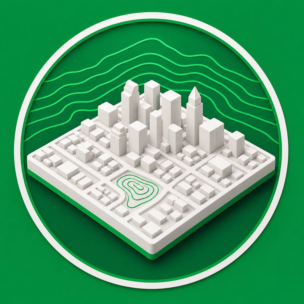
Mini Skyline converts a selected map area into a physical model with terrain relief, buildings, roads, water, parks, and export options for 3D printing.
- Draw a rectangle, circle, or freeform polygon around the map area you want to print.
- Generate printable city geometry from map and elevation data.
- Download STL, multicolor 3MF, or OBJ files after checking the 3D preview.
From real places to physical models
Use map data to create city gifts, neighborhood models, campus displays, tabletop terrain, and other location-specific prints.
No CAD cleanup required
The app handles terrain, base thickness, feature widths, building height settings, and slicer-friendly export formats in one browser workflow.
Common questions
How do I turn a map into a 3D model?
Select a map area, choose the physical model settings, preview the result in 3D, and export the generated model as STL, 3MF, or OBJ.
Can I choose a custom map shape?
Yes. Mini Skyline supports rectangular, circular, and freeform polygon selections so the printable footprint can match the area you want.