3D print the Caspian Sea down to its bed
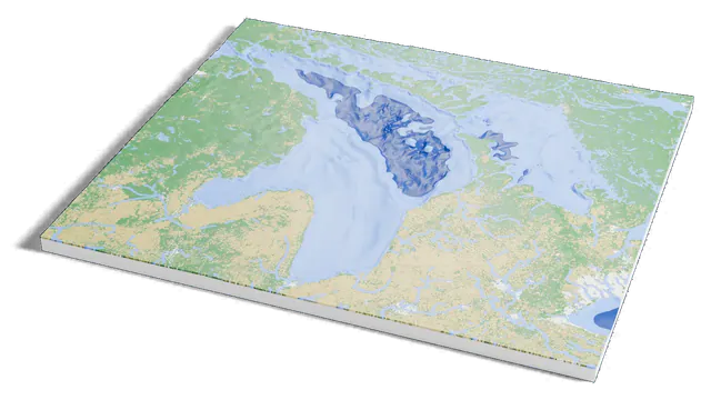
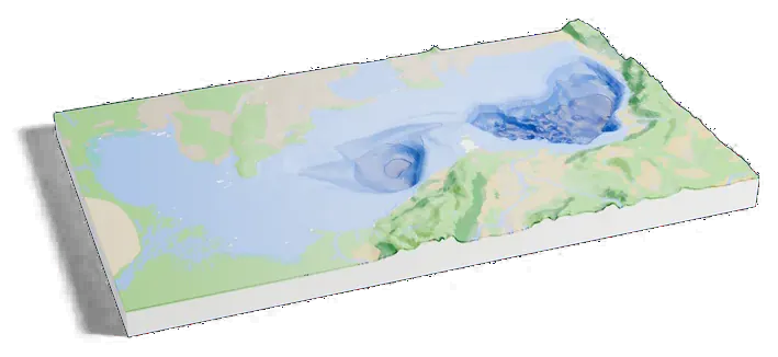
The Caspian Sea with the water taken away: its bed from ETOPO 2022, shaded darker where it is deeper, and the land around it in relief. Open it in the generator, change the size or colors, and export a slicer-ready 3MF.
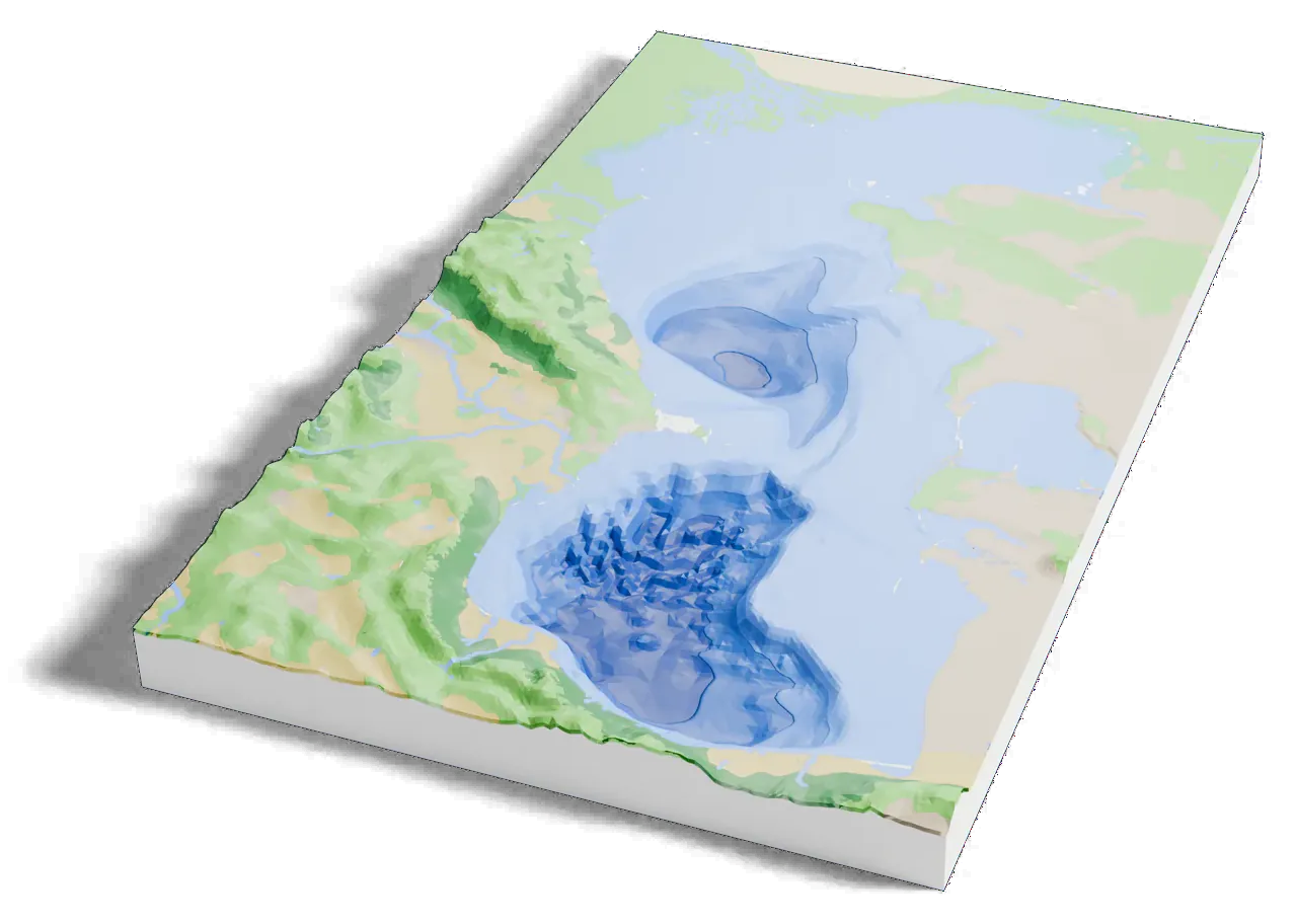
1,025 m of water, 5.3 mm on your shelf
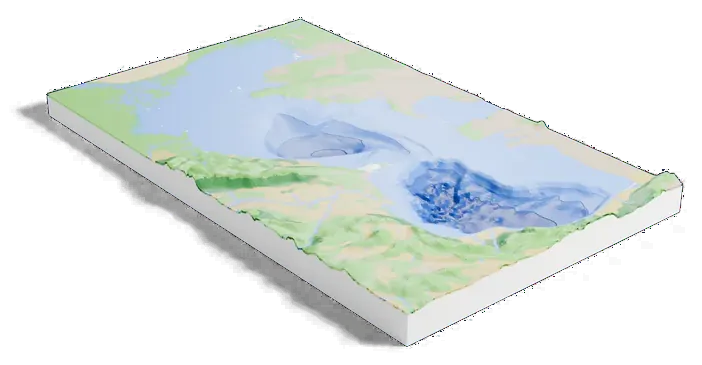
The print covers 688 by 1,229 km. On a 160 mm print the deepest point sits 5.3 mm below the shore.
| Deepest point | Scale | |
|---|---|---|
| 160 mm default | 5.3 mm | 1:7,680,000 |
| 200 mm | 6.7 mm | 1:6,140,000 |
| 256 mm | 8.5 mm | 1:4,800,000 |
- Real depths
The bed comes from ETOPO 2022, NOAA’s global relief model, about 450 m apart. Water depth: Sea floor drains the water away and prints the bed in its place.
- 40 times deeper than life
At true scale the deepest point would sit 0.1 mm below the water line on a 160 mm print, too little to see. The print opens with the Elevation multiplier at 8 and the Sea floor depth scale at 5, so the bed is 40 times deeper than life and the land 8 times taller.
- Shades of depth
The bed prints in four shades of the water color, lighter in the shallows and darker in the deeps, each its own filament. Change the number of shades on the Water tab.
About the Caspian Sea
The Caspian Sea is the largest inland body of water on Earth, often called the world’s largest lake. It lies east of the Caucasus and north of the Iranian Plateau, bounded by Kazakhstan, Russia, Azerbaijan, Iran and Turkmenistan, and has no outlet to the ocean. Its water is about a third as salty as seawater.
It runs 1,200 km (750 mi) from north to south. The Volga enters at the shallow north end, and two deep basins form its middle and south; the bed of the southern one reaches about 1,023 m (3,356 ft) below sea level. Its surface is itself about 27 m below sea level.
Next to the others
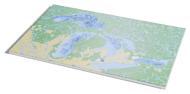
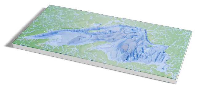
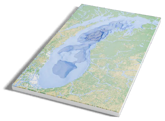
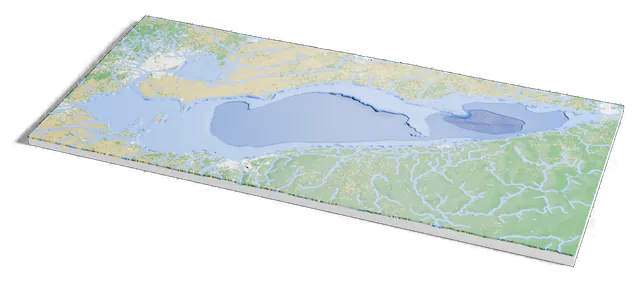
the Caspian Sea next to the other lakes
Common questions
Is the Caspian Sea depth map free?
Yes. The generator runs in your browser and exports a 3MF file you can open in any common slicer. There is no account or payment.
Are the depths real?
Yes. The bed is read from ETOPO 2022, NOAA’s global relief model, about 450 m apart, when the model is made. It is not estimated from the land around the lake.
Is the lake printed at its true depth?
No. It opens 40 times deeper than life, about 5.3 mm at the deepest point on a 160 mm print, because at true scale the bed would be only 0.1 mm deep. Lower the Elevation multiplier or the Sea floor depth scale for a flatter model.
Can I get an STL instead of a 3MF?
The generator exports 3MF, which keeps each color as its own part. Any slicer can open it and save an STL if you need one.