3D print the Koutoubia Mosque
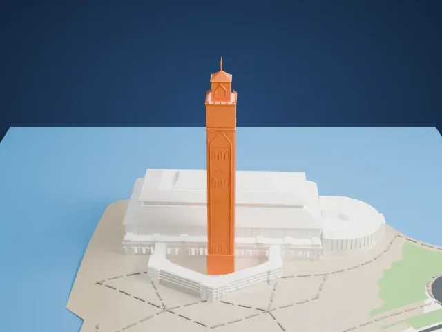
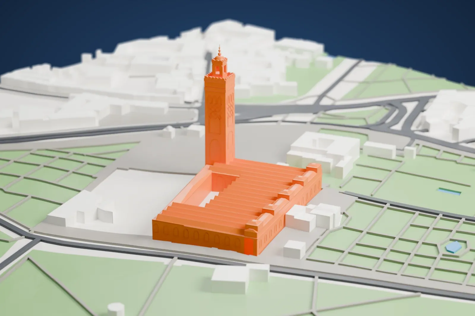
A free, printable model of the Koutoubia Mosque, its tall minaret and long ribbed prayer hall, among the gardens, paths and streets around it, generated from real map data in your browser.
-
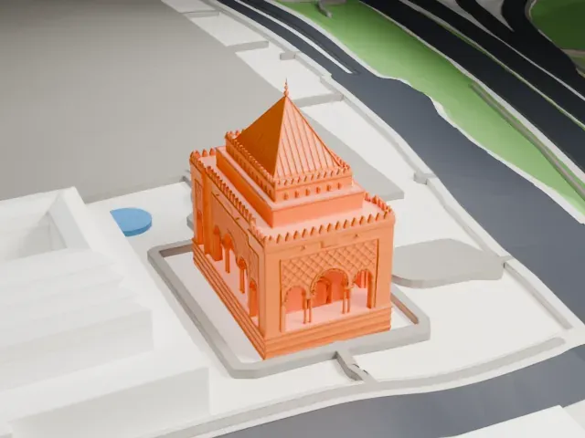
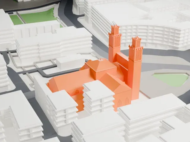
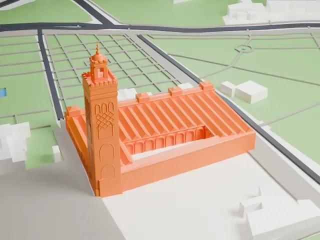 North
-
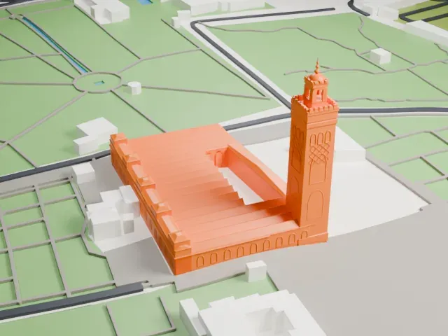 East
-
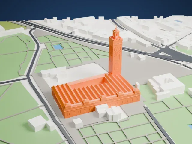 South
-
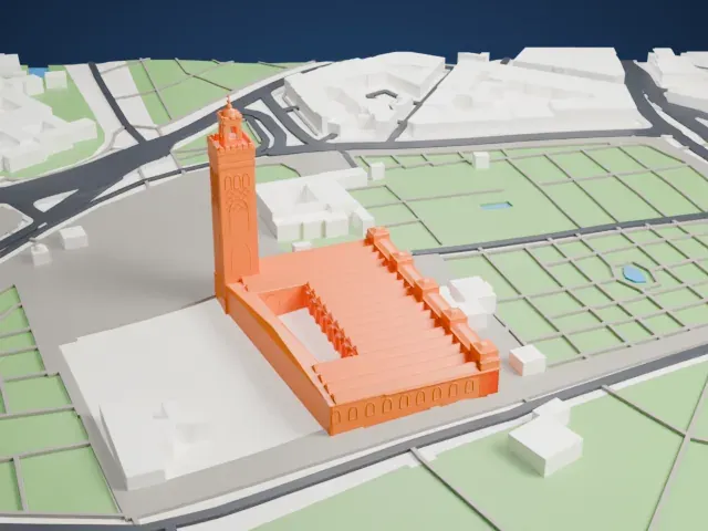 West
The model you print
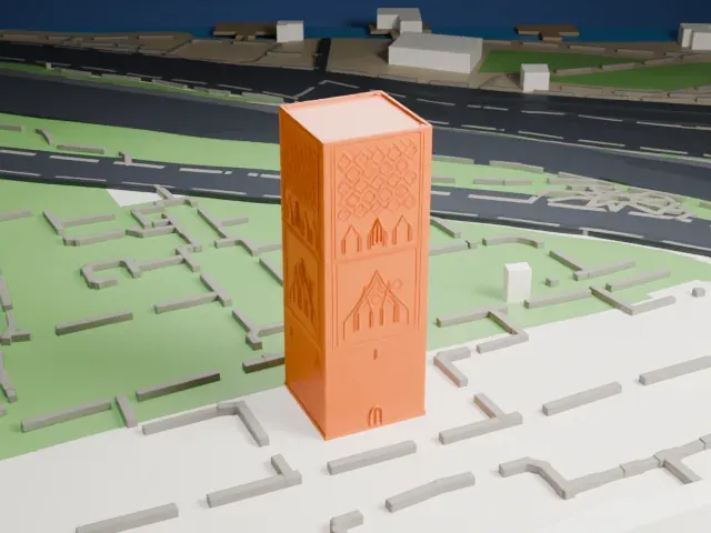
Koutoubia Mosque in 3D
The landmark on its own, at its size on a 160 mm print. Print friendly thickens thin parts for a 0.4 mm nozzle; Full detail keeps every part.
- Real height
- 77 m
- On a 160 mm print
- 22 mm
- Scale
- 1:3,750
77 m of the Koutoubia Mosque, 22 mm on your shelf
Make this print opens the generator on a 600 m square around the landmark. Buildings print at close to true scale, so the landmark grows with the print size.
- Tall minaret with a spire
The square minaret rises well above the prayer hall and ends in a thin spire. Print slowly with good cooling for the top, and Print friendly adapts the spire to the print scale.
- Ribbed roofs and crenellations
Rows of parallel ridged roofs and small crenellations line the hall. Layers of 0.12 to 0.16 mm keep the ridges crisp, and a bigger print size keeps the crenellations distinct.
- One piece with the ground
The Koutoubia Mosque is joined to the ground in the exported file, and the four-side check found no floating parts, so nothing needs gluing.
- Pick the detail for your nozzle
In the Buildings settings, set Landmark detail to Print friendly to adapt thin parts and small details to the print scale. Full detail keeps every modeled feature, for larger prints or a finer nozzle.
- Colors
Buildings, roads, water and ground arrive as separate filament slots in the 3MF. The Koutoubia Mosque takes the building color.
- File format
You get a 3MF for Bambu Studio, OrcaSlicer or PrusaSlicer. Any of them can save it as STL if you need one.
About the Koutoubia Mosque
The Koutoubia Mosque, also spelled Kutubiyya, is the biggest mosque in Marrakesh, Morocco. It stands in the southwest of the medina, on Avenue Mohammed V about 200 meters (660 ft) west of the Jemaa el-Fnaa market place, with large gardens around it. Its name comes from the Arabic word for booksellers, after the book trade once carried on in the streets at its base.
Abd al-Mu'min, the Almohad caliph, founded the first mosque in 1147, the year he took Marrakesh from the Almoravids. He rebuilt it entirely around 1158, and Ya'qub al-Mansur possibly completed the minaret around 1195. That second mosque is the building that stands, and it is a key example of both Almohad and Moroccan mosque architecture. Ruins of the first mosque can be seen on the esplanade beside it.
The minaret rises 77 meters (253 ft). Its faces carry varying geometric arch motifs, and it ends in a spire with metal orbs. It likely inspired Seville's Giralda and Rabat's Hassan Tower, both built shortly afterward, and it is considered a landmark and symbol of Marrakesh.
About this model
The Koutoubia Mosque is one of more than 6,500 landmark models in Mini Skyline. They are made with AI, and each one is checked in its real surroundings before release. Each model is written as code from public descriptions, plans, photographs and aerial views used only as references; no image or third-party model is copied into it. Everything around it is built from OpenStreetMap and Overture map data. Rights in the building itself, its name and any brands on it are not granted by Mini Skyline; clear them separately before you sell prints. If you would rather print the shape from map data, turn off Landmark models in the Buildings settings.
Mini Skyline is not affiliated with, or endorsed by, the owners of this building or its names and marks.
Keep exploring