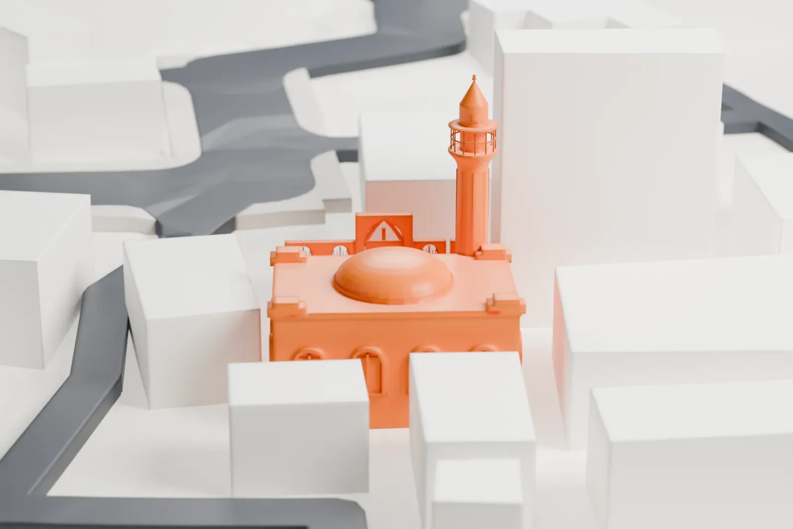
3D print the White Mosque, Nazareth
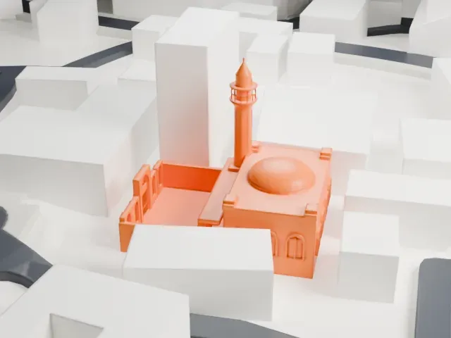
A free, printable model of the White Mosque in Nazareth, a square building with a shallow dome and slender minaret, with the narrow streets around it, generated from real map data in your browser.
-
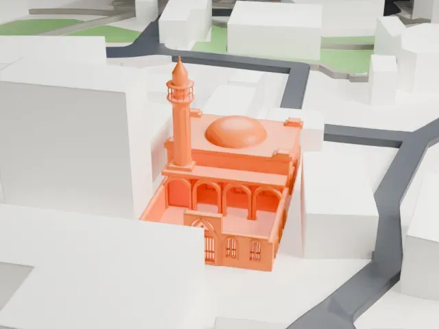 North
-
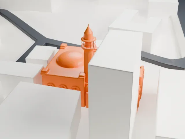 East
-
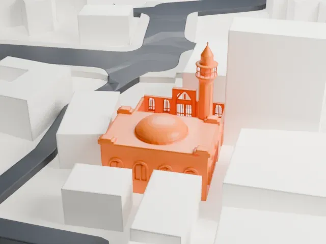 South
-
 West
The model you print
White Mosque, Nazareth in 3D
The landmark on its own, at its size on a 160 mm print. Print friendly thickens thin parts for a 0.4 mm nozzle; Full detail keeps every part.
- On a 160 mm print
- 6 mm
- Scale
- 1:3,750
6 mm tall on a 160 mm print
Make this print opens the generator on a 600 m square around the landmark. Buildings print at close to true scale, so the landmark grows with the print size.
- Pencil-shaped minaret
The minaret is a tall, thin shaft with a small balcony and a pointed cap. Print friendly adapts it to the print scale; Full detail keeps it on a larger print. Printing slowly helps thin tall parts.
- Shallow dome and arches
A low dome sits on a square block with rows of arched openings. A layer height of 0.12–0.16 mm keeps the arches crisp.
- One piece with the ground
The White Mosque, Nazareth is joined to the ground in the exported file, and the four-side check found no floating parts, so nothing needs gluing.
- Pick the detail for your nozzle
In the Buildings settings, set Landmark detail to Print friendly to adapt thin parts and small details to the print scale. Full detail keeps every modeled feature, for larger prints or a finer nozzle.
- Colors
Buildings, roads, water and ground arrive as separate filament slots in the 3MF. The White Mosque, Nazareth takes the building color.
- File format
You get a 3MF for Bambu Studio, OrcaSlicer or PrusaSlicer. Any of them can save it as STL if you need one.
About the White Mosque, Nazareth
The White Mosque is in Nazareth, in Israel's northern district. It lies in Harat Alghama, the Mosque Quarter, at the heart of the Old Market area. Its pencil-shaped minaret, cream-colored walls and green trim and dome reflect the Ottoman architecture seen across the city.
Funding came from Sulayman Pasha al-Adil, an Egyptian Ottoman ruler, and Sheikh Abdullah al-Fahoum, the high commissioner of Nazareth, oversaw the work. Construction took place between 1804 and 1808. Sheikh Abdullah held its trusteeship as a waqf until his death in 1815, and his tomb is in the courtyard. He built it as a marker of the end of Jazzar Pasha's time as Ottoman governor. White, he decided, stood for purity, light and peace, a new era for the faiths of Nazareth.
The mosque serves Nazareth's Muslim community with religious classes for young men and sponsors a Muslim scout troop. It also houses a museum whose exhibits document Nazareth's recent history, and it remains within the al-Fahoum family's waqf.
About this model
The White Mosque, Nazareth is one of more than 6,500 landmark models in Mini Skyline. They are made with AI, and each one is checked in its real surroundings before release. Each model is written as code from public descriptions, plans, photographs and aerial views used only as references; no image or third-party model is copied into it. Everything around it is built from OpenStreetMap and Overture map data. Rights in the building itself, its name and any brands on it are not granted by Mini Skyline; clear them separately before you sell prints. If you would rather print the shape from map data, turn off Landmark models in the Buildings settings.
Mini Skyline is not affiliated with, or endorsed by, the owners of this building or its names and marks.
Keep exploring
More landmarks to print
 Place of worshipGreek Orthodox Church of the AnnunciationNazareth
 StadiumBloomfield StadiumTel Aviv
 Place of worshipShrine of the BábHaifa
 TowerNational Headquarters of the Israel PoliceEast Jerusalem
 StadiumTurner StadiumBe'er Sheva
 Place of worshipChurch of Saint Anne, JerusalemMunicipality of Jerusalem