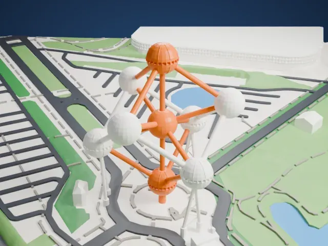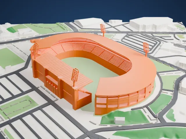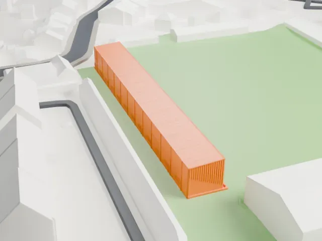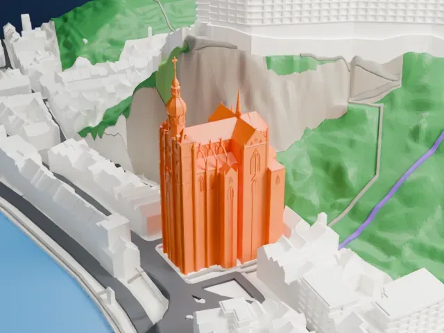
3D print Wijnendale Castle
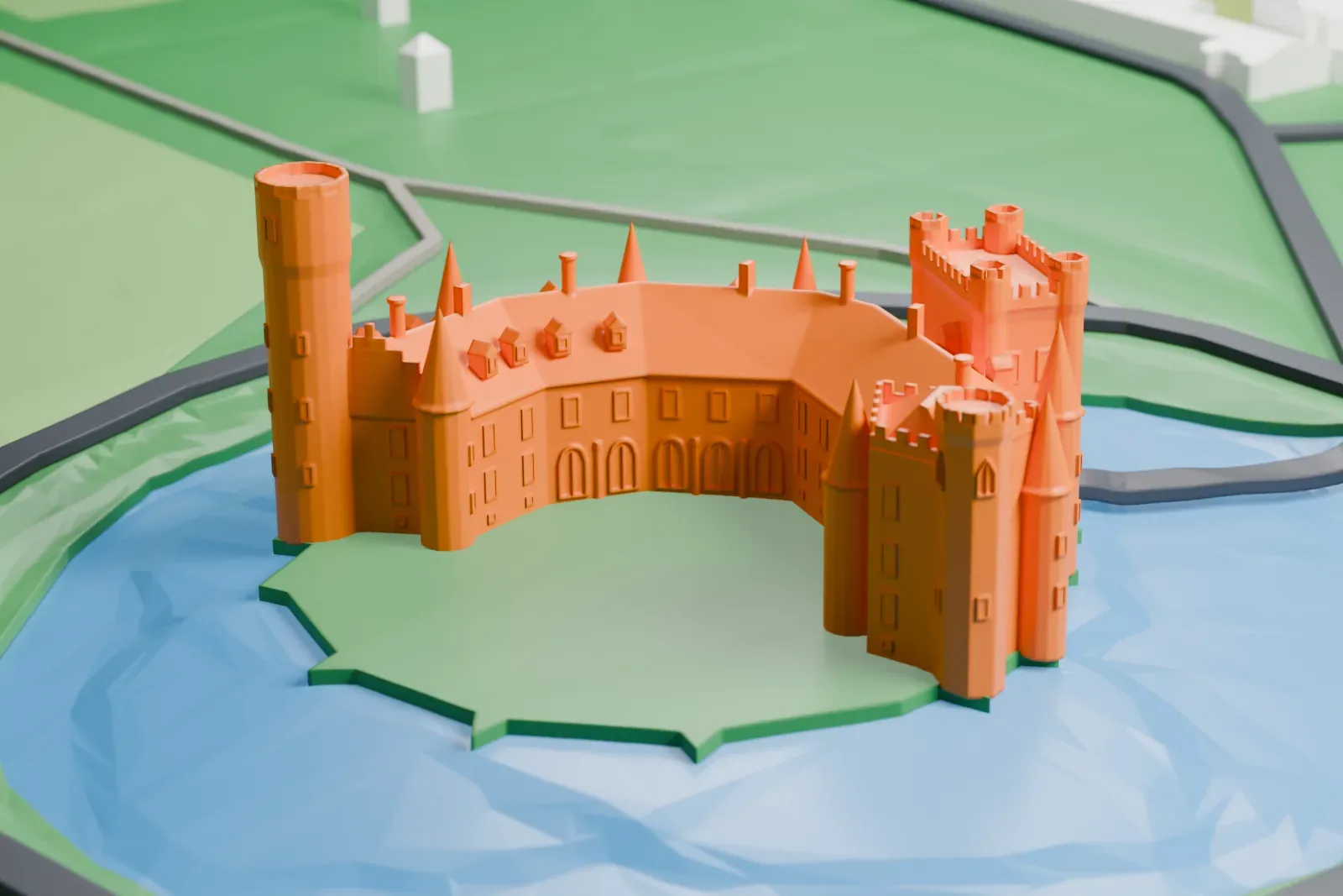
A free, printable model of Wijnendale Castle, with its cone-roofed turrets, gatehouse and tall round tower on an island in a moat, surrounded by fields, generated from real map data in your browser.
-
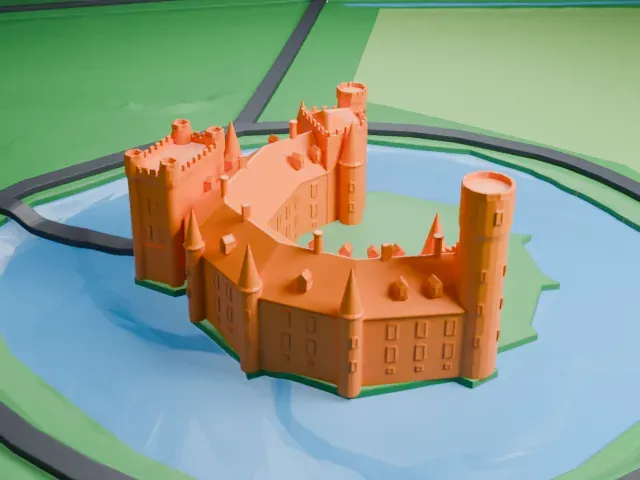 North
-
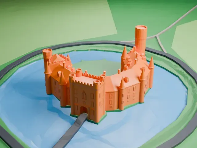 East
-
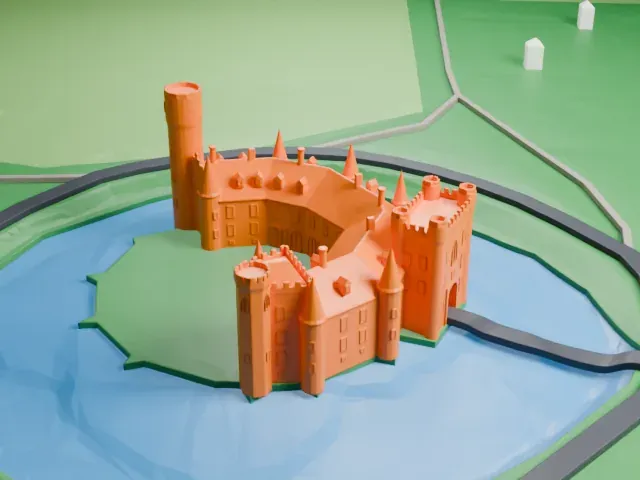 South
-
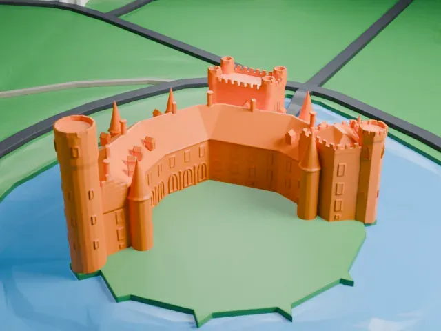 West
The model you print
Wijnendale Castle in 3D
The landmark on its own, at its size on a 160 mm print. Print friendly thickens thin parts for a 0.4 mm nozzle; Full detail keeps every part.
- On a 160 mm print
- 8 mm
- Scale
- 1:3,750
8 mm tall on a 160 mm print
Make this print opens the generator on a 600 m square around the landmark. Buildings print at close to true scale, so the landmark grows with the print size.
- Cone roofs and battlements
Slim cone-roofed turrets and small battlements ring the castle, and one round tower stands tall. Print friendly adapts these thin parts to the print scale; Full detail suits a larger print. Print slowly for the tall tower.
- One piece with the ground
Wijnendale Castle is joined to the ground in the exported file, and the four-side check found no floating parts, so nothing needs gluing.
- Pick the detail for your nozzle
In the Buildings settings, set Landmark detail to Print friendly to adapt thin parts and small details to the print scale. Full detail keeps every modeled feature, for larger prints or a finer nozzle.
- Colors
Buildings, roads, water and ground arrive as separate filament slots in the 3MF. Wijnendale Castle takes the building color.
- File format
You get a 3MF for Bambu Studio, OrcaSlicer or PrusaSlicer. Any of them can save it as STL if you need one.
About Wijnendale Castle
Wijnendale Castle is a historic residence in Wijnendale, in West Flanders, Belgium, that was once a medieval castle. Most of the existing buildings come from a nineteenth-century restoration, with some parts of the north wing going back to the fifteenth century. Robert I, Count of Flanders, built the first castle at the close of the 11th century, using it as a base for military operations.
Guy of Dampierre signed a treaty with King Edward I of England here in 1297. The castle was besieged and damaged twice, in 1302 and in 1325, and in 1482 Mary of Burgundy died here after a fall from her horse. French troops blew up part of it in 1690, and Duke Johann Wilhelm had it rebuilt in 1699 and 1700. In 1811 French troops did so much damage that only ruins were left.
In 1833 Josse-Pierre Matthieu, a member of the Matthieu banking family of Brussels, bought the domain, and between 1837 and 1852 he had the castle rebuilt. His son Jules Joseph Louis Matthieu altered it in 1877, giving it its romanticized, medieval look. On May 25, 1940, just before the Battle of Dunkirk, King Leopold III of Belgium met four cabinet ministers here for the last time.
About this model
Wijnendale Castle is one of more than 6,500 landmark models in Mini Skyline. They are made with AI, and each one is checked in its real surroundings before release. Each model is written as code from public descriptions, plans, photographs and aerial views used only as references; no image or third-party model is copied into it. Everything around it is built from OpenStreetMap and Overture map data. Rights in the building itself, its name and any brands on it are not granted by Mini Skyline; clear them separately before you sell prints. If you would rather print the shape from map data, turn off Landmark models in the Buildings settings.
Mini Skyline is not affiliated with, or endorsed by, the owners of this building or its names and marks.
Keep exploring