3D print Discovery Rupes on Mercury
A cliff made by a shrinking planet, on one print: Discovery Rupes running across cratered ground and cutting through Rameau crater, from elevation data measured by NASA's MESSENGER spacecraft.
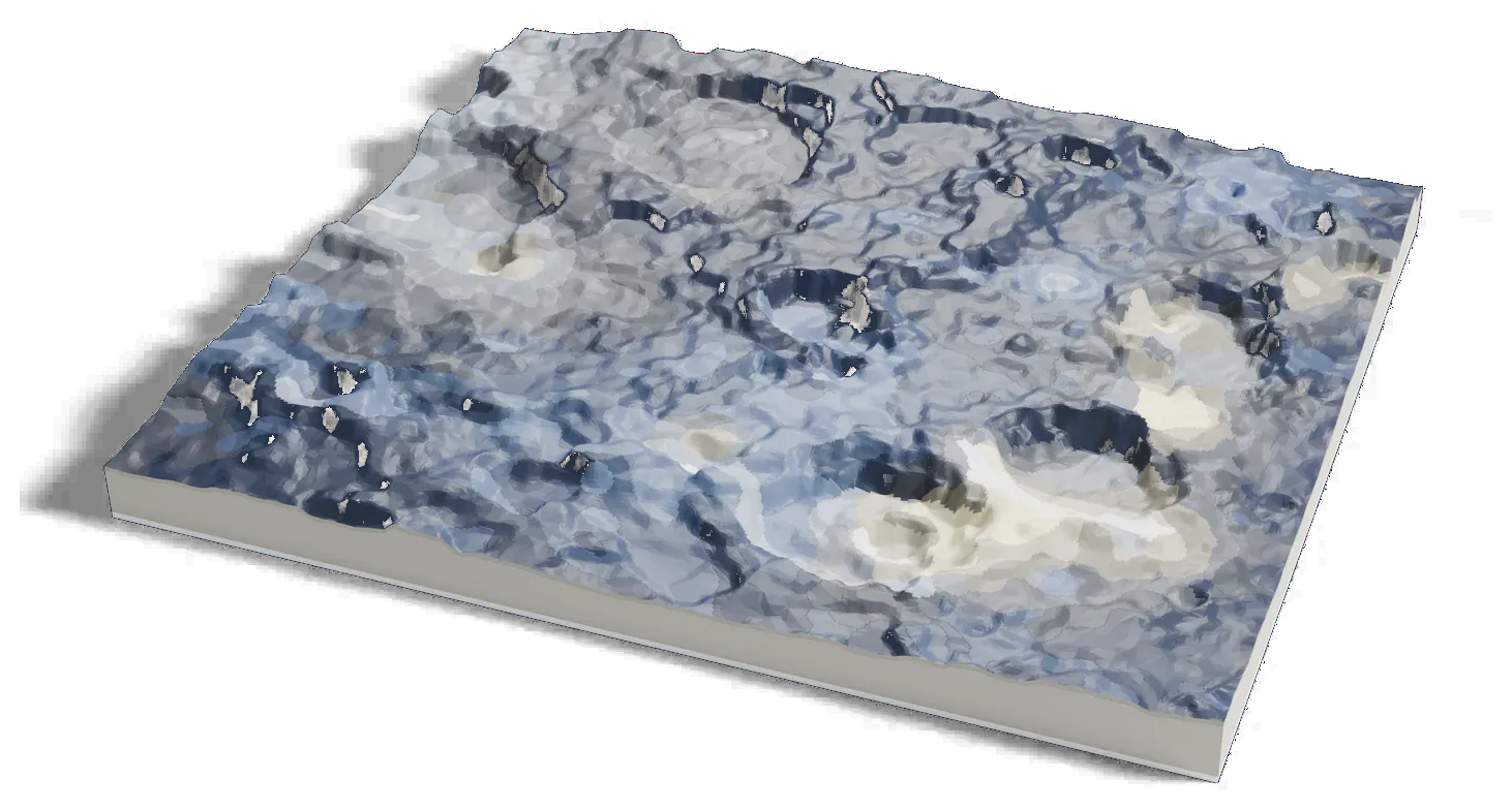
Mercury terrain: USGS Astrogeology; NASA MESSENGER. Surface imagery: MESSENGER MDIS mosaic, NASA/JHU APL/Carnegie Institution of Washington.
Where it is 54.70°S 322.76°E Mercury
- Length
- Almost 500 km (310 mi)
- Height
- Up to about 1 km (3,300 ft)
- Type
- A cliff made by squeezing of the crust
- Named for
- Cook's ship Discovery
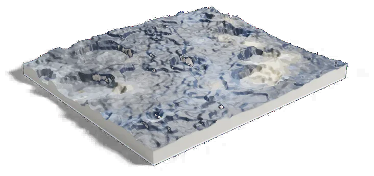
Mercury terrain: USGS Astrogeology; NASA MESSENGER. Surface imagery: MESSENGER MDIS mosaic, NASA/JHU APL/Carnegie Institution of Washington.
570 by 500 km of Mercury, 160 mm across
About Discovery Rupes
Discovery Rupes is a long cliff in Mercury's southern hemisphere, found in images from NASA's Mariner 10 in the 1970s. NASA's Mariner 10 atlas gives it as almost 500 km (310 mi) long with up to 1 km (3,300 ft) of height across it.
It is thought to have formed by large-scale squeezing of the crust as Mercury cooled and shrank. It cuts through Rameau, a crater about 50 to 58 km (31 to 36 mi) across, by source. It is named for the Discovery, a ship on James Cook's last voyage to the Pacific (1776-80).
Sources: IAU Gazetteer of Planetary Nomenclature: Discovery Rupes, IAU Gazetteer of Planetary Nomenclature: Rameau, NASA NSSDCA: Mariner 10 view of Discovery Rupes
Elsewhere on Mercury
All worlds
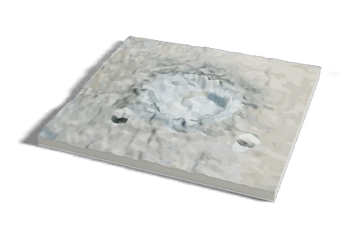
Mercury terrain: USGS Astrogeology; NASA MESSENGER. Surface imagery: MESSENGER MDIS mosaic, NASA/JHU APL/Carnegie Institution of Washington.