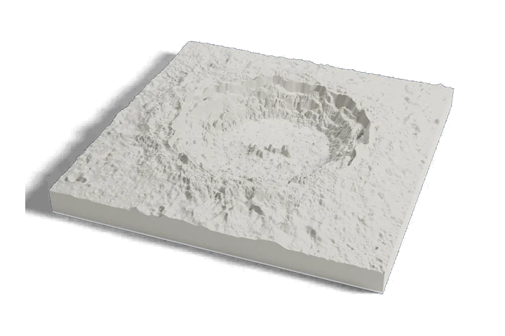
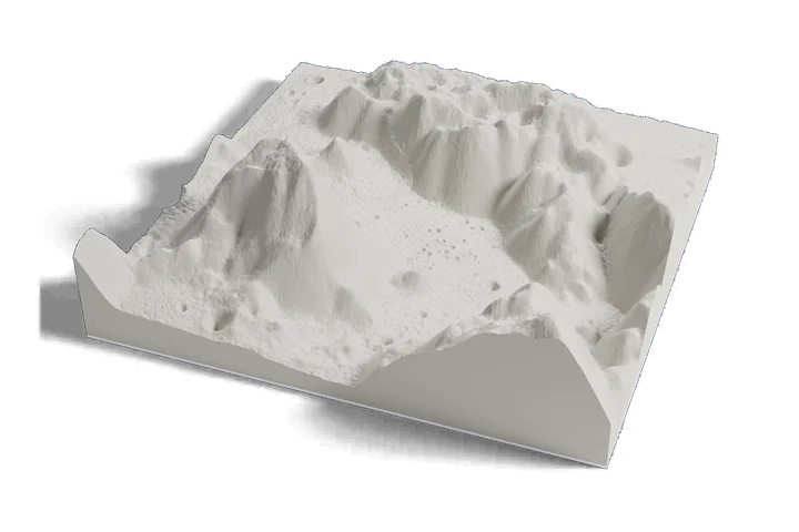
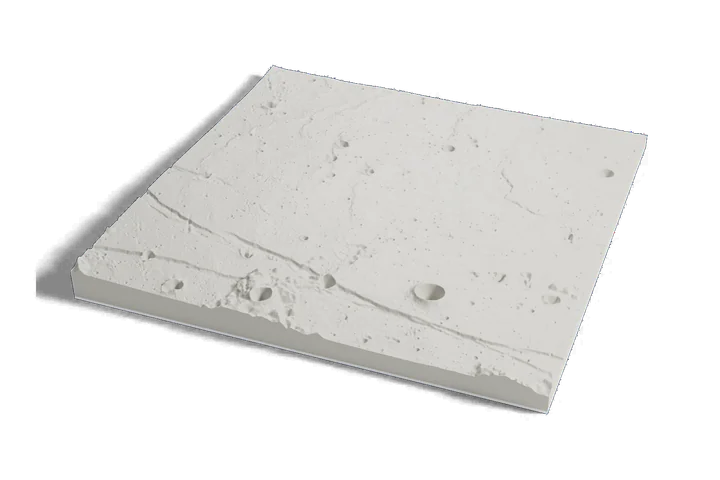
3D print the Apollo 15 landing site at Hadley Rille
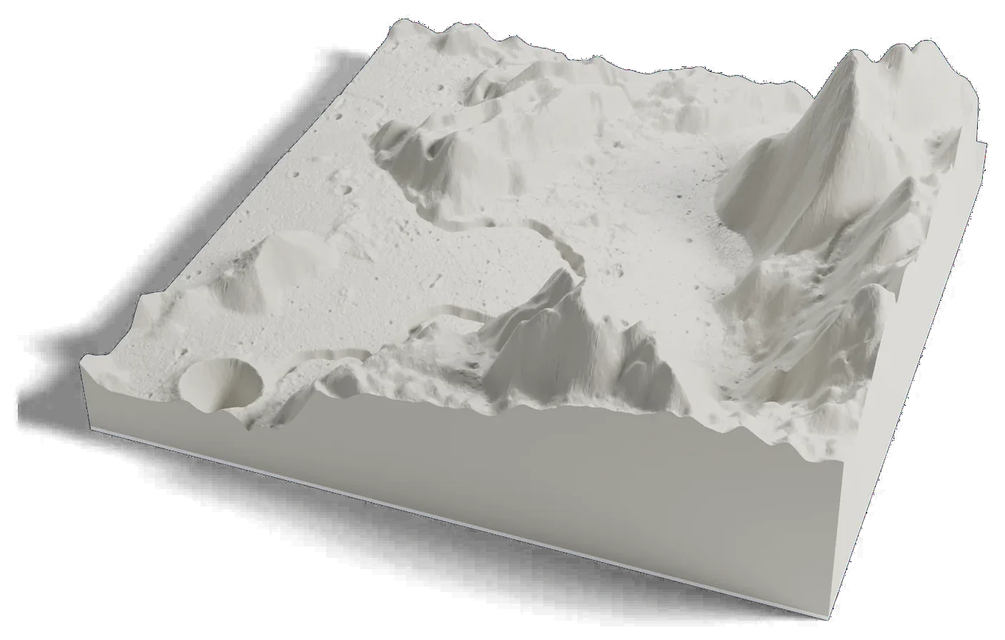
The first lunar rover mission's landing site on one print: the winding Hadley Rille, Mons Hadley and Hadley Delta, from elevation data measured by lunar orbiters.
Where it is 26.13°N 3.63°E The Moon · near side
- Landing
- July 30, 1971
- Crew
- David Scott, James Irwin, Alfred Worden
- Rover drives
- About 28 km (17 mi) in three drives
- Samples
- 77 kg (170 lb)
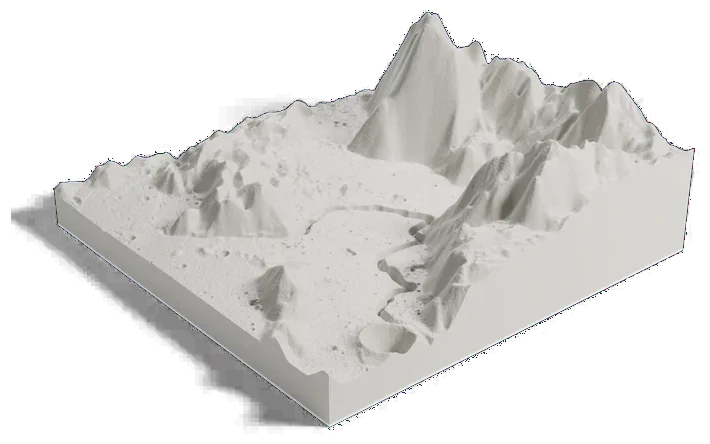
55 by 55 km of the Moon, 160 mm across
About Hadley Rille
Apollo 15 landed at Hadley-Apennine on July 30, 1971, about 2 km from Hadley Rille at the foot of the Apennine Mountains. David Scott and James Irwin spent 18 hours 35 minutes outside on three moonwalks and drove the first Lunar Roving Vehicle about 28 km (17 mi), while Alfred Worden orbited overhead.
Hadley Rille is a winding valley 116 km (72 mi) long, about 1 km wide and 200 m (650 ft) deep. Mons Hadley rises about 4 km (13,000 ft) above the plain and Hadley Delta about 3.5 km (11,500 ft). The mountain is named for John Hadley, the British instrument maker, and the rille for the mountain.
Sources: IAU Gazetteer of Planetary Nomenclature: Rima Hadley, IAU Gazetteer of Planetary Nomenclature: Mons Hadley, NASA NSSDC: Apollo 15 lunar module, NASA: Apollo 15, LROC: Apollo 15 landing site, LROC: Hadley Rille, LROC: Hadley Delta