3D print the Apollo 16 landing site in the Descartes Highlands
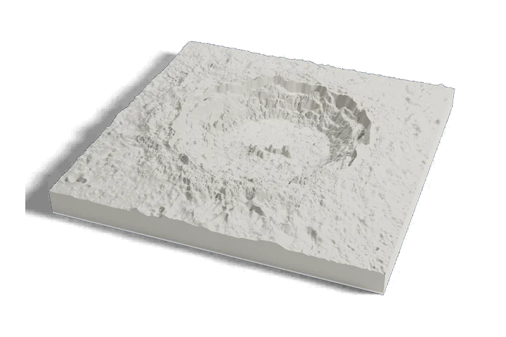
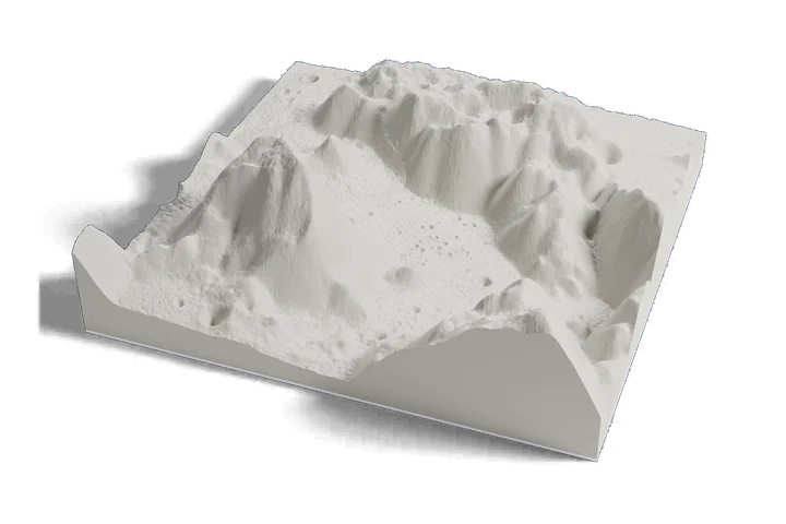
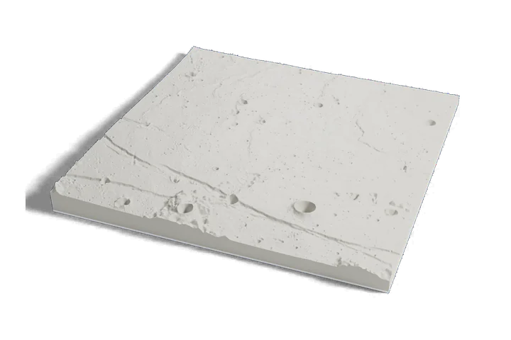
The highlands Apollo 16 explored by rover, on one print: the plains of the landing site, the hills around them and North Ray crater, from elevation data measured by lunar orbiters.
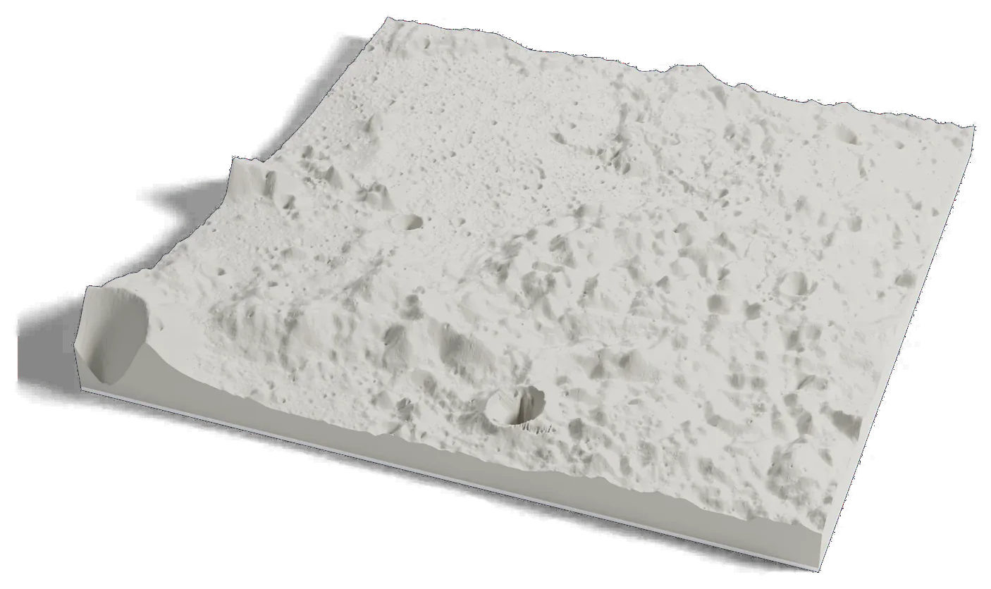
Where it is 8.97°S 15.50°E The Moon · near side
- Landing
- April 21, 1972
- Crew
- John Young, Charles Duke, Ken Mattingly
- Rover drives
- About 27 km (17 mi)
- Samples
- 96 kg (211 lb)
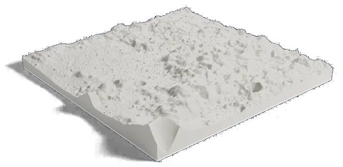
70 by 70 km of the Moon, 160 mm across
About Apollo 16 landing site
Apollo 16 landed in the Descartes Highlands on April 21, 1972. John Young and Charles Duke spent about 20 hours outside on three moonwalks and drove the Lunar Roving Vehicle about 27 km (17 mi), while Ken Mattingly orbited overhead.
They collected 96 kg (211 lb) of rock and soil from 11 stations, and their last moonwalk took them to North Ray crater, about 1 km (0.6 mi) across. The region is named for Descartes crater, which honors the French philosopher and mathematician René Descartes.
Sources: NASA NSSDC: Apollo landing sites, NASA NSSDC: Apollo 16, NASA NSSDC: Apollo 16 lunar module, IAU Gazetteer of Planetary Nomenclature: North Ray, IAU Gazetteer of Planetary Nomenclature: Descartes