3D print Mare Orientale, the Moon's bullseye basin
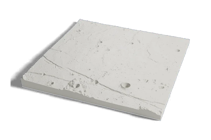
A whole impact basin on one print: the dark central sea and the rings of mountains around it, about 930 km (580 mi) across, from elevation data measured by lunar orbiters.
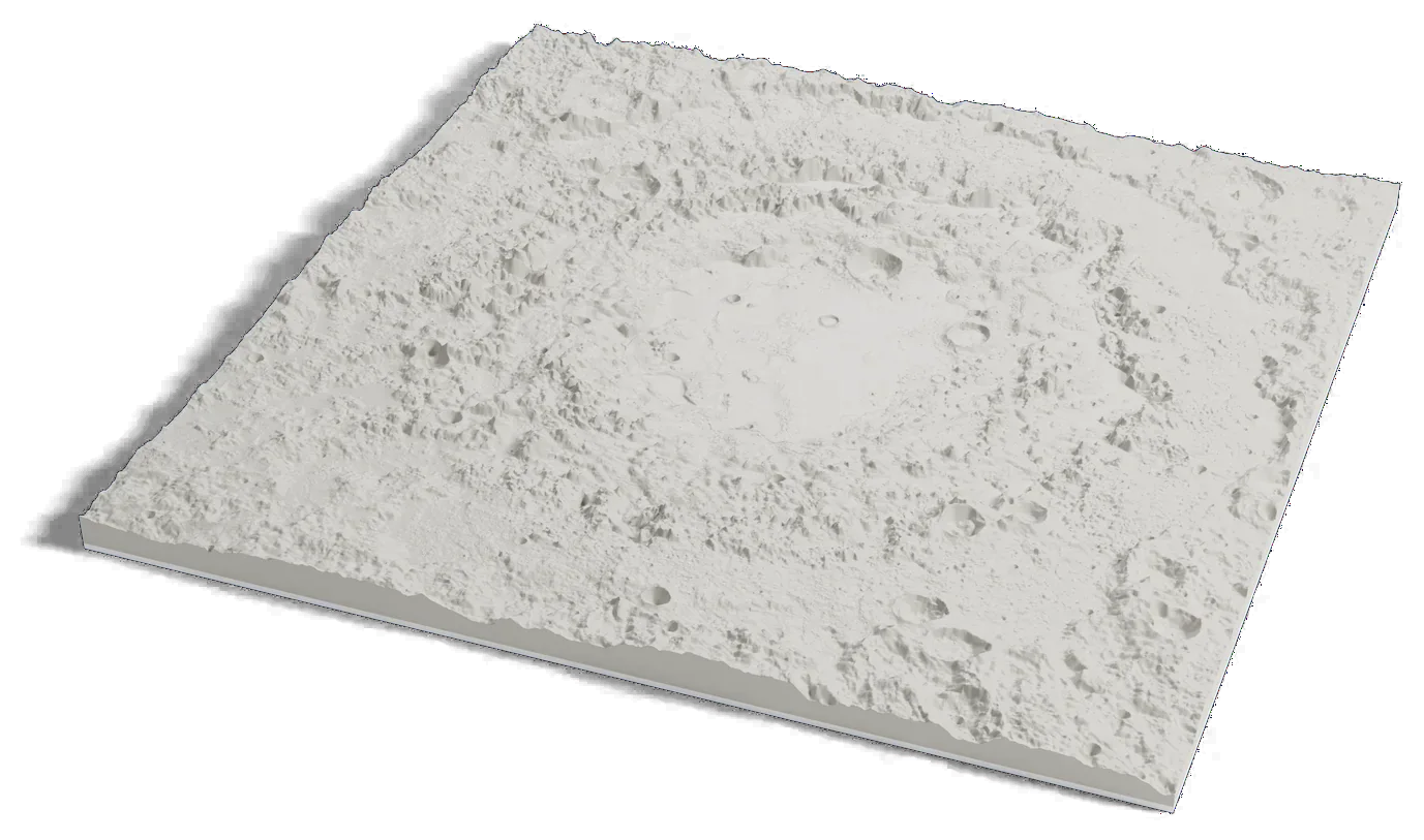
Moon terrain: USGS Astrogeology; NASA LRO LOLA; JAXA SELENE/Kaguya. Surface imagery: LRO LROC WAC mosaic, NASA/GSFC/Arizona State University.
Where it is 19.87°S 94.67°W The Moon · far side
- Basin width
- About 930 km (580 mi), outer ring
- Rings
- Three, with the Montes Cordillera outermost
- Rock dug out
- At least 3.4 million cubic km
- Name
- Latin for "eastern sea"
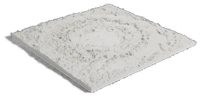
Moon terrain: USGS Astrogeology; NASA LRO LOLA; JAXA SELENE/Kaguya. Surface imagery: LRO LROC WAC mosaic, NASA/GSFC/Arizona State University.
999 by 989 km of the Moon, 160 mm across
About Mare Orientale
Mare Orientale is the dark lava plain at the center of a giant impact basin on the Moon. NASA's GRAIL mission describes the basin as about 930 km (580 mi) wide with three distinct rings of mountains; the outermost is the Montes Cordillera and the next the Montes Rook.
GRAIL's gravity maps showed that none of the rings marks the original crater: the impact dug out at least 3.4 million cubic km of rock, and the crater left just after impact was between the two innermost rings in size. The name is Latin for "eastern sea".
Sources: IAU Gazetteer of Planetary Nomenclature: Mare Orientale, IAU Gazetteer of Planetary Nomenclature: Montes Cordillera, IAU Gazetteer of Planetary Nomenclature: Montes Rook, NASA JPL: GRAIL insights into giant impacts
Elsewhere on the Moon
All worlds-
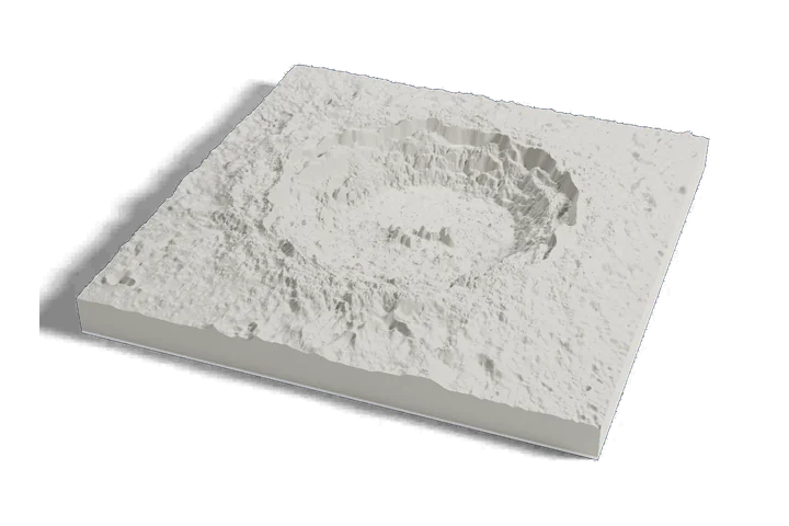 Crater
Copernicus crater
-
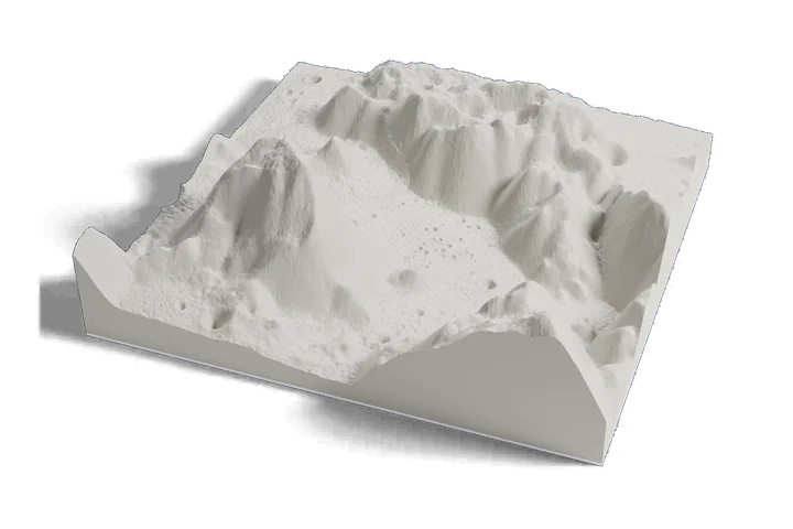 Landing site · Apollo 17, 1972
Taurus-Littrow valley
-
 Landing site · Apollo 11, 1969
Tranquility Base
Moon terrain: USGS Astrogeology; NASA LRO LOLA; JAXA SELENE/Kaguya. Surface imagery: LRO LROC WAC mosaic, NASA/GSFC/Arizona State University.