3D print the Apennine Mountains on the Moon
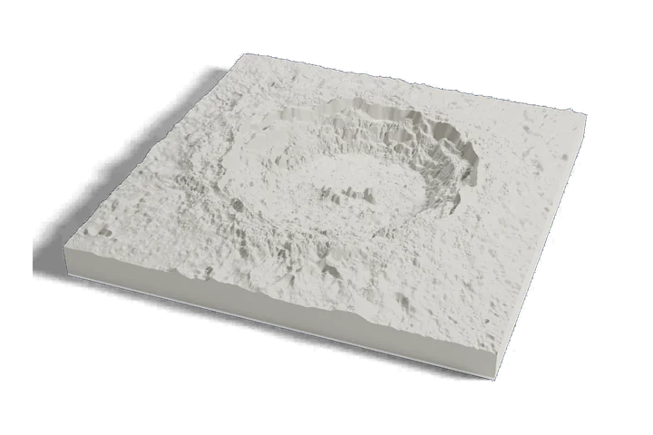
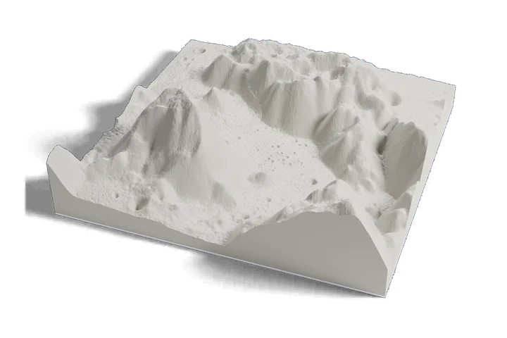
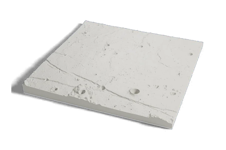
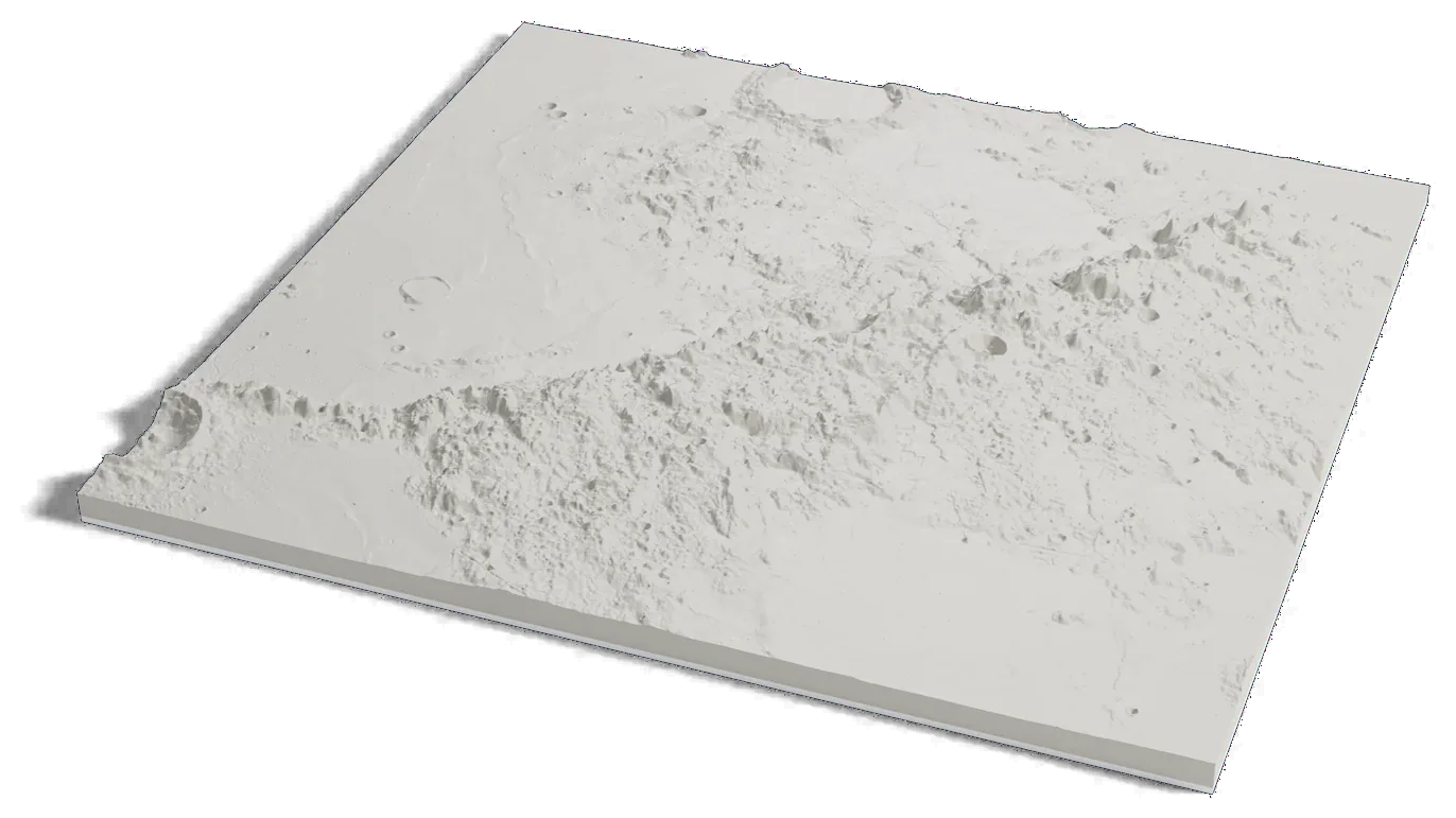
A 600 km mountain range on one print: the Apennines, the southeastern rim of the Imbrium basin, with Mons Hadley and the Apollo 15 site at their foot, from elevation data measured by lunar orbiters.
Where it is 19.87°N 0.03°E The Moon · near side
- Length
- About 600 km (370 mi)
- Highest peaks
- About 4 km (13,000 ft) above the plains
- Part of
- The rim of the Imbrium basin
- Named for
- The Apennine Mountains of Italy
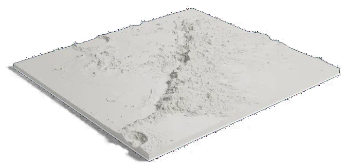
592 by 546 km of the Moon, 160 mm across
About Montes Apenninus
Montes Apenninus is a mountain range about 600 km (370 mi) long on the Moon's near side. It marks the southeastern rim of the Imbrium basin, one of the Moon's large impact basins, and its peaks rise as high as about 4 km (13,000 ft) above the plains.
Apollo 15 landed at the foot of the range on July 30, 1971, beside Hadley Rille, and flew a steeper descent than earlier missions to clear the mountains. Rocks the crew brought back are about 3.85 billion years old, the same age as the Imbrium basin. The range is named for the Apennine Mountains of Italy.
Sources: IAU Gazetteer of Planetary Nomenclature: Montes Apenninus, NASA JSC: Apollo 15 mission and samples, LROC: Hadley Delta, NASA: 50 years ago, Apollo 15 at Hadley-Apennine