3D print Carrow Road
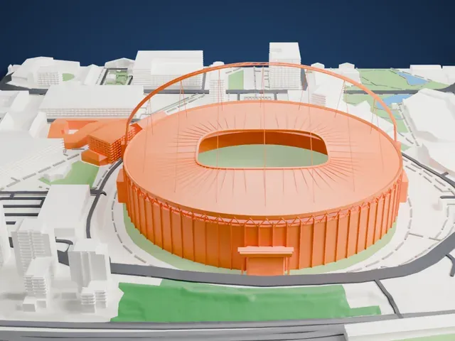
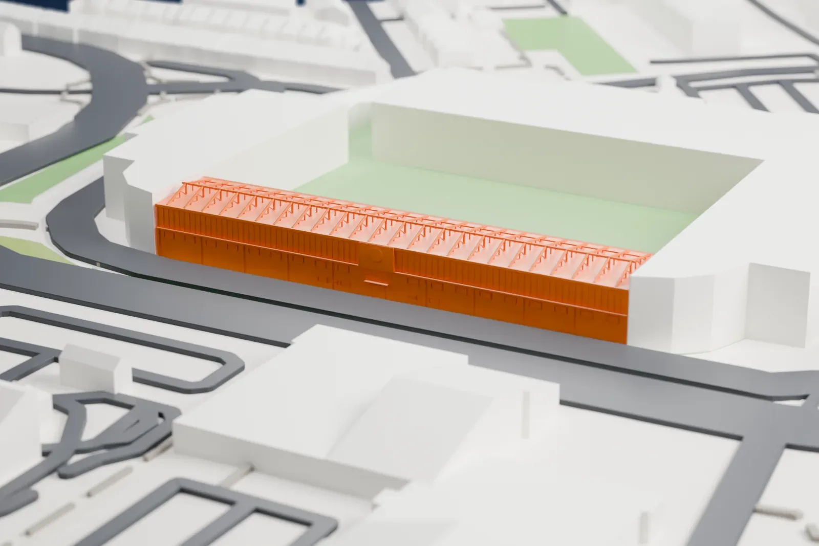
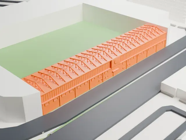
A free, printable model of the City Stand at Carrow Road, a long single-tier stand with a flat roof and rooftop steel trusses, among surrounding buildings, generated from real map data in your browser.
-
 North
-
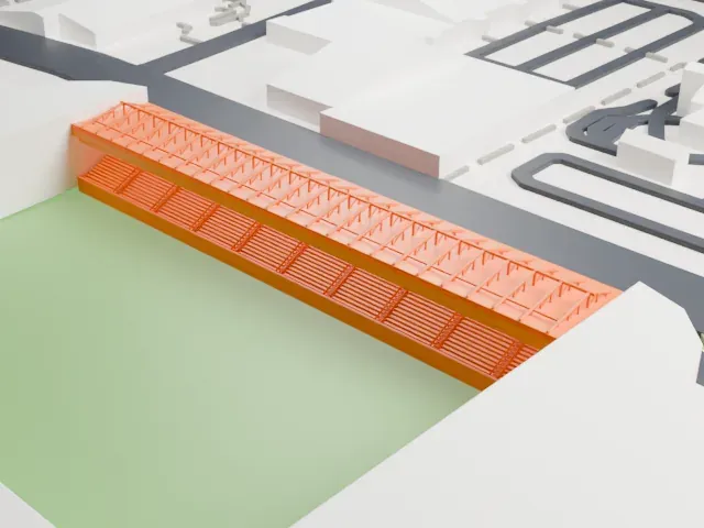 East
-
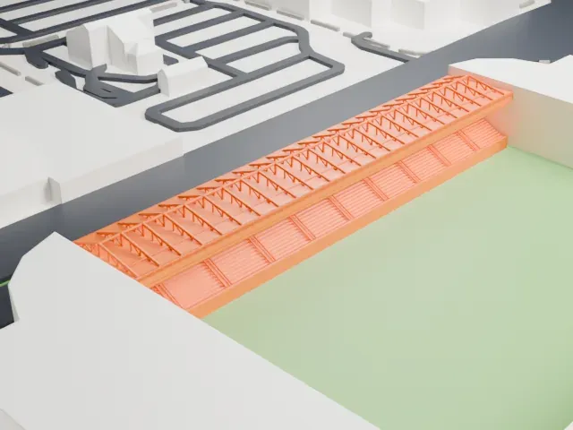 South
-
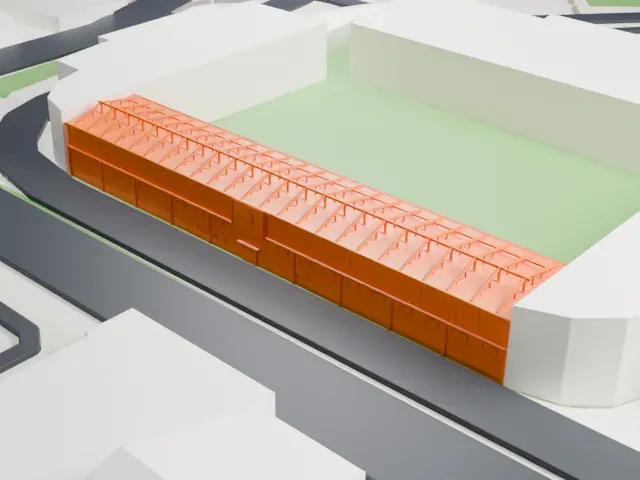 West
- On a 160 mm print
- 5 mm
- Scale
- 1:3,750
5 mm tall on a 160 mm print
Make this print opens the generator on a 600 m square around the landmark. Buildings print at close to true scale, so the landmark grows with the print size.
- Rooftop steel frames
Thin trusses stand on top of the roof sheet and give the stand its jagged profile. A taller print and a 0.12–0.16 mm layer height keep them crisp; Print friendly adapts them to the print scale.
- Boxes and rear windows
A row of glazed executive boxes runs along the back of the tier, with large windows in the brick wall behind. Full detail keeps the mullions and openings readable.
- One piece with the ground
Carrow Road is joined to the ground in the exported file, and the four-side check found no floating parts, so nothing needs gluing.
- Pick the detail for your nozzle
In the Buildings settings, set Landmark detail to Print friendly to adapt thin parts and small details to the print scale. Full detail keeps every modeled feature, for larger prints or a finer nozzle.
- Colors
Buildings, roads, water and ground arrive as separate filament slots in the 3MF. Carrow Road takes the building color.
- File format
You get a 3MF for Bambu Studio, OrcaSlicer or PrusaSlicer. Any of them can save it as STL if you need one.
About Carrow Road
Carrow Road is a football ground in Norwich, Norfolk, England, and the home of Norwich City. Its name comes from the street that encloses the site on three sides, with the River Wensum as the fourth boundary; that street in turn recalls Carrow Abbey, which once stood beside the river. The club had played at Newmarket Road and then at The Nest, a converted disused chalk pit, before the new ground was purpose-built.
The club issued tenders the day it bought the site, work started ten days later, and the ground opened on August 31, 1935, after 82 days of building, with West Ham United the visitors for a Second Division fixture. Its first capacity was 35,000, of which 5,000 seats were under cover, and Norwich won that opening game 4–3 before 29,779 people, a club record for a home match.
The ground has been altered and rebuilt in stages: a fire in 1984 damaged the old City Stand, which was demolished and replaced by 1987 with a new City Stand. After the Taylor Report came the conversion of the ground to all-seater seating, and it stayed that way from 1992 to 2024. In the standing days a crowd of 43,984 watched an FA Cup tie against Leicester City in 1963; the record since the ground became all-seater is 27,137, set at a Premier League game against Newcastle United on April 2, 2016. Under-21 international matches and concerts by Elton John and George Michael have also been staged there.
About this model
Carrow Road is one of more than 4,300 landmark models in Mini Skyline. They are made with AI, and each one is checked from four sides in its real surroundings before release. Everything around it is built from OpenStreetMap and Overture map data. If you would rather print the shape from map data, turn off Landmark models in the Buildings settings.
Keep exploring