Venus to model
Turn Venus topography into a printable terrain model
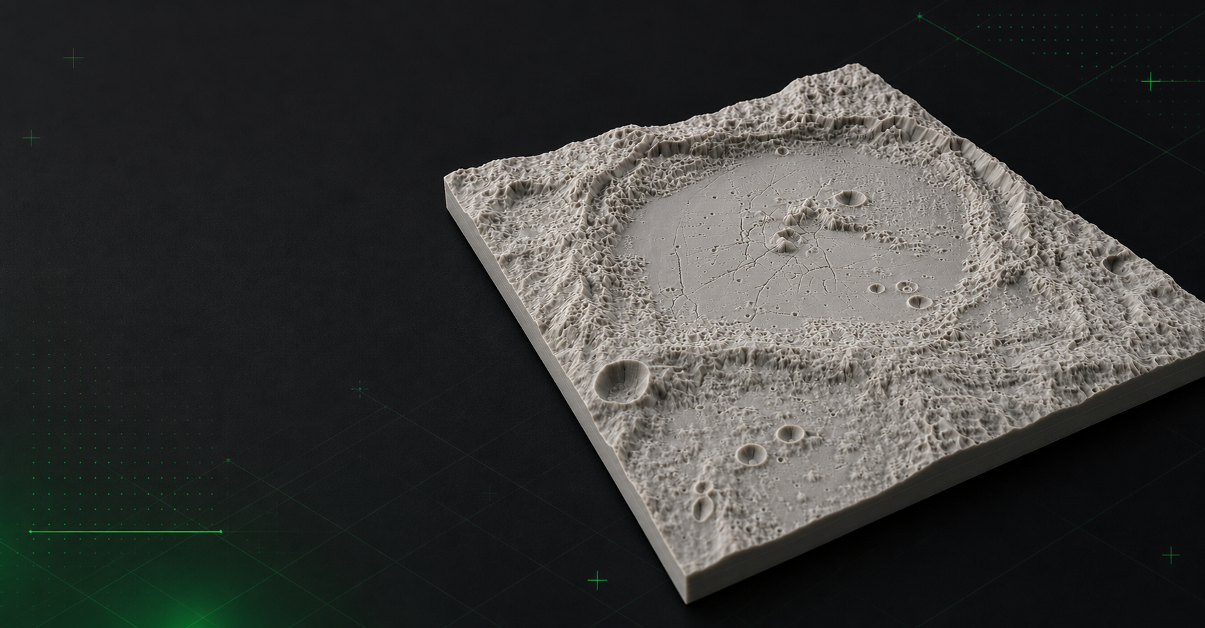
Mini Skyline includes a Venus terrain workflow for Magellan-based topography. Because Venus depends on a dedicated DEM setup, this page focuses on the printable model process and the data requirement.
- Use Magellan-derived topography as the terrain source for Venus relief prints.
- Generate terrain-only planetary models without Earth roads or buildings.
- Export STL, 3MF, or OBJ after the required Venus DEM is configured.
Venus requires the right elevation source
Venus terrain generation depends on a Magellan-based DEM, so Mini Skyline treats it as a data-driven terrain workflow rather than a default public selector preset.
Best fit for terrain-focused prints
Venus output is most useful for large-scale relief, tesserae, volcanic provinces, and other topography-driven prints where the form of the terrain matters more than mapped surface features.
Common questions
Can Mini Skyline generate Venus terrain models?
Yes, with the required Venus topography data configured. The workflow is terrain-only and can export STL, 3MF, or OBJ once the DEM is available.
Why is Venus not a default public map selector?
The public app keeps Venus behind its required terrain data setup, so this page documents the workflow without implying a one-click hosted preset.