3D city generator
Generate a real 3D city from map data
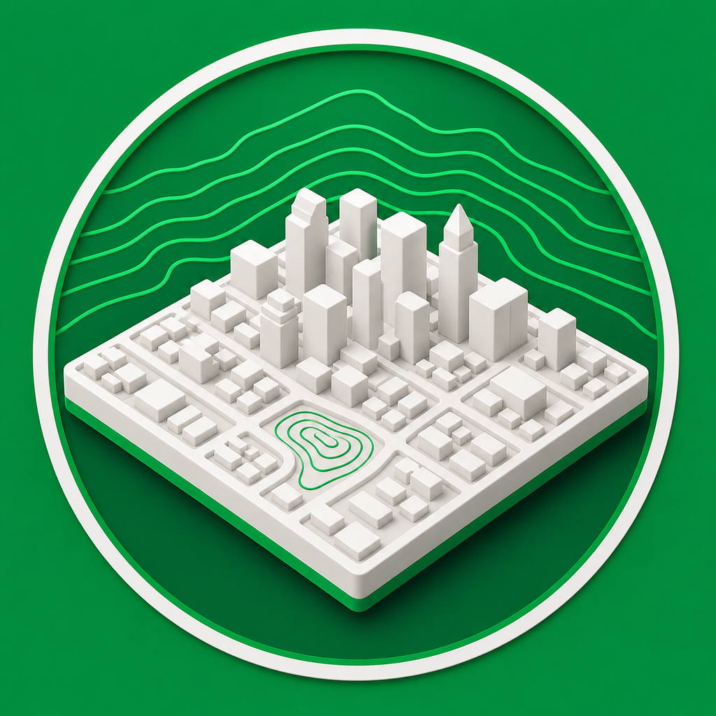
Mini Skyline is a 3D city generator built for makers: choose a real place, turn its map data into a printable miniature, and export files for your slicer.
- Build city models from real OpenStreetMap features instead of fictional layouts.
- Preview terrain, buildings, roads, parks, and water before downloading files.
- Export printable STL, 3MF, or OBJ models for single-color or multicolor workflows.
For printable city miniatures
The generator focuses on watertight relief models that can be sliced and printed, not just viewed as a digital scene.
Map data in, model files out
Pick a city area, tune the physical model size and height settings, then export a mesh that represents the selected streets, buildings, terrain, and water.
Common questions
Does this generate real cities or imaginary city layouts?
Mini Skyline uses real map and elevation data for the selected place, so the exported model is based on actual streets, terrain, buildings, water, and parks where that source data exists.
Can I use the generated city model for 3D printing?
Yes. The city generator is built around printable relief models and exports STL, 3MF, or OBJ files for common slicers.