3D map STL maker
Make an STL from a 3D map selection
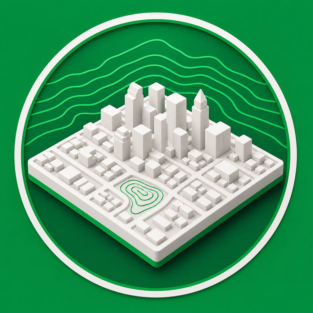
Mini Skyline lets you select a real map area, preview it as a printable 3D model, and export an STL mesh for your slicer.
- Choose a map footprint and convert it into a printable 3D relief model.
- Include terrain, roads, water, parks, and buildings where map data is available.
- Export STL for simple printing, or choose 3MF/OBJ when you need colors or materials.
Built for STL workflows
Use STL when you want a straightforward single-mesh export for common slicers, printers, and sharing workflows.
More than a heightmap
City models can include raised buildings and semantic map features, so the result reads like a recognizable place instead of only terrain.
Common questions
Is this a 3D map STL maker or only a terrain heightmap tool?
Mini Skyline can create terrain relief, but city mode also adds mapped features such as buildings, roads, water, parks, paths, and railways.
Can I print the STL on a normal 3D printer?
Yes. The STL export is intended for common slicers and printers; model size, terrain relief, and building height settings can be tuned before export.