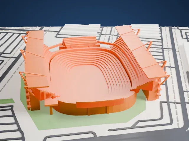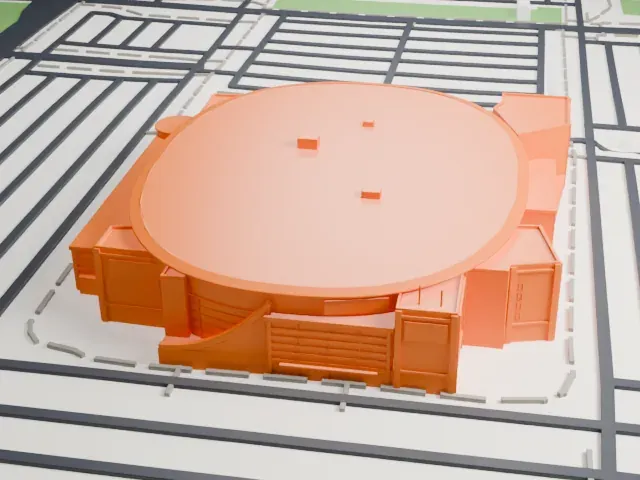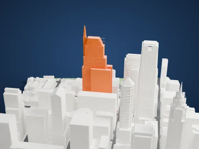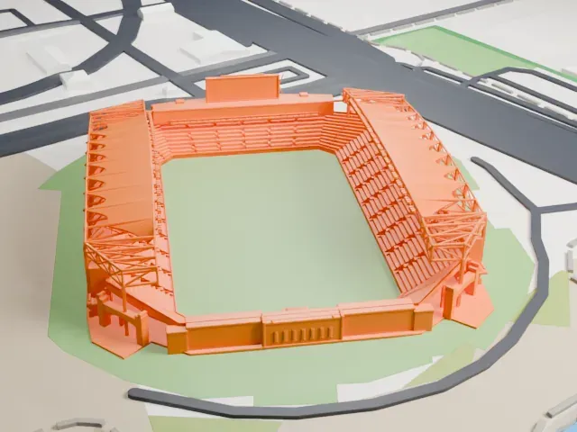
3D print 30th Street Station
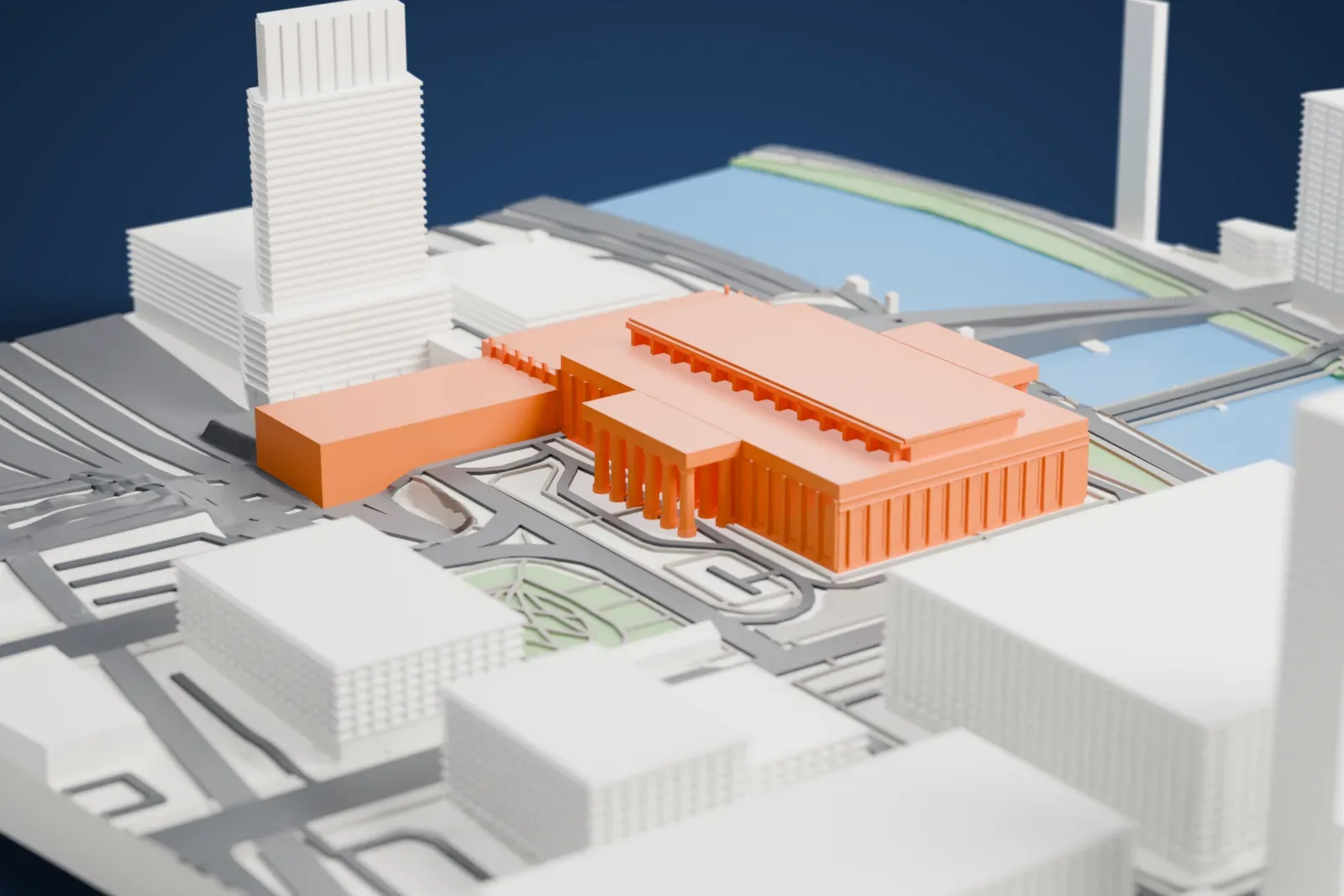
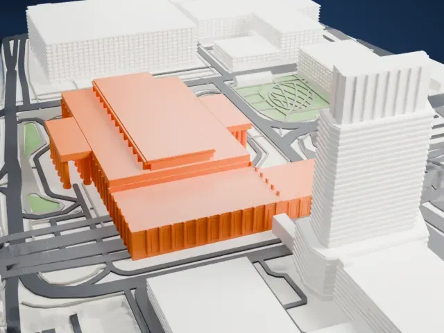
A free, printable model of 30th Street Station, a large columned building beside rail lines and the river, with the surrounding streets and buildings, generated from real map data in your browser.
-
 North
-
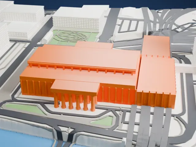 East
-
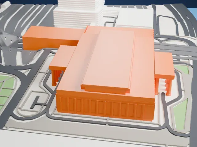 South
-
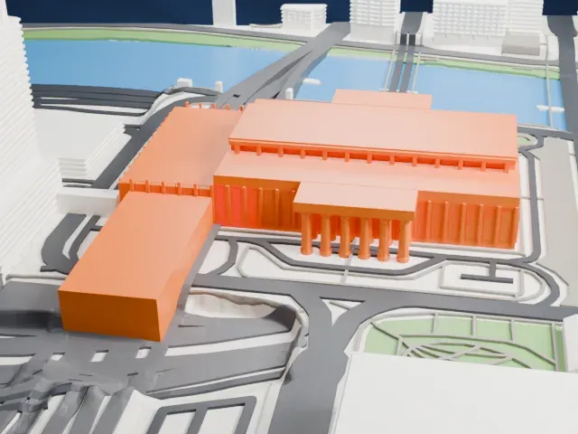 West
The model you print
30th Street Station in 3D
The landmark on its own, at its size on a 160 mm print. Print friendly thickens thin parts for a 0.4 mm nozzle; Full detail keeps every part.
- On a 160 mm print
- 11 mm
- Scale
- 1:3,750
11 mm tall on a 160 mm print
Make this print opens the generator on a 600 m square around the landmark. Buildings print at close to true scale, so the landmark grows with the print size.
- Columns on the porticos
The side porticos stand on rows of tall, slim columns. Print friendly thickens the thinnest parts for the print scale; Full detail and a larger print size keep each column separate.
- One piece with the ground
30th Street Station is joined to the ground in the exported file, and the four-side check found no floating parts, so nothing needs gluing.
- Pick the detail for your nozzle
In the Buildings settings, set Landmark detail to Print friendly to adapt thin parts and small details to the print scale. Full detail keeps every modeled feature, for larger prints or a finer nozzle.
- Colors
Buildings, roads, water and ground arrive as separate filament slots in the 3MF. 30th Street Station takes the building color.
- File format
You get a 3MF for Bambu Studio, OrcaSlicer or PrusaSlicer. Any of them can save it as STL if you need one.
About 30th Street Station
In Philadelphia, Pennsylvania, 30th Street Station operates as a major intermodal transit station. The official name begins with William H. Gray III. The station opened in 1933 under the name Pennsylvania Station–30th Street. It took over from the railroad's earlier 1881 Broad Street station, becoming its main station in Philadelphia. The 2020 renaming honors William H. Gray III, who earlier served as a U.S. Congressman for Pennsylvania's 2nd congressional district.
Its address is 2955 Market Street, in the University City part of Philadelphia, close to Center City and the Schuylkill River. In the early 1900s the railroad gained tunnel rights from the city in return for land needed for the Benjamin Franklin Parkway, which eventually let it build Suburban Station and retire the inadequate Broad Street station in favor of this one.
Amtrak trains of the Northeast and Keystone lines call here, and every SEPTA Regional Rail line serves it. NJ Transit's Atlantic City Line has its western terminus here. City and suburban buses managed by SEPTA also serve the station. The building is on the National Register of Historic Places.
About this model
30th Street Station is one of more than 6,500 landmark models in Mini Skyline. They are made with AI, and each one is checked in its real surroundings before release. Each model is written as code from public descriptions, plans, photographs and aerial views used only as references; no image or third-party model is copied into it. Everything around it is built from OpenStreetMap and Overture map data. Rights in the building itself, its name and any brands on it are not granted by Mini Skyline; clear them separately before you sell prints. If you would rather print the shape from map data, turn off Landmark models in the Buildings settings.
Outside the United States this design may still be protected; check the rules where you sell.
Mini Skyline is not affiliated with, or endorsed by, the owners of this building or its names and marks.
Same skyline