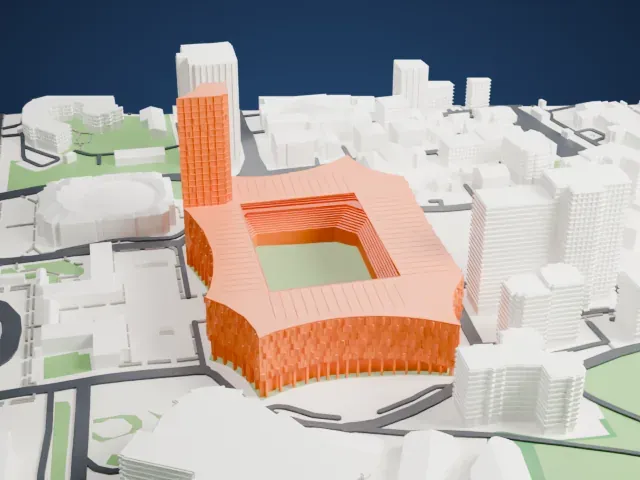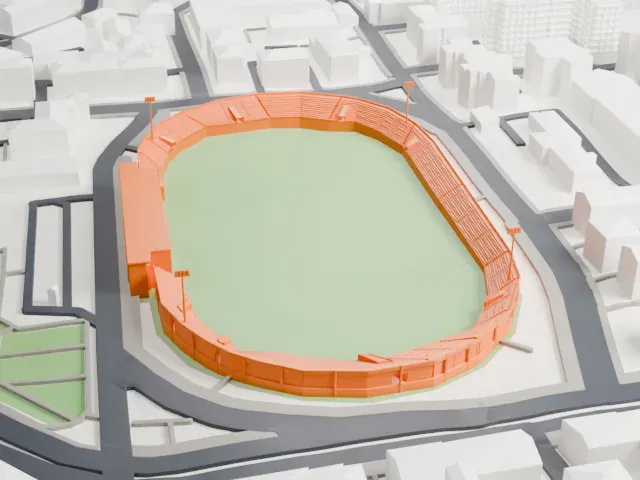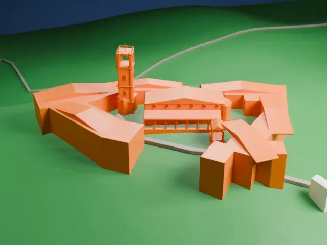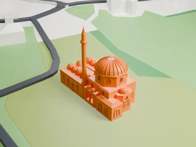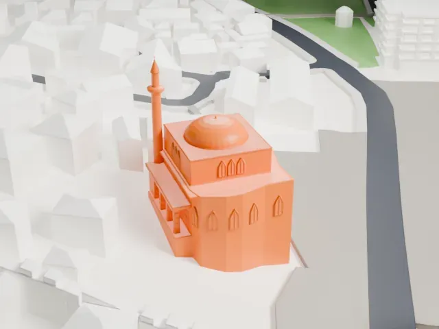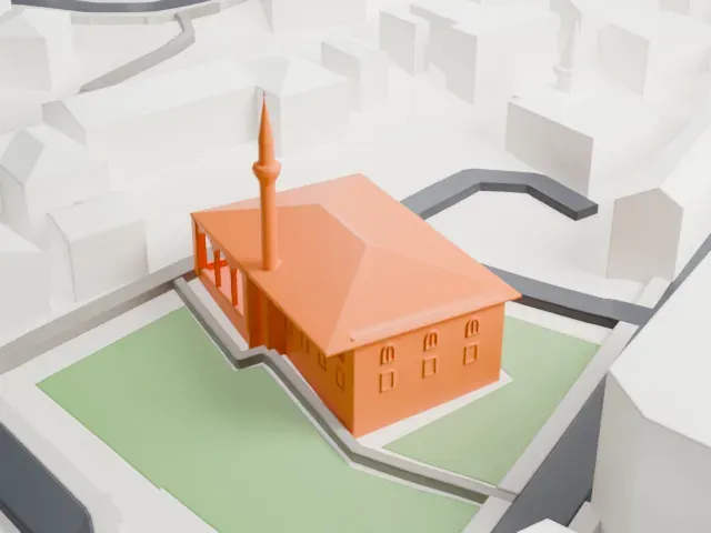
Namazgah Mosque in 3D
The Namazgah Mosque appears in city models you make here; its design may still be protected, so it isn't offered as a separate download.
-
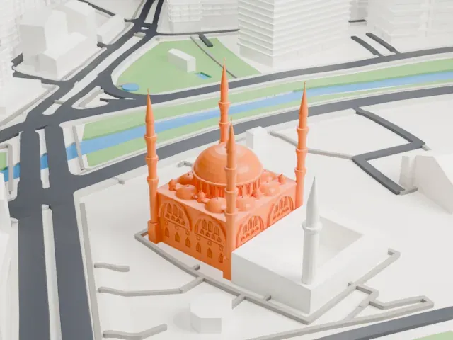 North
-
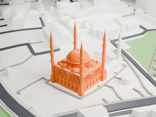 East
-
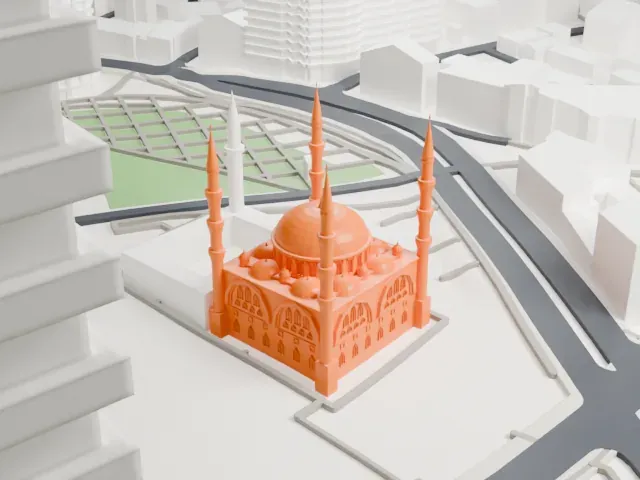 South
-
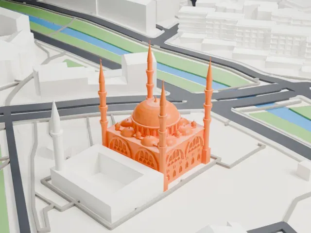 West
Copyright notice
The design of Namazgah Mosque may still be protected by copyright. It appears in the city models you make here, but it is not offered as a separate model.
- Real height
- 50 m
- On a 160 mm print
- 14 mm
- Scale
- 1:3,750
50 m of the Namazgah Mosque, 14 mm on your shelf
Make this print opens the generator on a 600 m square around the landmark. Buildings print at close to true scale, so the landmark grows with the print size.
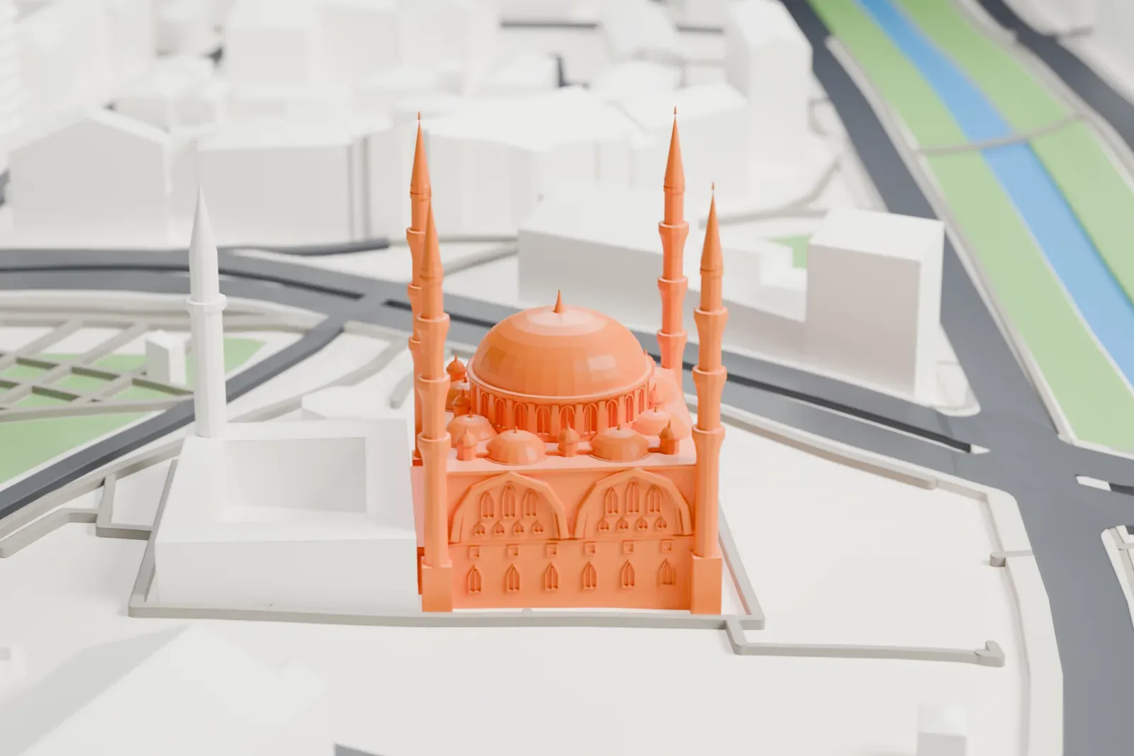
- Four slender minarets
The four minarets are tall and thin with ringed balconies, the most delicate part of the print. Print slowly with good cooling, and choose Print friendly to thicken them, or Full detail for a large print.
- Cluster of small domes
Smaller domes and tiny turrets crowd around the large central dome. A 0.12–0.16 mm layer height keeps their rounded shapes smooth, and a larger print size keeps the smallest turrets.
- One piece with the ground
The Namazgah Mosque is joined to the ground in the exported file, and the four-side check found no floating parts, so nothing needs gluing.
- Pick the detail for your nozzle
In the Buildings settings, set Landmark detail to Print friendly to adapt thin parts and small details to the print scale. Full detail keeps every modeled feature, for larger prints or a finer nozzle.
- Colors
Buildings, roads, water and ground arrive as separate filament slots in the 3MF. The Namazgah Mosque takes the building color.
- File format
You get a 3MF for Bambu Studio, OrcaSlicer or PrusaSlicer. Any of them can save it as STL if you need one.
About the Namazgah Mosque
The Namazgah Mosque, which is also called the Great Mosque of Tirana, is a Sunni mosque in Tirana, Albania. It has a capacity of 10,000 worshippers, which makes it the largest mosque in the Balkans, not counting East Thrace. Of that total, 8,000 people can pray inside and 2,000 outside.
For years the country's Muslims lacked a central mosque and prayed outdoors on the streets, up to 2016. In 1992 President Sali Berisha of that time laid the first stone by Namazgah Square, not far from the parliament of Albania. The decision to build was taken in 2010 by Tirana's mayor, Edi Rama, and construction was launched in 2015 with 30 million euros of financing, partly from the Diyanet of Turkey. The mosque was officially opened on October 10, 2024.
The design drew on Classical Ottoman architecture. Four minarets, 50 m (160 ft) tall each, stand around it, and the central dome rises 30 m (98 ft). The mosque occupies a plot of 10,000 square meters (110,000 sq ft), and a cultural center and other facilities are on its first floor.
About this model
The Namazgah Mosque is one of more than 6,500 landmark models in Mini Skyline. They are made with AI, and each one is checked in its real surroundings before release. Each model is written as code from public descriptions, plans, photographs and aerial views used only as references; no image or third-party model is copied into it. Everything around it is built from OpenStreetMap and Overture map data. Rights in the building itself, its name and any brands on it are not granted by Mini Skyline; clear them separately before you sell prints. If you would rather print the shape from map data, turn off Landmark models in the Buildings settings.
Mini Skyline is not affiliated with, or endorsed by, the owners of this building or its names and marks.
Keep exploring