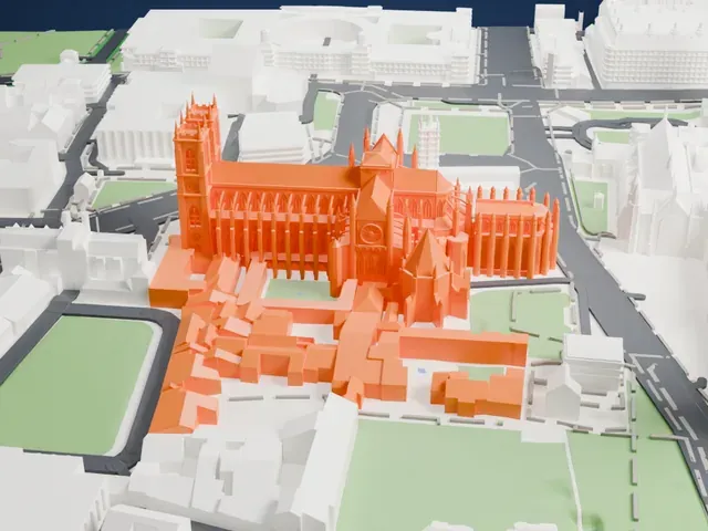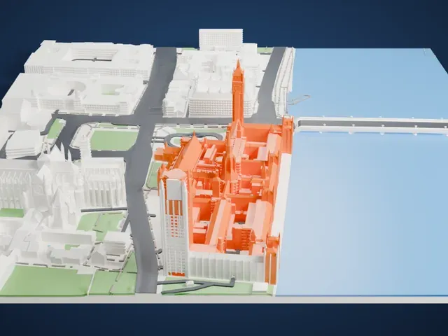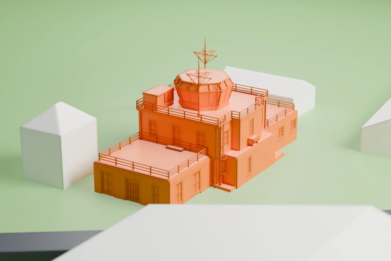
3D print the RAF Upper Heyford control tower
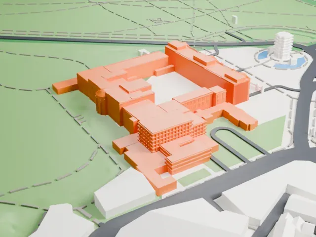
A free, printable model of the RAF Upper Heyford control tower, a two-storey brick tower with an octagonal glazed cab and low flat-roofed wings, among surrounding buildings, generated from real map data in your browser.
-
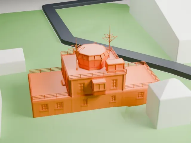 North
-
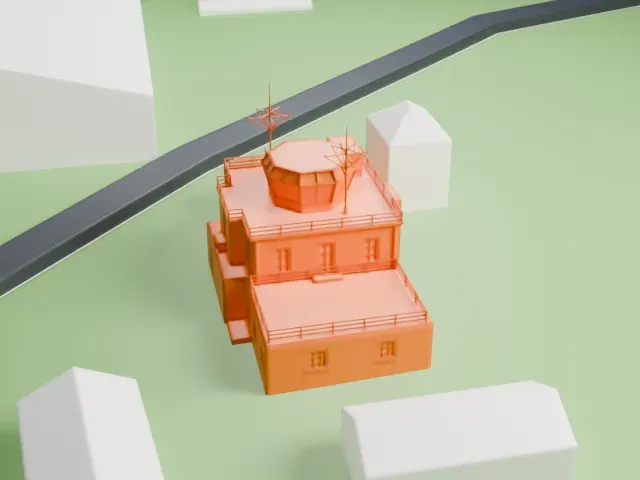 East
-
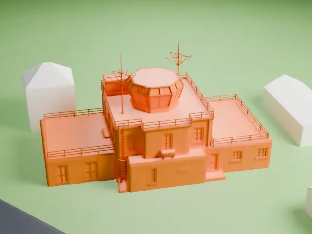 South
-
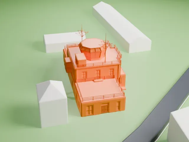 West
- On a 160 mm print
- 4 mm
- Scale
- 1:3,750
4 mm tall on a 160 mm print
Make this print opens the generator on a 600 m square around the landmark. Buildings print at close to true scale, so the landmark grows with the print size.
- Octagonal glazed cab
An octagonal glazed cab sits above the brick tower, ringed by an open railed terrace. Print friendly adapts the thin rails and window frames; Full detail keeps the glazing facets distinct.
- Flanking wings and aerials
Low flat-roofed wings flank the tower, with a small roof booth and thin aerials above. Use 0.12–0.16 mm layers and print slowly so the slender roof parts stay crisp.
- One piece with the ground
The RAF Upper Heyford control tower is joined to the ground in the exported file, and the four-side check found no floating parts, so nothing needs gluing.
- Pick the detail for your nozzle
In the Buildings settings, set Landmark detail to Print friendly to adapt thin parts and small details to the print scale. Full detail keeps every modeled feature, for larger prints or a finer nozzle.
- Colors
Buildings, roads, water and ground arrive as separate filament slots in the 3MF. The RAF Upper Heyford control tower takes the building color.
- File format
You get a 3MF for Bambu Studio, OrcaSlicer or PrusaSlicer. Any of them can save it as STL if you need one.
About the RAF Upper Heyford control tower
The RAF Upper Heyford control tower is a military airfield tower built in 1950–2, one of seven made around 1950–3 to drawing 5223a/51. Its core is a two-storey red brick tower, 33 ft 6 in by 32 ft 6 in, framed in steel. Above it sits an octagonal control room, glazed and framed in steel, offering a 360-degree view over the whole aerodrome, with the main runway lying to the north. Low wings with flat roofs flank the tower on the east, west and south sides and hold electrical gear and offices. Each of the east and west wings measures 25 ft by 23 ft and has railings around its edges.
The tower occupies a central spot in the southern half of the flying field, just south of the main runway, which it overlooks. It served the airbase as its weather and radio receiver, a role central to operations. The listing also records an associated blast wall and magnetometer base.
About this model
The RAF Upper Heyford control tower is one of more than 4,400 landmark models in Mini Skyline. They are made with AI, and each one is checked from four sides in its real surroundings before release. Everything around it is built from OpenStreetMap and Overture map data. If you would rather print the shape from map data, turn off Landmark models in the Buildings settings.
Keep exploring