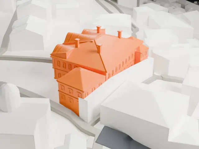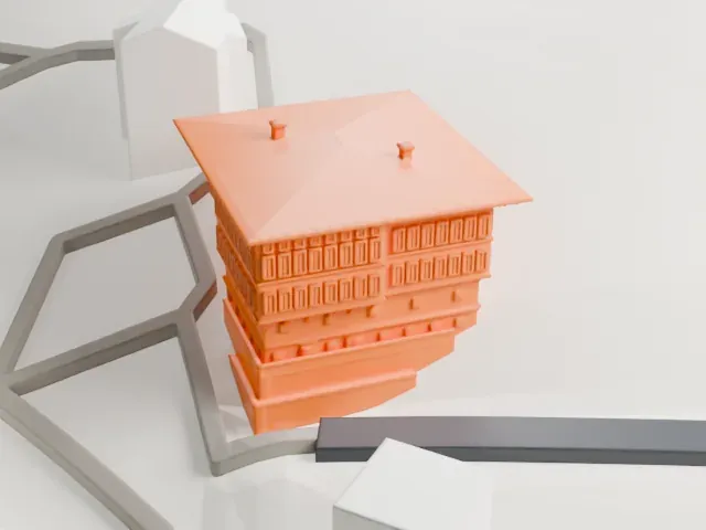
3D print Rozhen Monastery
A free, printable model of Rozhen Monastery, a ring of pitched-roof buildings around a courtyard, with the open green ground around it, generated from real map data in your browser.
-
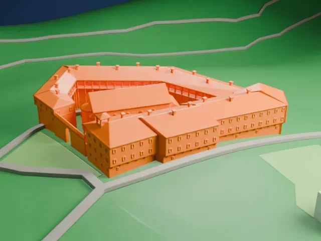 North
-
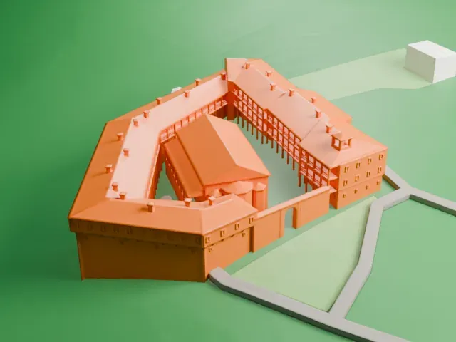 East
-
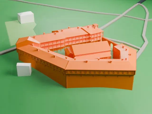 South
-
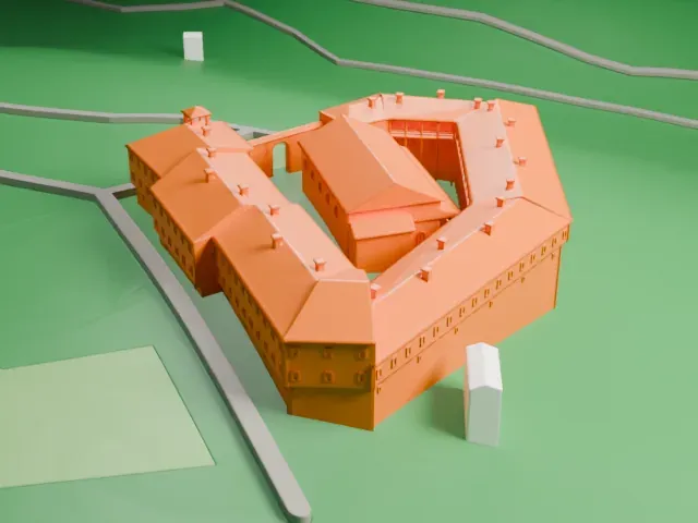 West
The model you print
Rozhen Monastery in 3D
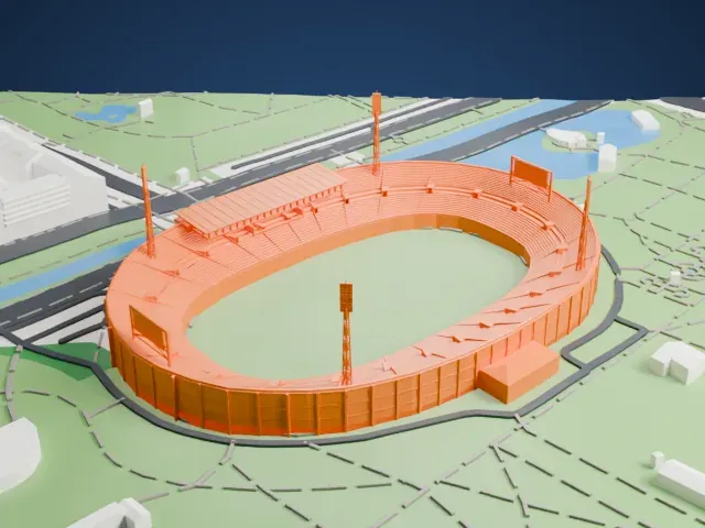
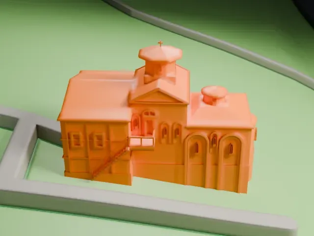
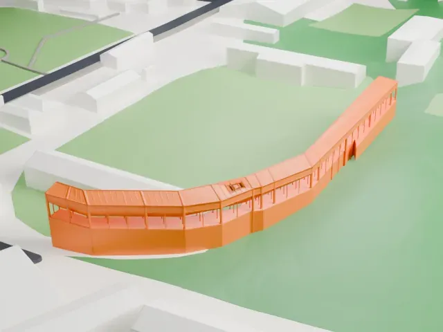
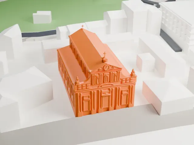
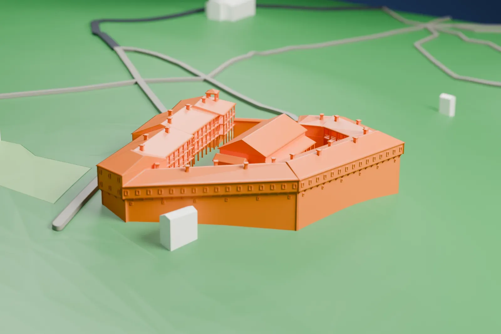
The landmark on its own, at its size on a 160 mm print. Print friendly thickens thin parts for a 0.4 mm nozzle; Full detail keeps every part.
- On a 160 mm print
- 6 mm
- Scale
- 1:3,750
6 mm tall on a 160 mm print
Make this print opens the generator on a 600 m square around the landmark. Buildings print at close to true scale, so the landmark grows with the print size.
- Thin gallery posts and chimneys
The inner wings have slender gallery posts, and small chimneys dot the roofs. Print friendly adapts thin parts to the print scale; Full detail keeps them on a larger print.
- One piece with the ground
Rozhen Monastery is joined to the ground in the exported file, and the four-side check found no floating parts, so nothing needs gluing.
- Pick the detail for your nozzle
In the Buildings settings, set Landmark detail to Print friendly to adapt thin parts and small details to the print scale. Full detail keeps every modeled feature, for larger prints or a finer nozzle.
- Colors
Buildings, roads, water and ground arrive as separate filament slots in the 3MF. Rozhen Monastery takes the building color.
- File format
You get a 3MF for Bambu Studio, OrcaSlicer or PrusaSlicer. Any of them can save it as STL if you need one.
About Rozhen Monastery
Rozhen Monastery, whose full name refers to the birth of the Mother of God, is the largest monastery in the Pirin Mountains of southwestern Bulgaria, set among the Melnik Earth Pyramids. It is among the few medieval Bulgarian monasteries to survive in good condition. The oldest archaeological sign of medieval life at the site is a grave containing a few coins and ornaments from the time of Michael VIII Palaiologos, the Byzantine emperor (1259–1282), and the oldest written mention is a note in a chant book of 1551, held in the library of the Great Lavra on Mount Athos.
The church dates from before the 15th century and was painted in 1597, and some of those frescoes survive. The south facade was painted in 1611. A fire between 1662 and 1674 destroyed the library and severely damaged most buildings. Rich Bulgarians from across the country helped pay for the restoration, which started in 1715 and was completely finished in 1732.
The monastery was at its height in the 19th century, serving as a regional center of Orthodox Christianity and owning much land nearby. The grave of the Bulgarian revolutionary Yane Sandanski lies near the monastery. In Antarctica, a peninsula on Livingston Island among the South Shetland Islands bears the name Rozhen, after the Rozhen site.
About this model
Rozhen Monastery is one of more than 6,500 landmark models in Mini Skyline. They are made with AI, and each one is checked in its real surroundings before release. Each model is written as code from public descriptions, plans, photographs and aerial views used only as references; no image or third-party model is copied into it. Everything around it is built from OpenStreetMap and Overture map data. Rights in the building itself, its name and any brands on it are not granted by Mini Skyline; clear them separately before you sell prints. If you would rather print the shape from map data, turn off Landmark models in the Buildings settings.
Mini Skyline is not affiliated with, or endorsed by, the owners of this building or its names and marks.
Keep exploring