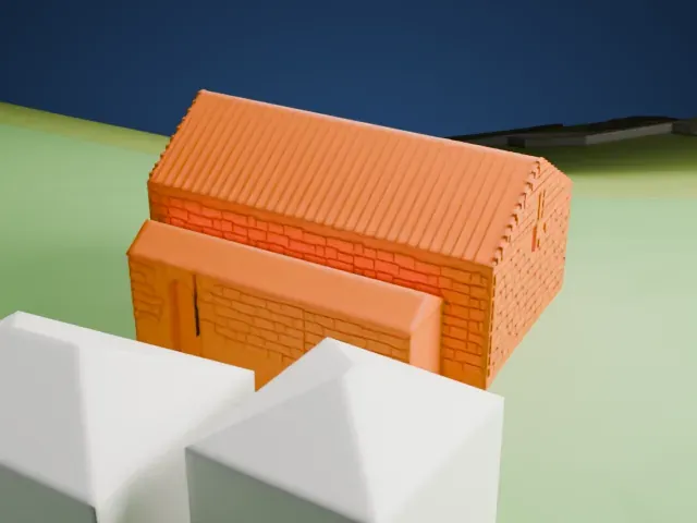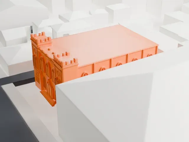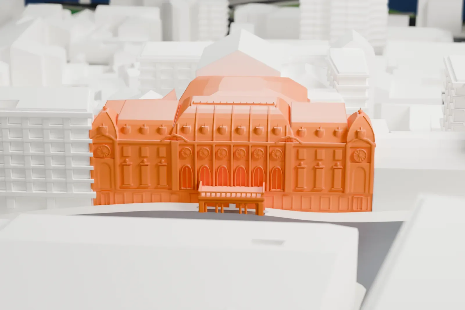
Rustaveli Theatre in 3D
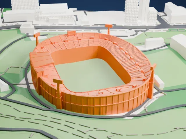
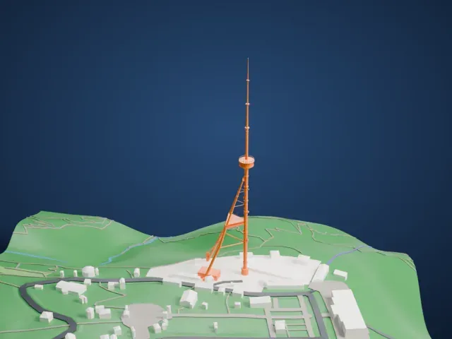
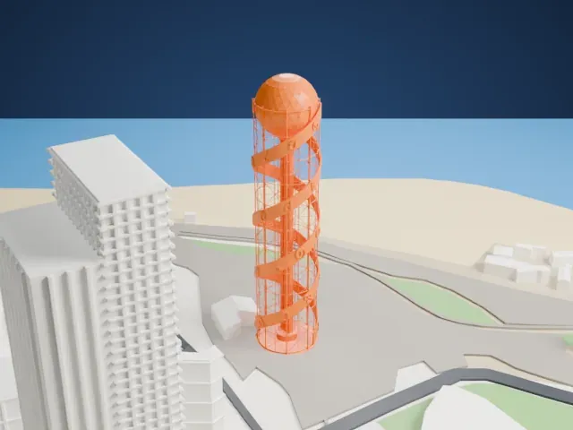
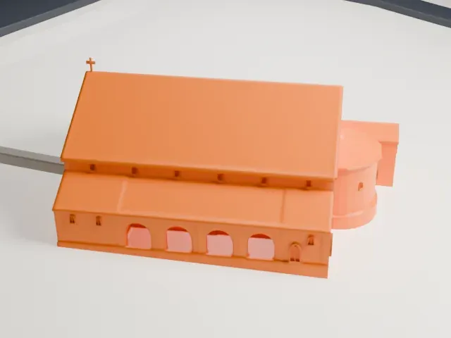
The Rustaveli Theatre appears in city models you make here; its design may still be protected, so it isn't offered as a separate download.
-
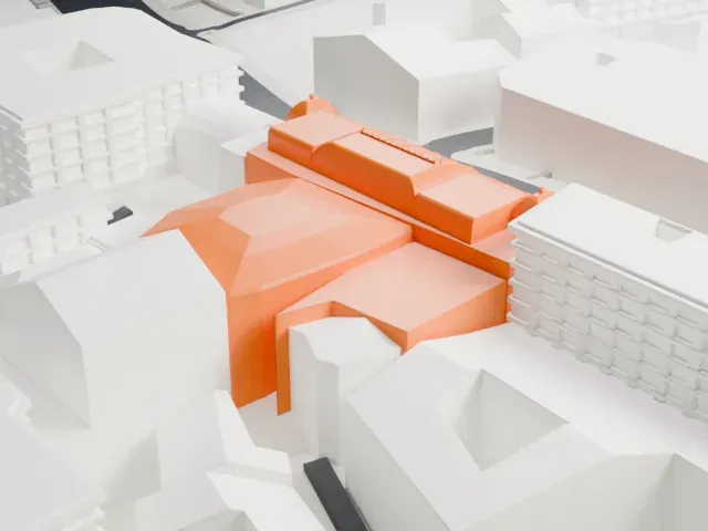 North
-
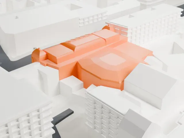 East
-
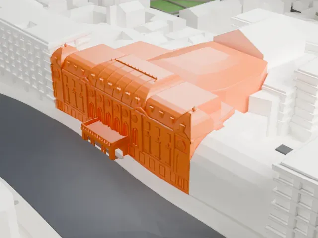 South
-
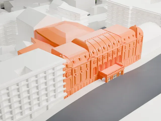 West
Copyright notice
The design of Rustaveli Theatre may still be protected by copyright. It appears in the city models you make here, but it is not offered as a separate model.
- On a 160 mm print
- 8 mm
- Scale
- 1:3,750
8 mm tall on a 160 mm print
Make this print opens the generator on a 600 m square around the landmark. Buildings print at close to true scale, so the landmark grows with the print size.
- Ornate street front
The front is full of arched windows, small ornaments and a balcony porch. Print friendly adapts these small details to the print scale; Full detail keeps them on a larger print.
- Corner domes and curved roofs
Small domes cap both ends of the front, and curved roofs run behind it. A layer height of 0.12–0.16 mm keeps the curves smooth.
- One piece with the ground
The Rustaveli Theatre is joined to the ground in the exported file, and the four-side check found no floating parts, so nothing needs gluing.
- Pick the detail for your nozzle
In the Buildings settings, set Landmark detail to Print friendly to adapt thin parts and small details to the print scale. Full detail keeps every modeled feature, for larger prints or a finer nozzle.
- Colors
Buildings, roads, water and ground arrive as separate filament slots in the 3MF. The Rustaveli Theatre takes the building color.
- File format
You get a 3MF for Bambu Studio, OrcaSlicer or PrusaSlicer. Any of them can save it as STL if you need one.
About the Rustaveli Theatre
The Rustaveli Theater, formally the Tbilisi State Academic Theater named for Shota Rustaveli, is the largest of Georgia's theaters and one of the oldest. It stands on Rustaveli Avenue in the capital, Tbilisi, in an ornate Rococo-style building. Its founding dates to 1887, and it has carried the name of Rustaveli, Georgia's national poet, since 1921.
In 1887 the building was founded as the Artists' Society. Painters Lado Gudiashvili and David Kakabadze, along with set designer Serge Sudeikin, were commissioned to paint frescoes in the basement, and Mose and Iracly Toidze later joined them. Soviet rule whitewashed these works, and only a small portion has been restored. Alexander Mantashev funded construction; Tbilisi's Municipal Architect, Aleksander Szymkiewicz, and Cornell K. Tatishchev designed it. A renovation from 2002 to 2005 was largely funded by Bidzina Ivanishvili.
The theater has three stages: a main stage with about 800 seats, a small stage with 283 seats, plus a 182-seat Black Box Theatre for experimental performances. It can also host conferences and events, and has two ballrooms, one large and one small, plus a small foyer.
About this model
The Rustaveli Theatre is one of more than 6,500 landmark models in Mini Skyline. They are made with AI, and each one is checked in its real surroundings before release. Each model is written as code from public descriptions, plans, photographs and aerial views used only as references; no image or third-party model is copied into it. Everything around it is built from OpenStreetMap and Overture map data. Rights in the building itself, its name and any brands on it are not granted by Mini Skyline; clear them separately before you sell prints. If you would rather print the shape from map data, turn off Landmark models in the Buildings settings.
Mini Skyline is not affiliated with, or endorsed by, the owners of this building or its names and marks.
Keep exploring