3D print Alba Mons on Mars
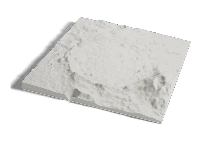
The middle of a very wide, very low volcano on one print: the summit of Alba Mons and the faults that ring it, from Mars elevation data.
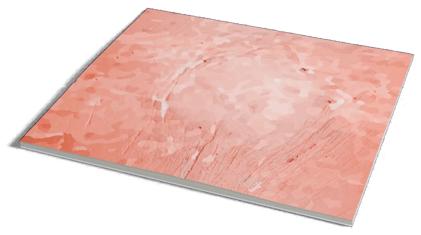
Mars terrain: USGS Astrogeology; ESA Mars Express HRSC (DLR, FU Berlin); NASA MGS MOLA. Surface imagery: Viking MDIM 2.1 mosaic, NASA/JPL/USGS. Pictures CC BY-SA 3.0 IGO: these are renders of a 3D model made from the terrain data above, cropped, scaled and exaggerated in height. They are shared under that license.
Where it is 41.08°N 110.71°W Mars
- Width
- About 548 km (340 mi)
- Type
- A broad, low volcano
- Faults
- Troughs up to 1,000 km (620 mi) long ring it
- Summit caldera
- Alba Patera
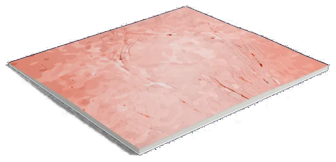
Mars terrain: USGS Astrogeology; ESA Mars Express HRSC (DLR, FU Berlin); NASA MGS MOLA. Surface imagery: Viking MDIM 2.1 mosaic, NASA/JPL/USGS. Pictures CC BY-SA 3.0 IGO: these are renders of a 3D model made from the terrain data above, cropped, scaled and exaggerated in height. They are shared under that license.
1056 by 950 km of Mars, 160 mm across
About Alba Mons
Alba Mons is a volcano in northern Tharsis on Mars. The gazetteer gives it as about 548 km (340 mi) across, and ESA calls it a sprawling, low-relief volcano: its slopes are so gentle that it barely looks like a mountain.
Long fault troughs, Tantalus Fossae on the east and matching ones on the west, form an incomplete ring around it. ESA gives them as up to 1,000 km (620 mi) long, 10 km (6 mi) wide and 350 m (1,150 ft) deep. NASA says such rings formed when the volcano sank into its emptied magma chamber after a huge eruption. The caldera at the summit is called Alba Patera.
Sources: IAU Gazetteer of Planetary Nomenclature: Alba Mons, ESA: Tantalising tectonics, NASA: Alba Mons flank, ESA: A broader view of Acheron Fossae
Elsewhere on Mars
All worlds-
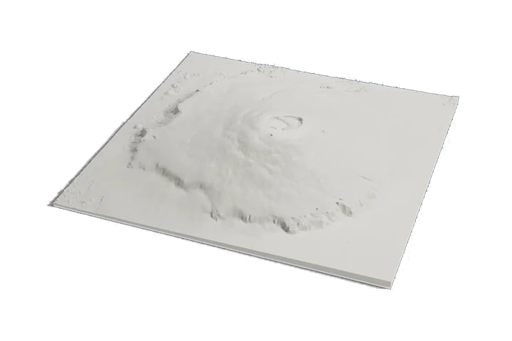 Volcano
Olympus Mons
-
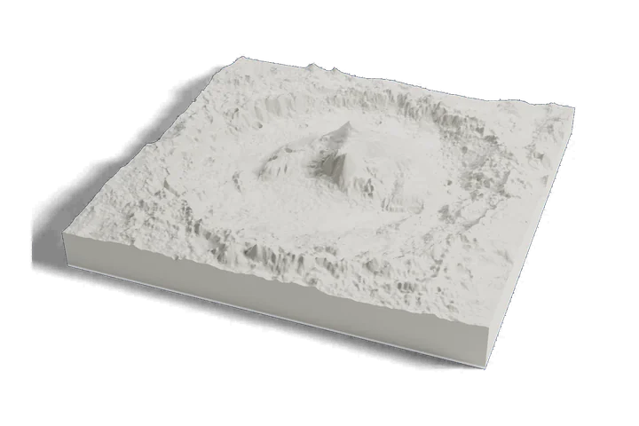 Landing site · Curiosity, 2012
Gale crater and Mount Sharp
-
 Landing site · Perseverance, 2021
Jezero crater
Mars terrain: USGS Astrogeology; ESA Mars Express HRSC (DLR, FU Berlin); NASA MGS MOLA. Surface imagery: Viking MDIM 2.1 mosaic, NASA/JPL/USGS. Pictures CC BY-SA 3.0 IGO: these are renders of a 3D model made from the terrain data above, cropped, scaled and exaggerated in height. They are shared under that license.