3D print the Viking 1 landing site on Mars
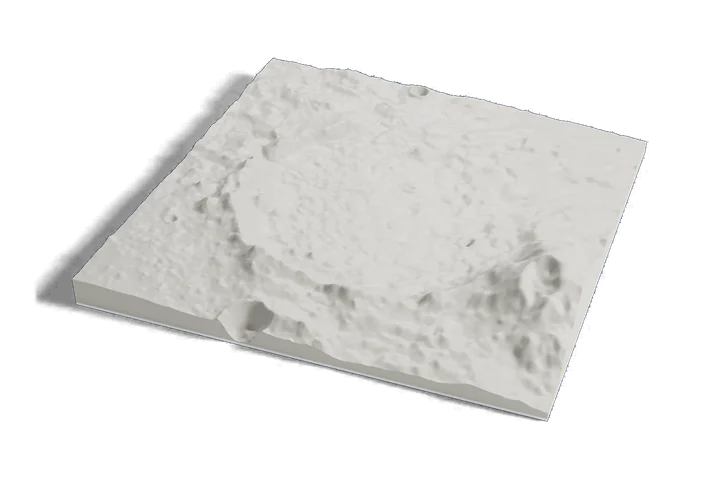
The first fully successful Mars landing, on one print: the plain of Chryse Planitia around the Viking 1 landing site, from Mars elevation data.
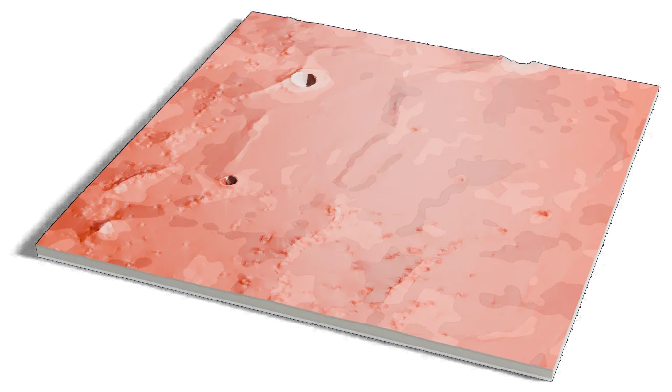
Mars terrain: USGS Astrogeology; ESA Mars Express HRSC (DLR, FU Berlin); NASA MGS MOLA. Surface imagery: Viking MDIM 2.1 mosaic, NASA/JPL/USGS. Pictures CC BY-SA 3.0 IGO: these are renders of a 3D model made from the terrain data above, cropped, scaled and exaggerated in height. They are shared under that license.
Where it is 22.48°N 47.94°W Mars
- Landing
- July 20, 1976
- Worked until
- November 1982
- Lander name
- Thomas Mutch Memorial Station
- Operator
- NASA, United States
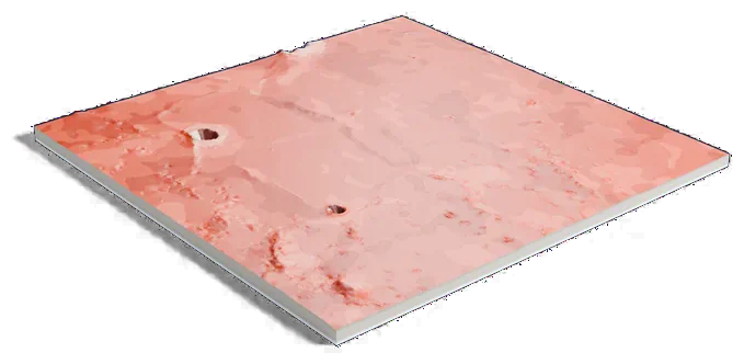
Mars terrain: USGS Astrogeology; ESA Mars Express HRSC (DLR, FU Berlin); NASA MGS MOLA. Surface imagery: Viking MDIM 2.1 mosaic, NASA/JPL/USGS. Pictures CC BY-SA 3.0 IGO: these are renders of a 3D model made from the terrain data above, cropped, scaled and exaggerated in height. They are shared under that license.
152 by 151 km of Mars, 160 mm across
About Viking 1 landing site
NASA's Viking 1 landed on July 20, 1976, on the western slopes of Chryse Planitia, a plain about 1,540 km (960 mi) across, about 28 km (17 mi) from its planned target. NASA calls it the first truly successful landing on Mars, and it took the first photograph from the surface of the planet.
The lander worked for more than six years, until November 1982. In 1982 it was renamed the Thomas Mutch Memorial Station, for the leader of the Viking imaging team.
Sources: NASA: Viking 1, NASA NSSDCA: Viking mission to Mars, IAU Gazetteer of Planetary Nomenclature: Chryse Planitia
Elsewhere on Mars
All worlds-
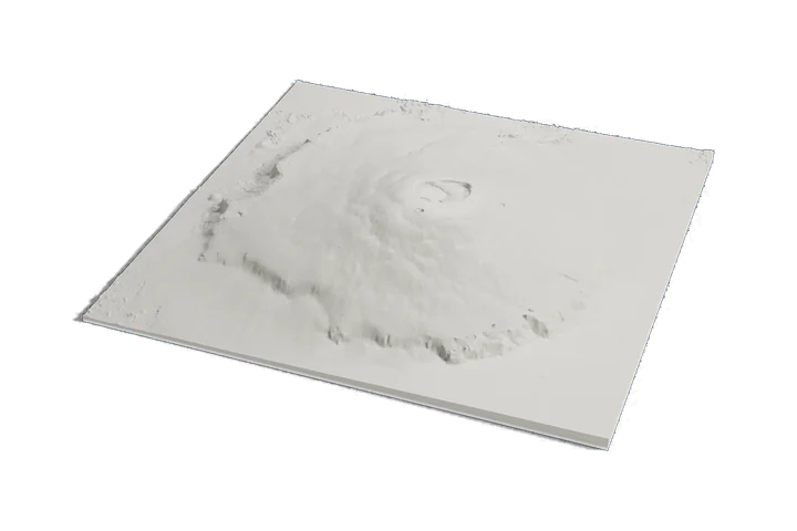 Volcano
Olympus Mons
-
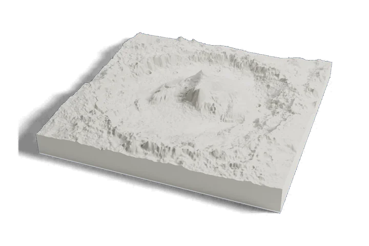 Landing site · Curiosity, 2012
Gale crater and Mount Sharp
-
 Landing site · Perseverance, 2021
Jezero crater
Mars terrain: USGS Astrogeology; ESA Mars Express HRSC (DLR, FU Berlin); NASA MGS MOLA. Surface imagery: Viking MDIM 2.1 mosaic, NASA/JPL/USGS. Pictures CC BY-SA 3.0 IGO: these are renders of a 3D model made from the terrain data above, cropped, scaled and exaggerated in height. They are shared under that license.