3D print the InSight landing site on Mars
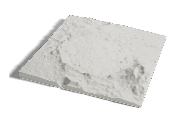
The quietest-looking place on this list, on one print: the smooth plain of Elysium Planitia around NASA's InSight lander, which measured more than 1,300 marsquakes, from Mars elevation data.
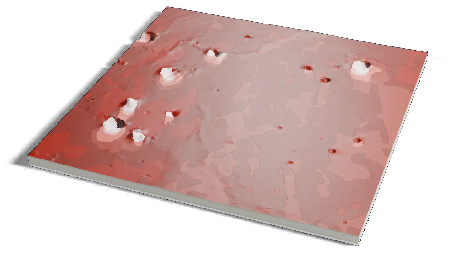
Mars terrain: USGS Astrogeology; ESA Mars Express HRSC (DLR, FU Berlin); NASA MGS MOLA. Surface imagery: Viking MDIM 2.1 mosaic, NASA/JPL/USGS. Pictures CC BY-SA 3.0 IGO: these are renders of a 3D model made from the terrain data above, cropped, scaled and exaggerated in height. They are shared under that license.
Where it is 4.50°N 135.62°E Mars
- Landing
- November 26, 2018
- Marsquakes
- 1,319 detected
- Last contact
- December 15, 2022
- Operator
- NASA, United States
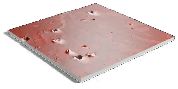
Mars terrain: USGS Astrogeology; ESA Mars Express HRSC (DLR, FU Berlin); NASA MGS MOLA. Surface imagery: Viking MDIM 2.1 mosaic, NASA/JPL/USGS. Pictures CC BY-SA 3.0 IGO: these are renders of a 3D model made from the terrain data above, cropped, scaled and exaggerated in height. They are shared under that license.
150 by 151 km of Mars, 160 mm across
About InSight landing site
NASA's InSight landed on November 26, 2018, on the western side of Elysium Planitia, near the equator. NASA calls the plain flat and smooth, and the site was chosen for a safe landing rather than for what is on the surface.
InSight studied the inside of Mars. Its seismometer detected 1,319 marsquakes, which showed the planet's inner layers. It last spoke to Earth on December 15, 2022, after dust covered its solar panels, and NASA ended the mission that month.
Sources: NASA: InSight, NASA JPL: NASA retires InSight Mars lander mission, IAU Gazetteer of Planetary Nomenclature: Elysium Planitia
Elsewhere on Mars
All worlds-
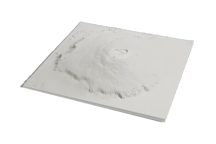 Volcano
Olympus Mons
-
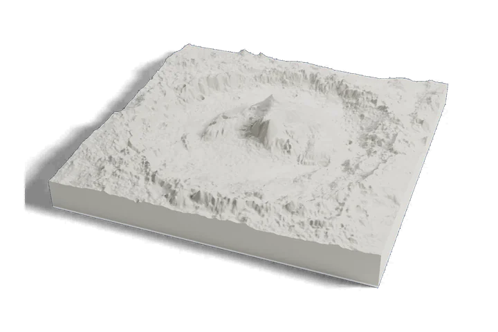 Landing site · Curiosity, 2012
Gale crater and Mount Sharp
-
 Landing site · Perseverance, 2021
Jezero crater
Mars terrain: USGS Astrogeology; ESA Mars Express HRSC (DLR, FU Berlin); NASA MGS MOLA. Surface imagery: Viking MDIM 2.1 mosaic, NASA/JPL/USGS. Pictures CC BY-SA 3.0 IGO: these are renders of a 3D model made from the terrain data above, cropped, scaled and exaggerated in height. They are shared under that license.