3D print the Viking 2 landing site on Mars
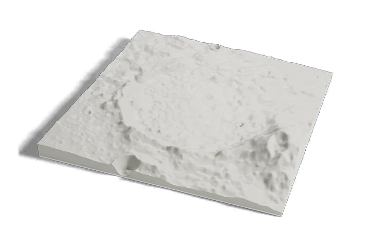
The second Viking landing, on one print: the northern plain of Utopia Planitia around the Viking 2 landing site, with Mie crater to the east, from Mars elevation data.
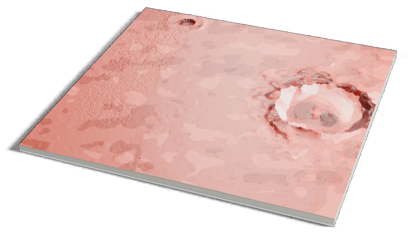
Mars terrain: USGS Astrogeology; ESA Mars Express HRSC (DLR, FU Berlin); NASA MGS MOLA. Surface imagery: Viking MDIM 2.1 mosaic, NASA/JPL/USGS. Pictures CC BY-SA 3.0 IGO: these are renders of a 3D model made from the terrain data above, cropped, scaled and exaggerated in height. They are shared under that license.
Where it is 47.64°N 134.29°E Mars
- Landing
- September 3, 1976
- Worked until
- April 1980
- Lander name
- Gerald Soffen Memorial Station
- Operator
- NASA, United States
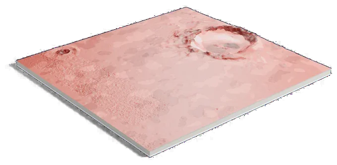
Mars terrain: USGS Astrogeology; ESA Mars Express HRSC (DLR, FU Berlin); NASA MGS MOLA. Surface imagery: Viking MDIM 2.1 mosaic, NASA/JPL/USGS. Pictures CC BY-SA 3.0 IGO: these are renders of a 3D model made from the terrain data above, cropped, scaled and exaggerated in height. They are shared under that license.
336 by 320 km of Mars, 160 mm across
About Viking 2 landing site
NASA's Viking 2 landed on September 3, 1976, in Utopia Planitia, a huge plain in Mars' northern hemisphere, about 6,460 km (4,000 mi) from Viking 1. Mission planners picked a site near the edge of the polar ice cap.
The lander sent data until April 1980. In 2001 it was renamed the Gerald Soffen Memorial Station. Mie, a crater about 101 km (63 mi) across, lies to its east.
Sources: NASA: Viking 2, NASA NSSDCA: Viking mission to Mars, IAU Gazetteer of Planetary Nomenclature: Utopia Planitia, IAU Gazetteer of Planetary Nomenclature: Mie
Elsewhere on Mars
All worlds-
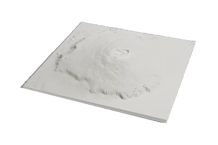 Volcano
Olympus Mons
-
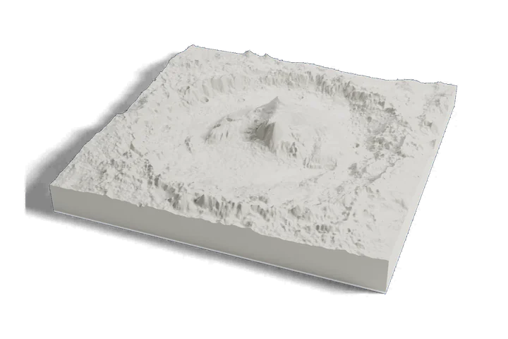 Landing site · Curiosity, 2012
Gale crater and Mount Sharp
-
 Landing site · Perseverance, 2021
Jezero crater
Mars terrain: USGS Astrogeology; ESA Mars Express HRSC (DLR, FU Berlin); NASA MGS MOLA. Surface imagery: Viking MDIM 2.1 mosaic, NASA/JPL/USGS. Pictures CC BY-SA 3.0 IGO: these are renders of a 3D model made from the terrain data above, cropped, scaled and exaggerated in height. They are shared under that license.