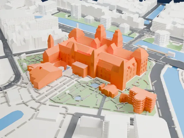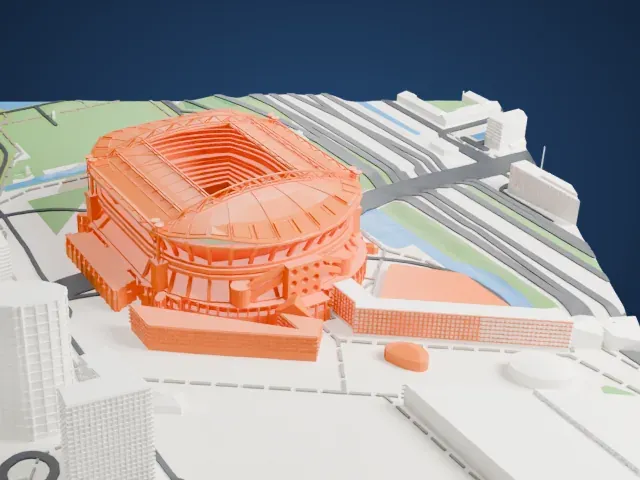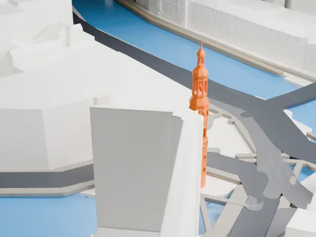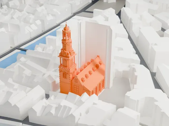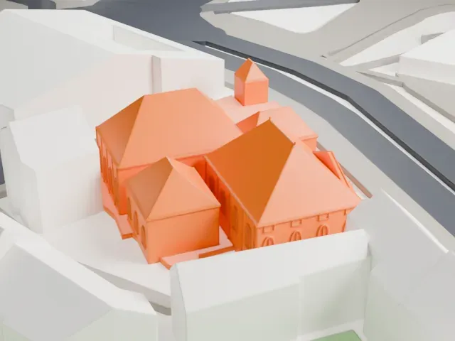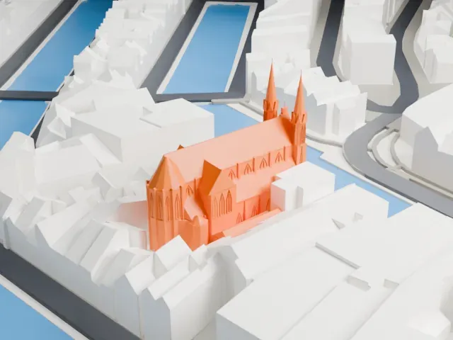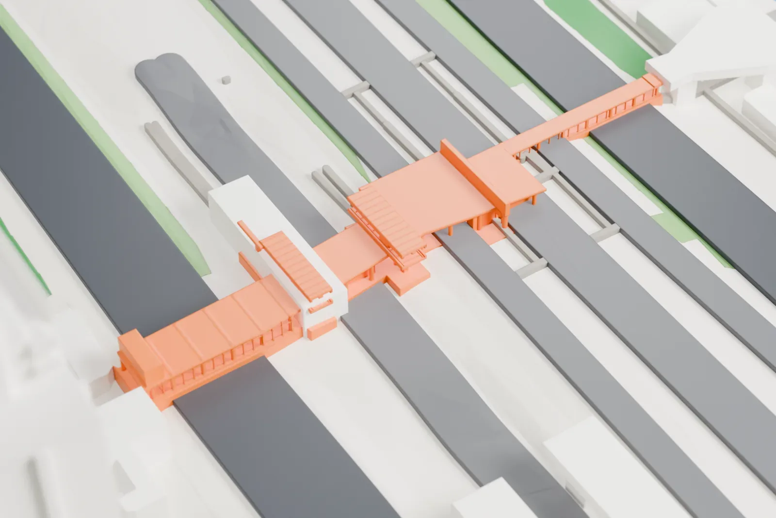
Amsterdam Zuid station in 3D
Amsterdam Zuid station appears in city models you make here; its design may still be protected, so it isn't offered as a separate download.
-
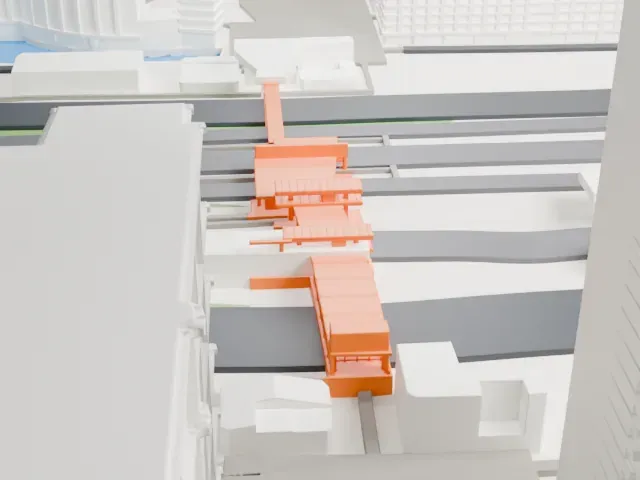 North
-
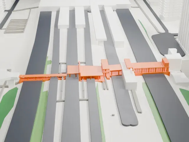 East
-
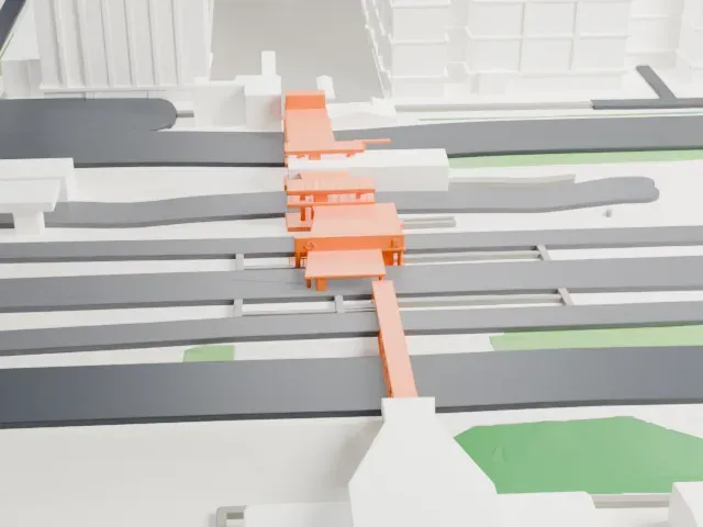 South
-
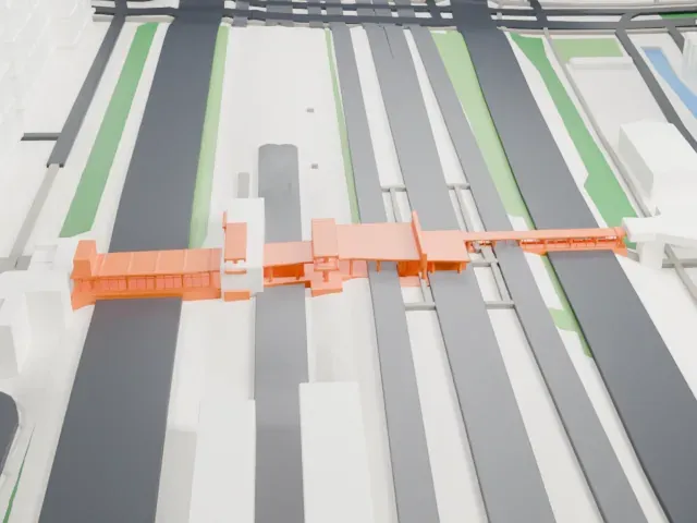 West
Copyright notice
The design of Amsterdam Zuid station may still be protected by copyright. It appears in the city models you make here, but it is not offered as a separate model.
- On a 160 mm print
- 4 mm
- Scale
- 1:3,750
4 mm tall on a 160 mm print
Make this print opens the generator on a 600 m square around the landmark. Buildings print at close to true scale, so the landmark grows with the print size.
- Long, low station building
The model is long and low, so its long roof edge softens first at small sizes. A larger print keeps the outline crisp, and 0.12–0.16 mm layers hold the straight top.
- One piece with the ground
Amsterdam Zuid station is joined to the ground in the exported file, and the four-side check found no floating parts, so nothing needs gluing.
- Pick the detail for your nozzle
In the Buildings settings, set Landmark detail to Print friendly to adapt thin parts and small details to the print scale. Full detail keeps every modeled feature, for larger prints or a finer nozzle.
- Colors
Buildings, roads, water and ground arrive as separate filament slots in the 3MF. Amsterdam Zuid station takes the building color.
- File format
You get a 3MF for Bambu Studio, OrcaSlicer or PrusaSlicer. Any of them can save it as STL if you need one.
About Amsterdam Zuid station
Amsterdam Zuid is a railway station in the Amsterdam-Zuid borough of Amsterdam, Netherlands. It opened in 1978 on a strategic rail route, often called the Zuidtak. That route was completed in 1993 and links Schiphol Airport in the west with Weesp in the east by way of Duivendrecht. The station became the heart of the Zuidas business district, which holds large banks and accounting and legal firms, and it serves as the main public transport gateway to the VU University campus just south of it.
For a time the station was called Amsterdam Zuid WTC, after the neighboring World Trade Center Amsterdam. In 2006 it was enlarged and the WTC reference was dropped from the name. It also has a metro station used by lines 50, 51 and 52, plus tram stops at Station Zuid and Parnassusweg, where lines 5 and 25 call.
Amsterdam Zuid has effectively replaced Amsterdam Centraal as the capital's principal station for direct connections. The station occupies the median of the A10 motorway ring, leaving no room for conventional surface expansion. Metro line 52, opened in July 2018, connects Amsterdam North with the station by way of Centraal, and line 50 has run since 1997.
About this model
Amsterdam Zuid station is one of more than 6,500 landmark models in Mini Skyline. They are made with AI, and each one is checked in its real surroundings before release. Each model is written as code from public descriptions, plans, photographs and aerial views used only as references; no image or third-party model is copied into it. Everything around it is built from OpenStreetMap and Overture map data. Rights in the building itself, its name and any brands on it are not granted by Mini Skyline; clear them separately before you sell prints. If you would rather print the shape from map data, turn off Landmark models in the Buildings settings.
Mini Skyline is not affiliated with, or endorsed by, the owners of this building or its names and marks.
Same skyline