3D print Arundel Cathedral
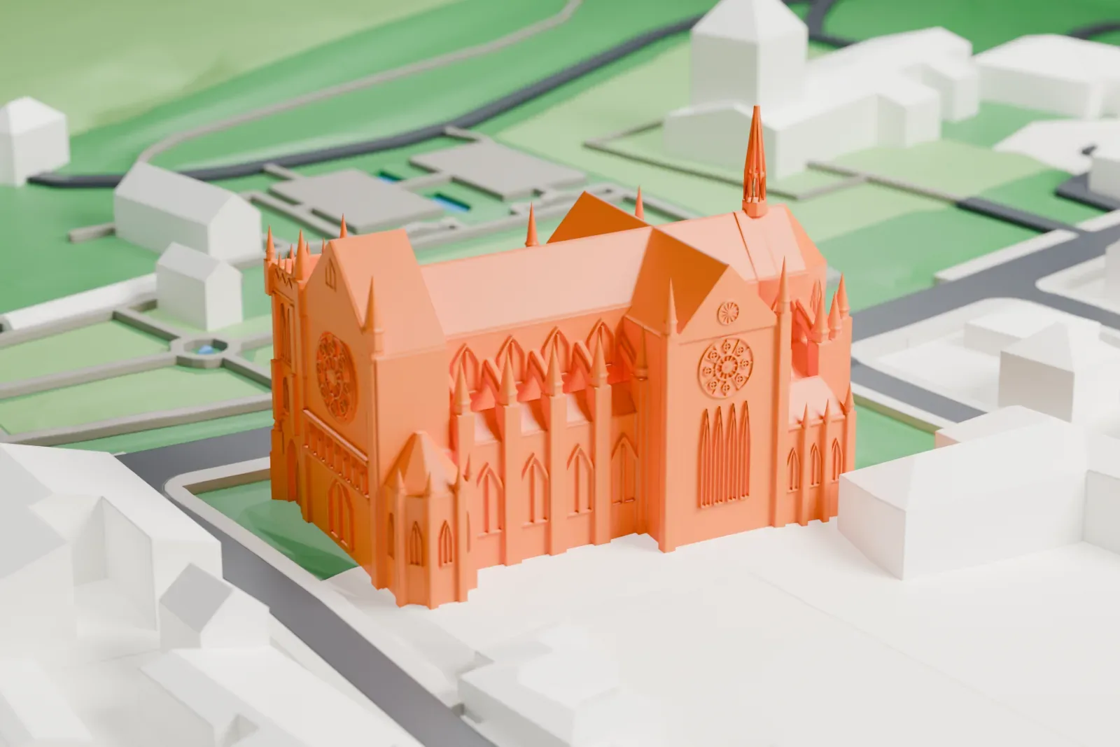
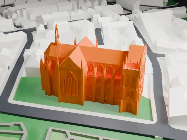
A free, printable model of Arundel Cathedral, its spires and pinnacles, with the nearby town buildings, streets and green parkland, generated from real map data in your browser.
-
 North
-
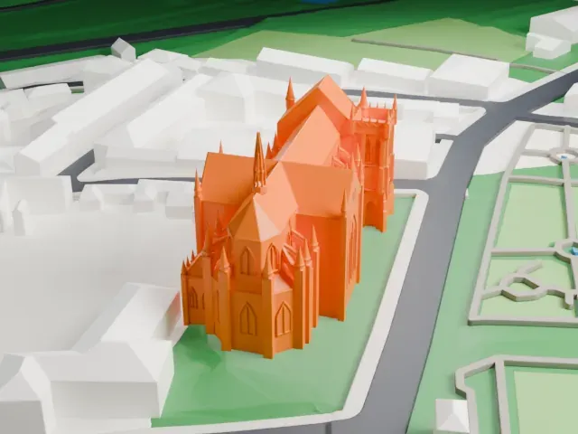 East
-
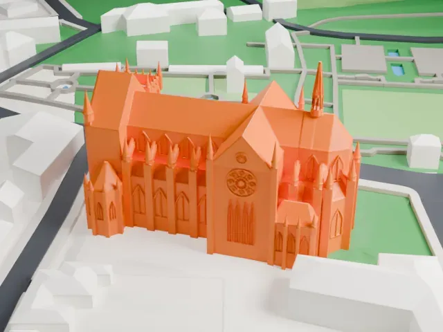 South
-
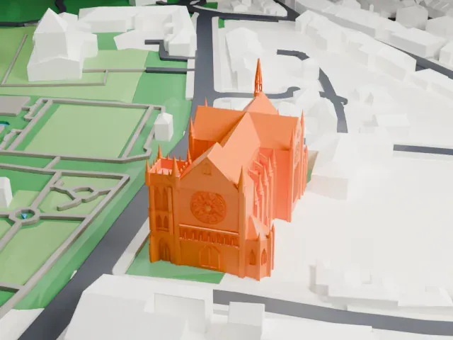 West
The model you print
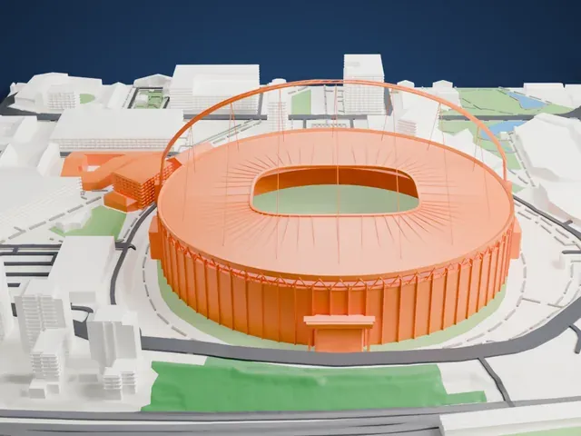
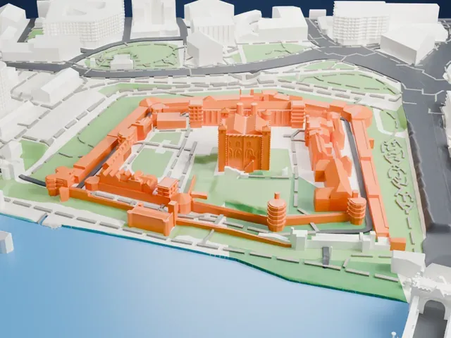
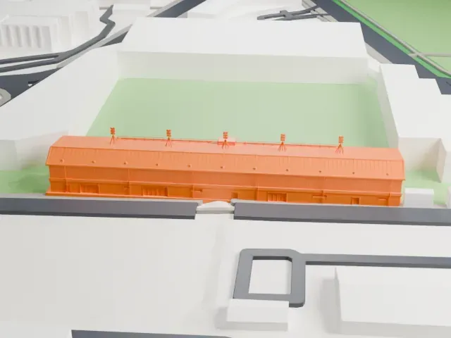
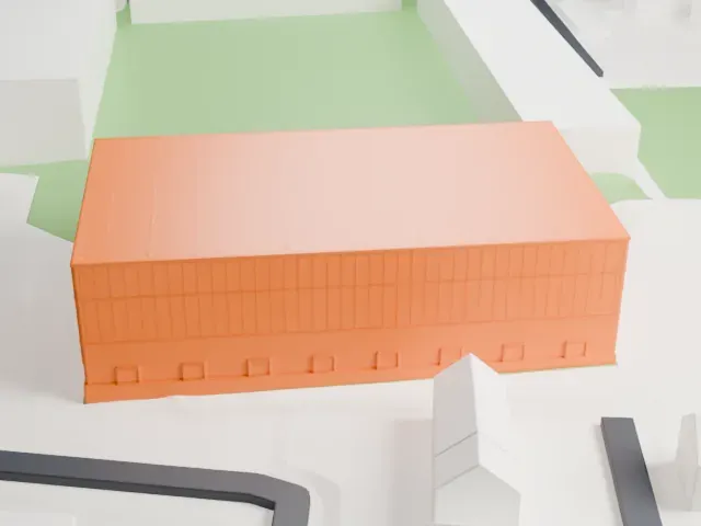
Arundel Cathedral in 3D
The landmark on its own, at its size on a 160 mm print. Print friendly thickens thin parts for a 0.4 mm nozzle; Full detail keeps every part.
- On a 160 mm print
- 11 mm
- Scale
- 1:3,750
11 mm tall on a 160 mm print
Make this print opens the generator on a 600 m square around the landmark. Buildings print at close to true scale, so the landmark grows with the print size.
- Spires and pinnacles
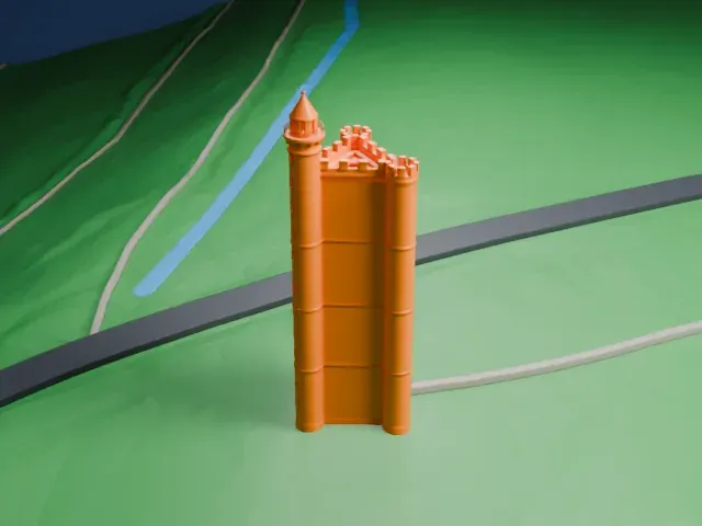
The cathedral has a tall spire, a corner tower and many small pinnacles along the roof. Print friendly strengthens thin points for the print scale; Full detail keeps them. Print slowly with good cooling.
- One piece with the ground
Arundel Cathedral is joined to the ground in the exported file, and the four-side check found no floating parts, so nothing needs gluing.
- Pick the detail for your nozzle
In the Buildings settings, set Landmark detail to Print friendly to adapt thin parts and small details to the print scale. Full detail keeps every modeled feature, for larger prints or a finer nozzle.
- Colors
Buildings, roads, water and ground arrive as separate filament slots in the 3MF. Arundel Cathedral takes the building color.
- File format
You get a 3MF for Bambu Studio, OrcaSlicer or PrusaSlicer. Any of them can save it as STL if you need one.
About Arundel Cathedral
Arundel Cathedral is formally named for Our Lady and St Philip Howard and stands in West Sussex, England, in the town of Arundel. It was dedicated in 1873 and began as Arundel's Catholic parish church and became a Roman Catholic cathedral in 1965, when the Diocese of Arundel and Brighton was founded. It is where the Bishop of Arundel and Brighton has his seat, and Historic England classes it as a Grade I listed building.
In 1868 Henry Fitzalan-Howard, the 15th Duke of Norfolk, hired the architect Joseph Hansom to plan a Catholic sanctuary that would serve as a counterpart to Arundel Castle. Its French Gothic style was popular between 1300 and 1400, when the Howards were rising to national prominence. It is considered among the country's finest French Gothic Revival buildings. Its first dedication named Our Lady and St Philip Neri, and the dedication changed in 1971 after the canonization of Philip Howard.
In 2002 Elizabeth Stratford became the first woman to serve as Director of Music at an English cathedral. The annual Corpus Christi celebration draws visitors from around the world, with a floral carpet that volunteers assemble in one day. The cathedral has also hosted a music video and concerts by Libera.
About this model
Arundel Cathedral is one of more than 6,500 landmark models in Mini Skyline. They are made with AI, and each one is checked in its real surroundings before release. Each model is written as code from public descriptions, plans, photographs and aerial views used only as references; no image or third-party model is copied into it. Everything around it is built from OpenStreetMap and Overture map data. Rights in the building itself, its name and any brands on it are not granted by Mini Skyline; clear them separately before you sell prints. If you would rather print the shape from map data, turn off Landmark models in the Buildings settings.
Mini Skyline is not affiliated with, or endorsed by, the owners of this building or its names and marks.
Keep exploring