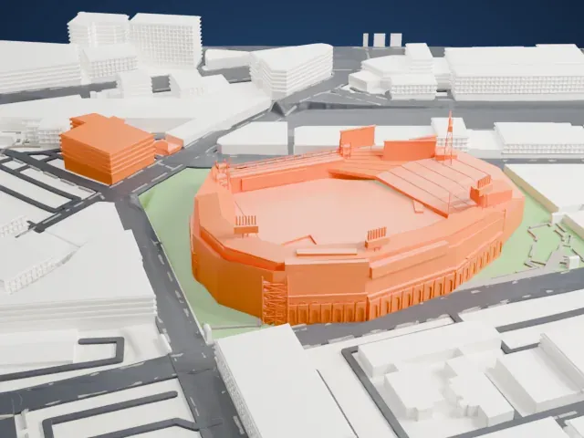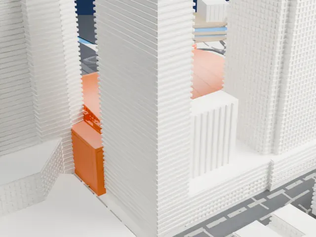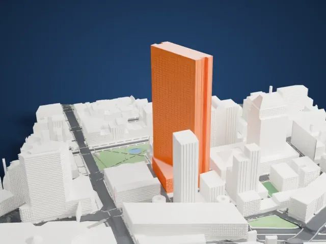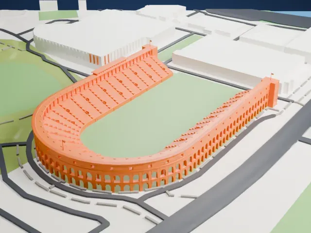
3D print the Bunker Hill Monument
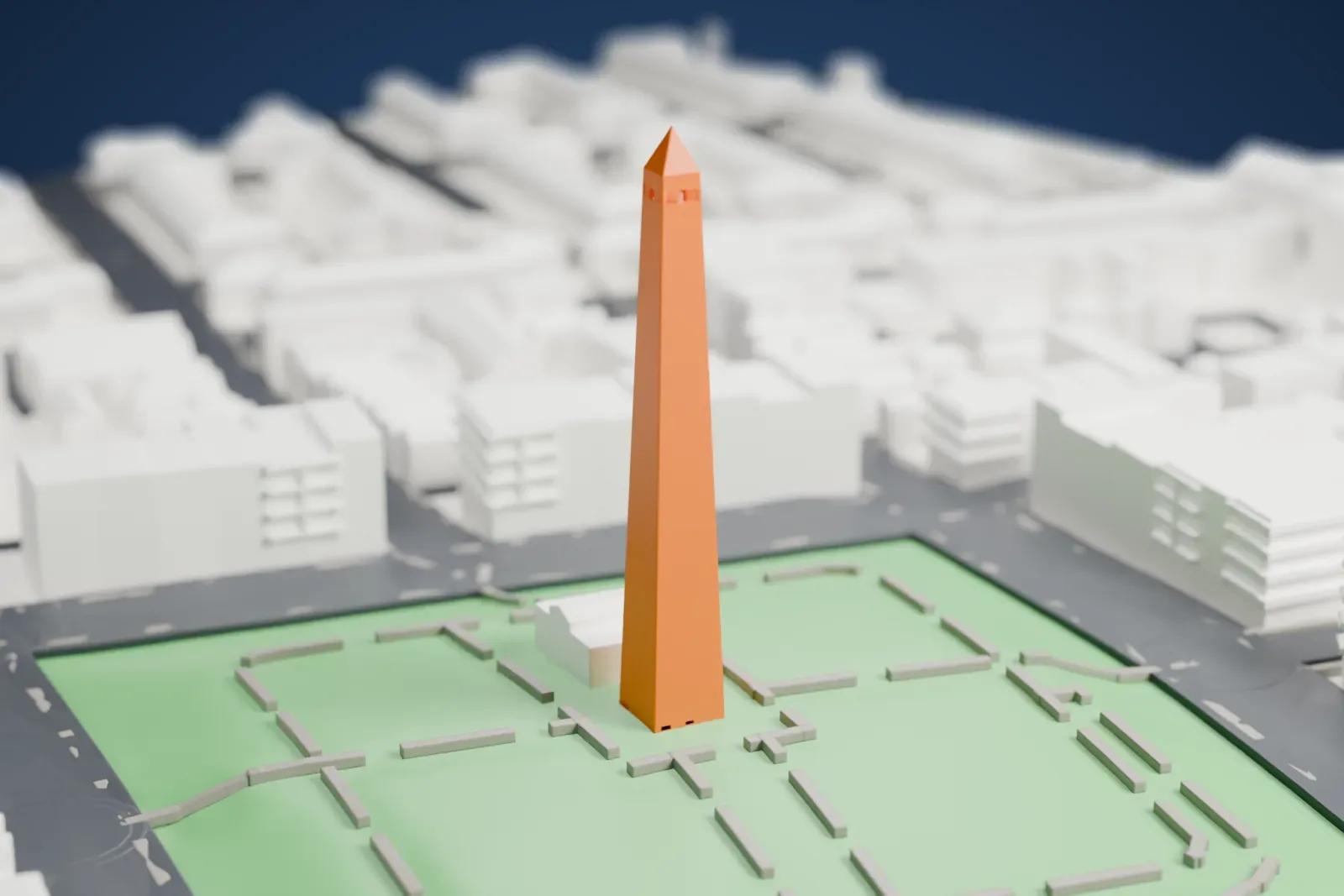
A free, printable model of the Bunker Hill Monument and the park, streets and buildings around it in Charlestown, generated from real map data in your browser.
-
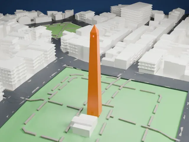 North
-
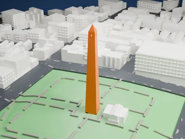 East
-
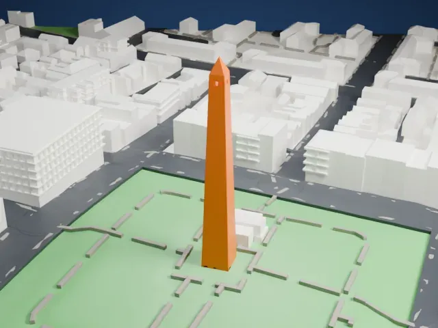 South
-
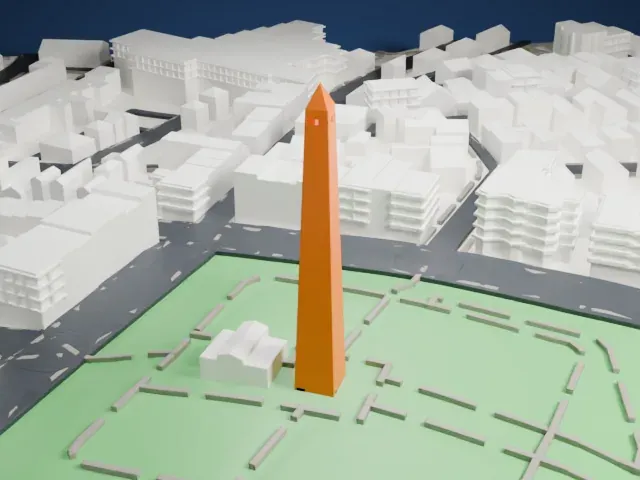 West
The model you print
Bunker Hill Monument in 3D
The landmark on its own, at its size on a 160 mm print. Print friendly thickens thin parts for a 0.4 mm nozzle; Full detail keeps every part.
- Real height
- 67 m
- On a 160 mm print
- 18 mm
- Scale
- 1:3,750
67 m of the Bunker Hill Monument, 18 mm on your shelf
Make this print opens the generator on a 600 m square around the landmark. Buildings print at close to true scale, so the landmark grows with the print size.
- A tall, tapering shaft
The obelisk tapers to a small pointed capstone. Slow printing with good cooling helps the thin top, and layers of 0.12 to 0.16 mm keep the sloped faces crisp.
- Small windows near the top
A small square opening sits near the top of each face. Print friendly adapts it to the print scale; Full detail keeps it, which suits a larger print or a fine nozzle.
- One piece with the ground
The Bunker Hill Monument is joined to the ground in the exported file, and the four-side check found no floating parts, so nothing needs gluing.
- Pick the detail for your nozzle
In the Buildings settings, set Landmark detail to Print friendly to adapt thin parts and small details to the print scale. Full detail keeps every modeled feature, for larger prints or a finer nozzle.
- Colors
Buildings, roads, water and ground arrive as separate filament slots in the 3MF. The Bunker Hill Monument takes the building color.
- File format
You get a 3MF for Bambu Studio, OrcaSlicer or PrusaSlicer. Any of them can save it as STL if you need one.
About the Bunker Hill Monument
The Bunker Hill Monument, on Breed's Hill in Boston's Charlestown neighborhood, memorializes the Battle of Bunker Hill. That major battle of the American Revolutionary War was fought there on June 17, 1775. At its center is a 67 m (221 ft) granite obelisk inside Monument Square Park, which lies in the Monument Square Historic District. Solomon Willard designed the obelisk, which was erected between 1825 and 1843.
A first monument on the site, dedicated in 1794, honored Joseph Warren, an American soldier who died in the fighting. The site was put up for sale in 1822, which led to the formation of the Bunker Hill Monument Association to buy and preserve it. Loammi Baldwin Jr. wrote the original specifications from a design Horatio Greenough had entered in a competition, and Willard later took over the design. Its cornerstone went down in 1825, but a lack of funds halted work twice for long stretches between 1829 and 1840. Its dedication came on June 17, 1843, and when finished it was the largest obelisk in the United States.
The shaft uses 6,700 short tons (6,100 t) of granite laid in 78 courses. At the base the obelisk is about 9.1 by 9.1 m (30 by 30 ft) square, tapering to 4.6 by 4.6 m (15 by 15 ft) near the top of the shaft, which ends in a pyramidion, a four-sided pyramid-shaped capstone. A statue of William Prescott, by William Wetmore Story, stands to the south and was added in 1881, and a granite entrance building to the north was completed in 1902. The monument is a National Historic Landmark and also sits on the Freedom Trail.
About this model
The Bunker Hill Monument is one of more than 5,500 landmark models in Mini Skyline. They are made with AI, and each one is checked in its real surroundings before release. Each model is written as code from public descriptions, plans, photographs and aerial views used only as references; no image or third-party model is copied into it. Everything around it is built from OpenStreetMap and Overture map data. Rights in the building itself, its name and any brands on it are not granted by Mini Skyline; clear them separately before you sell prints. If you would rather print the shape from map data, turn off Landmark models in the Buildings settings.
Mini Skyline is not affiliated with, or endorsed by, the owners of this building or its names and marks.
Same skyline