3D print Calais-Ville station
A free, printable model of Calais-Ville station, a low building beside the railway lines, with a canal, a park and city streets around it, generated from real map data in your browser.
-
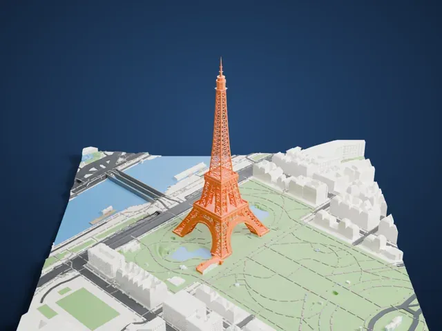
 North
-
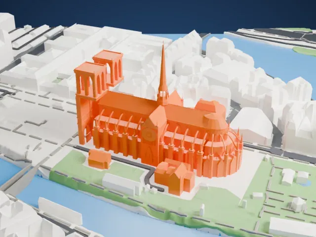
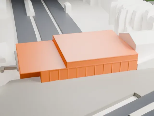 East
-
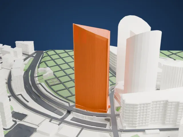
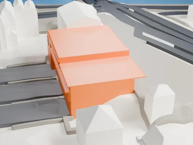 South
-
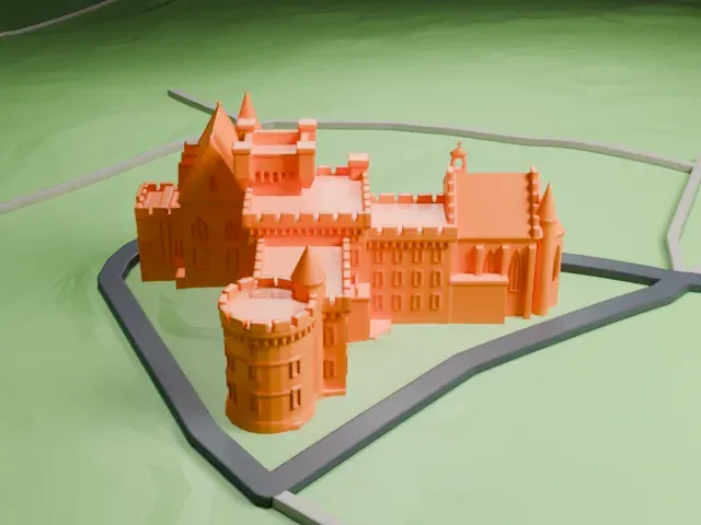
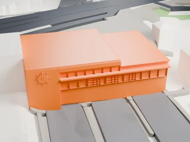 West
The model you print
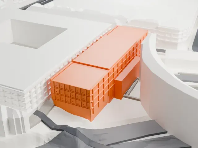
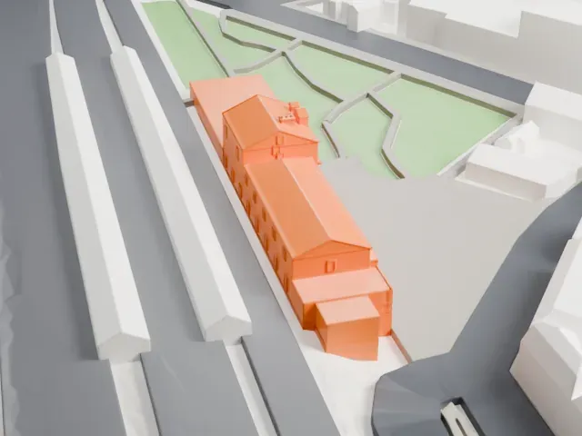
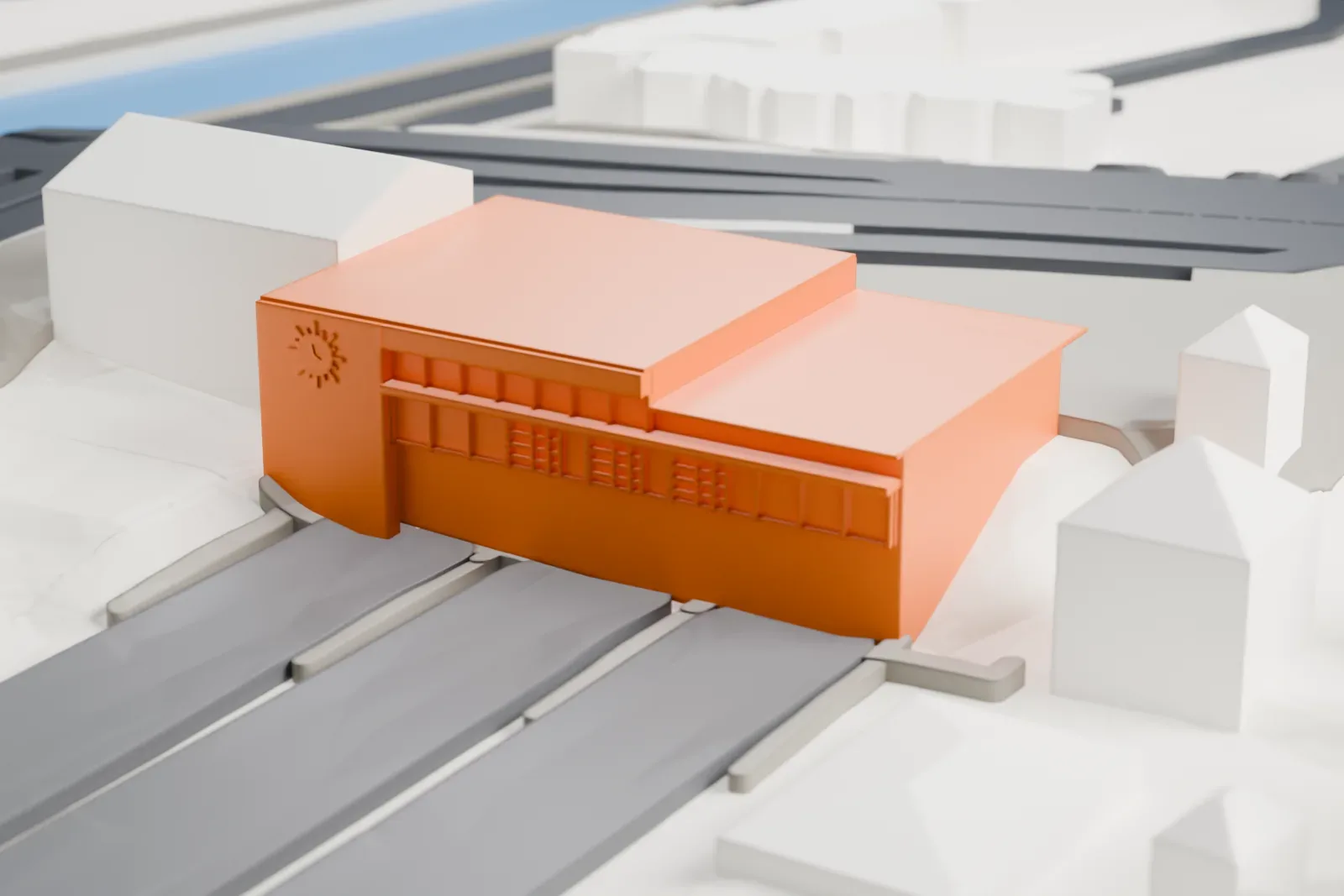
Calais-Ville station in 3D
The landmark on its own, at its size on a 160 mm print. Print friendly thickens thin parts for a 0.4 mm nozzle; Full detail keeps every part.
- On a 160 mm print
- 4 mm
- Scale
- 1:3,750
4 mm tall on a 160 mm print
Make this print opens the generator on a 600 m square around the landmark. Buildings print at close to true scale, so the landmark grows with the print size.
- Low building, fine details
The station is a small, low block, so its roof lines and window rows are tiny at the default size. A bigger print size and a 0.12–0.16 mm layer height help keep them crisp.
- One piece with the ground
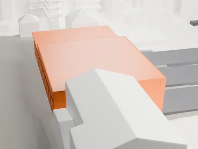
Calais-Ville station is joined to the ground in the exported file, and the four-side check found no floating parts, so nothing needs gluing.
- Pick the detail for your nozzle
In the Buildings settings, set Landmark detail to Print friendly to adapt thin parts and small details to the print scale. Full detail keeps every modeled feature, for larger prints or a finer nozzle.
- Colors
Buildings, roads, water and ground arrive as separate filament slots in the 3MF. Calais-Ville station takes the building color.
- File format
You get a 3MF for Bambu Studio, OrcaSlicer or PrusaSlicer. Any of them can save it as STL if you need one.
About Calais-Ville station
Calais-Ville is a rail station in central Calais, France. It opened in 1849 and replaced a temporary station named St. Pierre, which had opened in 1846; the St. Pierre site later became a marshalling yard. The station was rebuilt in 1888–89.
The Second World War brought heavy damage. The Battle of France in 1940 left the station severely damaged, and it was hit again in 1944 when Allied forces liberated Calais. The buildings still standing were pulled down and temporary ones served until the station was rebuilt.
In 1900 a meter-gauge line, known as CF AC, reached Calais-Ville from St. Pierre, which let St. Pierre close; that line closed on March 1, 1955. The station is the main one in Calais for commuter and short-distance trains, while longer-distance trains leave from Calais-Fréthun, linked by a free shuttle bus.
About this model
Calais-Ville station is one of more than 6,500 landmark models in Mini Skyline. They are made with AI, and each one is checked in its real surroundings before release. Each model is written as code from public descriptions, plans, photographs and aerial views used only as references; no image or third-party model is copied into it. Everything around it is built from OpenStreetMap and Overture map data. Rights in the building itself, its name and any brands on it are not granted by Mini Skyline; clear them separately before you sell prints. If you would rather print the shape from map data, turn off Landmark models in the Buildings settings.
Mini Skyline is not affiliated with, or endorsed by, the owners of this building or its names and marks.
Keep exploring