3D print Fortaleza Ozama
A free, printable model of Fortaleza Ozama, its battlemented tower and walls, and the green grounds and road around it, generated from real map data in your browser.
-
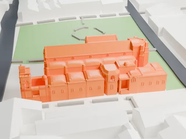
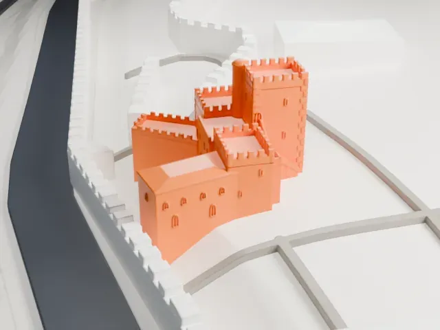 North
-
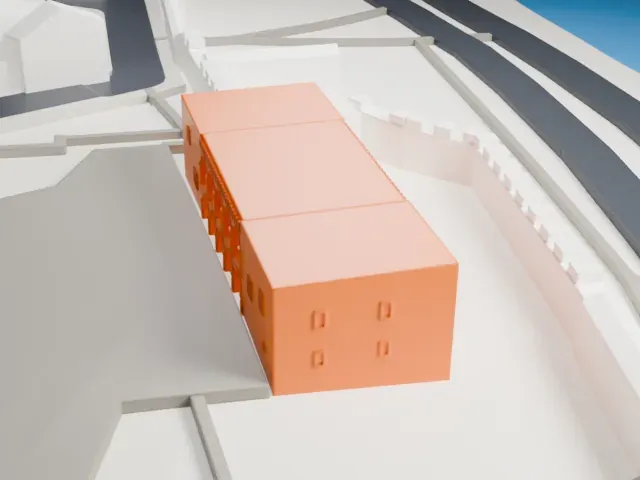
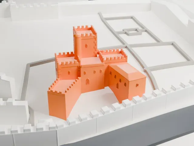 East
-
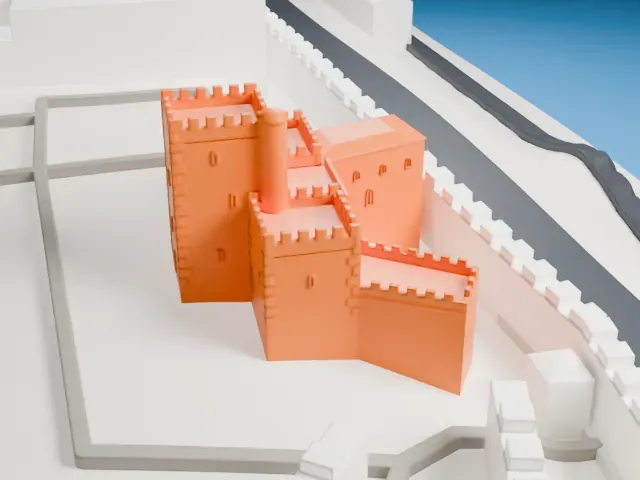 South
-
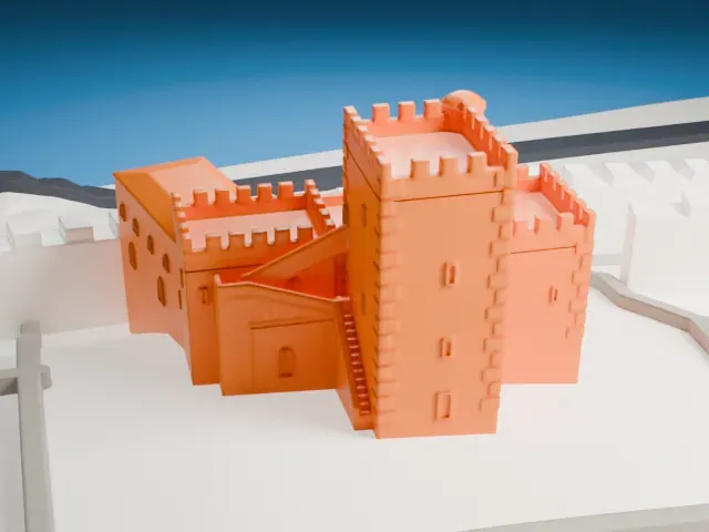 West
The model you print
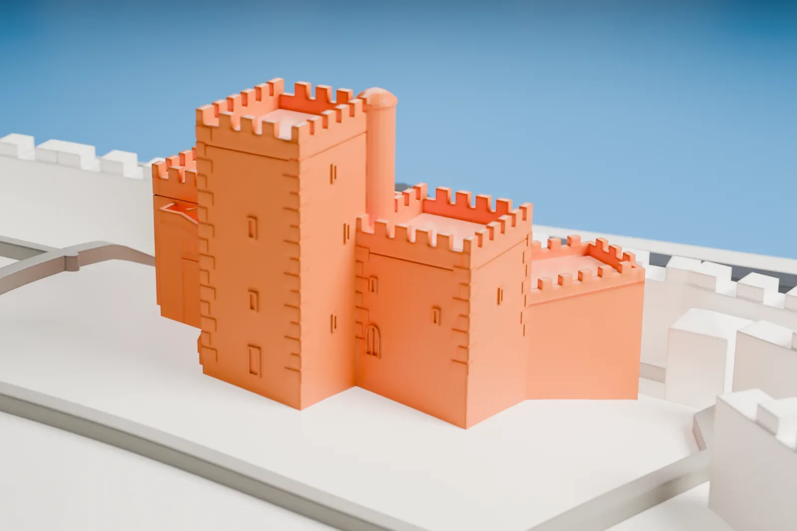
Fortaleza Ozama in 3D
The landmark on its own, at its size on a 160 mm print. Print friendly thickens thin parts for a 0.4 mm nozzle; Full detail keeps every part.
- Real height
- 18 m
- On a 160 mm print
- 7 mm
- Scale
- 1:3,750
18 m of Fortaleza Ozama, 7 mm on your shelf
Make this print opens the generator on a 600 m square around the landmark. Buildings print at close to true scale, so the landmark grows with the print size.
- Tiny battlements on every wall
Every tower and wall is topped with small crenellations. Print friendly adapts them to the print scale; Full detail keeps each notch, which suits a larger print or a fine nozzle.
- Slim round turret and stairs
A thin round turret rises beside the main tower, and a narrow stair climbs one wall. Print slowly with cooling, and use a layer height of 0.12–0.16 mm for crisp edges.
- One piece with the ground
Fortaleza Ozama is joined to the ground in the exported file, and the four-side check found no floating parts, so nothing needs gluing.
- Pick the detail for your nozzle
In the Buildings settings, set Landmark detail to Print friendly to adapt thin parts and small details to the print scale. Full detail keeps every modeled feature, for larger prints or a finer nozzle.
- Colors
Buildings, roads, water and ground arrive as separate filament slots in the 3MF. Fortaleza Ozama takes the building color.
- File format
You get a 3MF for Bambu Studio, OrcaSlicer or PrusaSlicer. Any of them can save it as STL if you need one.
About Fortaleza Ozama
Part of the Walls of Santo Domingo still stands as Fortaleza Ozama, the Ozama Fortress. UNESCO recognizes those walls as the oldest European-origin military construction in the Americas. The Spanish built the fortress between 1502 and 1508 at the entrance to the Ciudad Colonial of Santo Domingo, Dominican Republic, overlooking the Ozama River, which gives it its name.
Governor Nicolás Ovando started the work, and Spaniard Gómez Garcia de Varela was the architect. Medieval in style, the Tower of Homage rises in the center of the grounds, and the castle was meant to guard the port entrance against pirates and conquerors from England, France and the Netherlands. Coral stones taken from the sea went into the construction. At 18 meters, the tower was the highest structure built by Europeans in the Americas during the 16th century.
The central tower has walls 2-meter thick. Around the building, the defensive walls measure 3 meters in thickness, with the river side the exception at 1 meter. The pirate Sir Francis Drake seized the fortress in 1586. In 1965 it stopped being a prison and turned into a public building. In 1938 the riverside was enclosed by a tall, thin concrete wall with parapets and bartizans, made to look like a colonial fortification.
About this model
Fortaleza Ozama is one of more than 6,500 landmark models in Mini Skyline. They are made with AI, and each one is checked in its real surroundings before release. Each model is written as code from public descriptions, plans, photographs and aerial views used only as references; no image or third-party model is copied into it. Everything around it is built from OpenStreetMap and Overture map data. Rights in the building itself, its name and any brands on it are not granted by Mini Skyline; clear them separately before you sell prints. If you would rather print the shape from map data, turn off Landmark models in the Buildings settings.
Mini Skyline is not affiliated with, or endorsed by, the owners of this building or its names and marks.
Keep exploring