3D print the Menucihr Mosque
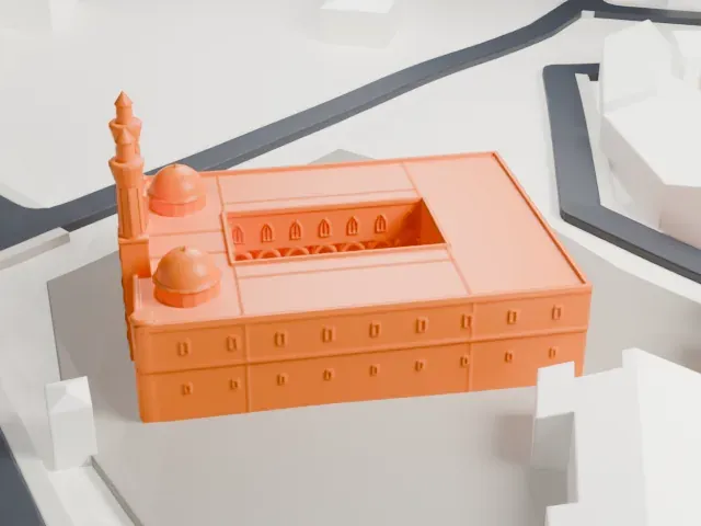
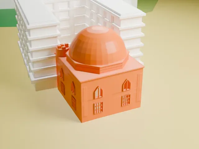
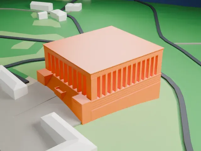
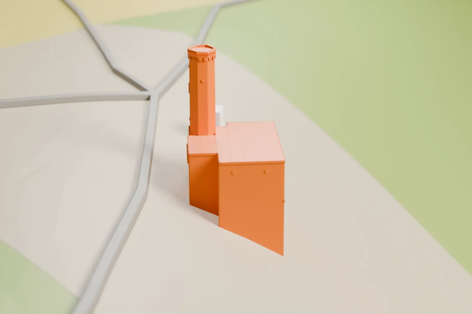
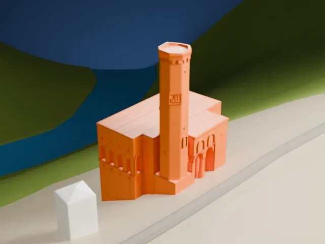
A free, printable model of the Menucihr Mosque, a small boxy building with a slender minaret, set on a hillside with roads, fields and a strip of water, generated from real map data in your browser.
-
 North
-
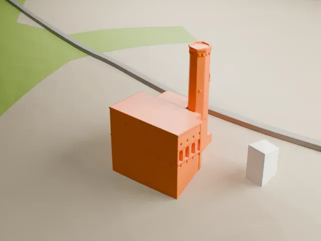 East
-
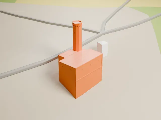 South
-
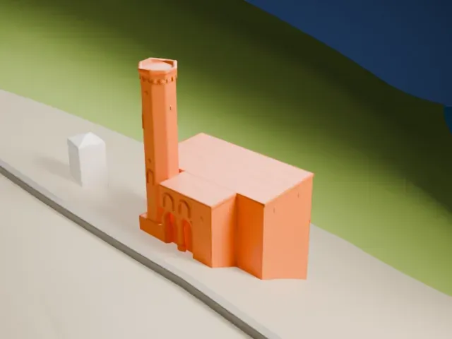 West
The model you print
Menucihr Mosque in 3D
The landmark on its own, at its size on a 160 mm print. Print friendly thickens thin parts for a 0.4 mm nozzle; Full detail keeps every part.
- On a 160 mm print
- 32 mm
- Scale
- 1:3,750
32 mm tall on a 160 mm print
Make this print opens the generator on a 600 m square around the landmark. Buildings print at close to true scale, so the landmark grows with the print size.
- Slender minaret on a small building
The minaret is thin next to the boxy main building. Print friendly adapts it to the print scale; print slowly with good cooling, and use Full detail on a larger print.
- Small building, wide terrain
The mosque is small within the wide hillside map, so a bigger print size keeps its small details. A layer height of 0.12–0.16 mm helps too.
- One piece with the ground
The Menucihr Mosque is joined to the ground in the exported file, and the four-side check found no floating parts, so nothing needs gluing.
- Pick the detail for your nozzle
In the Buildings settings, set Landmark detail to Print friendly to adapt thin parts and small details to the print scale. Full detail keeps every modeled feature, for larger prints or a finer nozzle.
- Colors
Buildings, roads, water and ground arrive as separate filament slots in the 3MF. The Menucihr Mosque takes the building color.
- File format
You get a 3MF for Bambu Studio, OrcaSlicer or PrusaSlicer. Any of them can save it as STL if you need one.
About the Menucihr Mosque
The Menucihr Mosque, also known as the Manučehr Mosque (Kurdish name: Mizgefta Menûçêhr), is found in Ani, a medieval city in Kars Province. Manuchihr ibn Shavur, a member of the Shaddadid dynasty, which was Kurdish, had it built between 1072 and 1086.
On the left facade, a long band carries a kufic inscription about the mosque’s foundation by Manuchihr ibn Shavur, in the period when the Seljuk Sultan Malik-Shah I governed. It states that he ordered the mosque and its minaret built. In the bottom left corner is a small inscription in three languages, Persian, Georgian and Armenian, which includes the dates 1237 and 1238. Over it stands a large Mongol Ilkhanid yarligh of 1319, which is a taxation edict.
The style of the vault is seen as close to that of the gavit (zhamatun) belonging to Ani’s Church of the Holy Apostles, which was built before 1217. That similarity hints at comparable dates and circumstances for the two buildings.
About this model
The Menucihr Mosque is one of more than 6,500 landmark models in Mini Skyline. They are made with AI, and each one is checked in its real surroundings before release. Each model is written as code from public descriptions, plans, photographs and aerial views used only as references; no image or third-party model is copied into it. Everything around it is built from OpenStreetMap and Overture map data. Rights in the building itself, its name and any brands on it are not granted by Mini Skyline; clear them separately before you sell prints. If you would rather print the shape from map data, turn off Landmark models in the Buildings settings.
Mini Skyline is not affiliated with, or endorsed by, the owners of this building or its names and marks.
Keep exploring