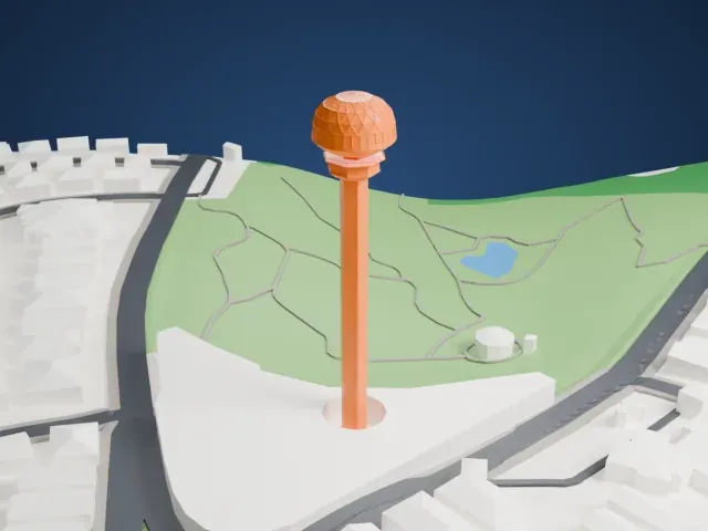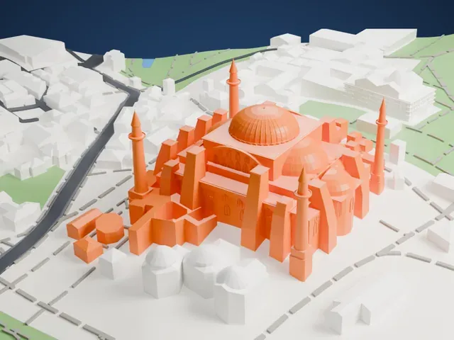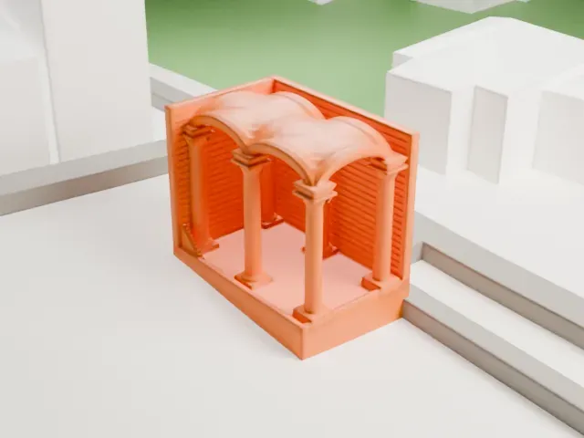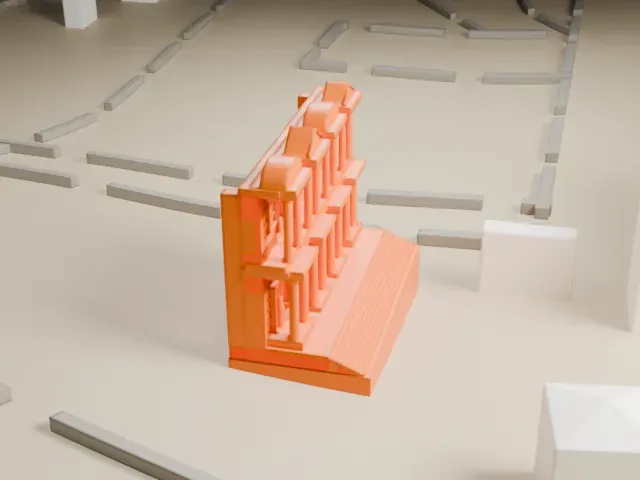
Anıtkabir in 3D
Anıtkabir appears in city models you make here; its design may still be protected, so it isn't offered as a separate download.
-
 North
-
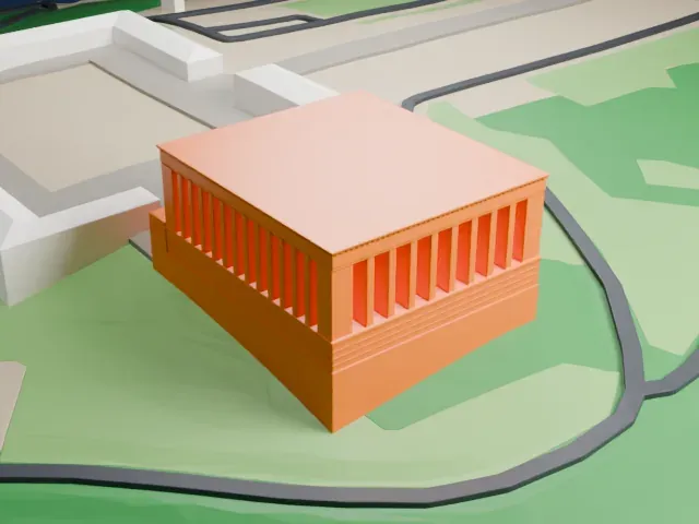 East
-
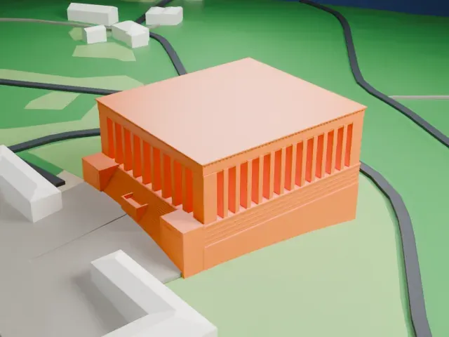 South
-
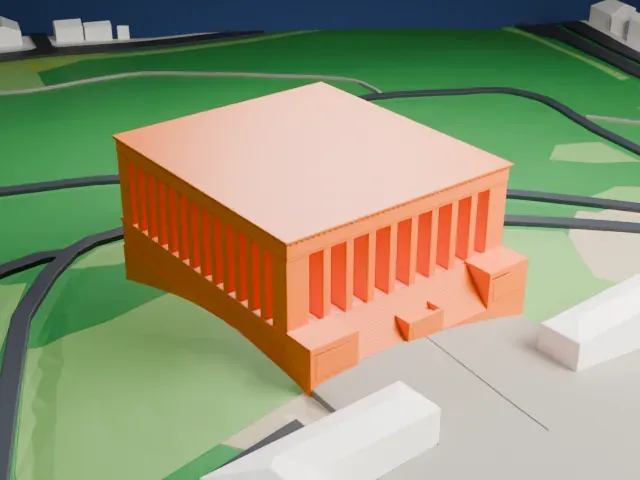 West
Copyright notice
The design of Anıtkabir may still be protected by copyright. It appears in the city models you make here, but it is not offered as a separate model.
- On a 160 mm print
- 10 mm
- Scale
- 1:3,750
10 mm tall on a 160 mm print
Make this print opens the generator on a 600 m square around the landmark. Buildings print at close to true scale, so the landmark grows with the print size.
- Rows of tall columns
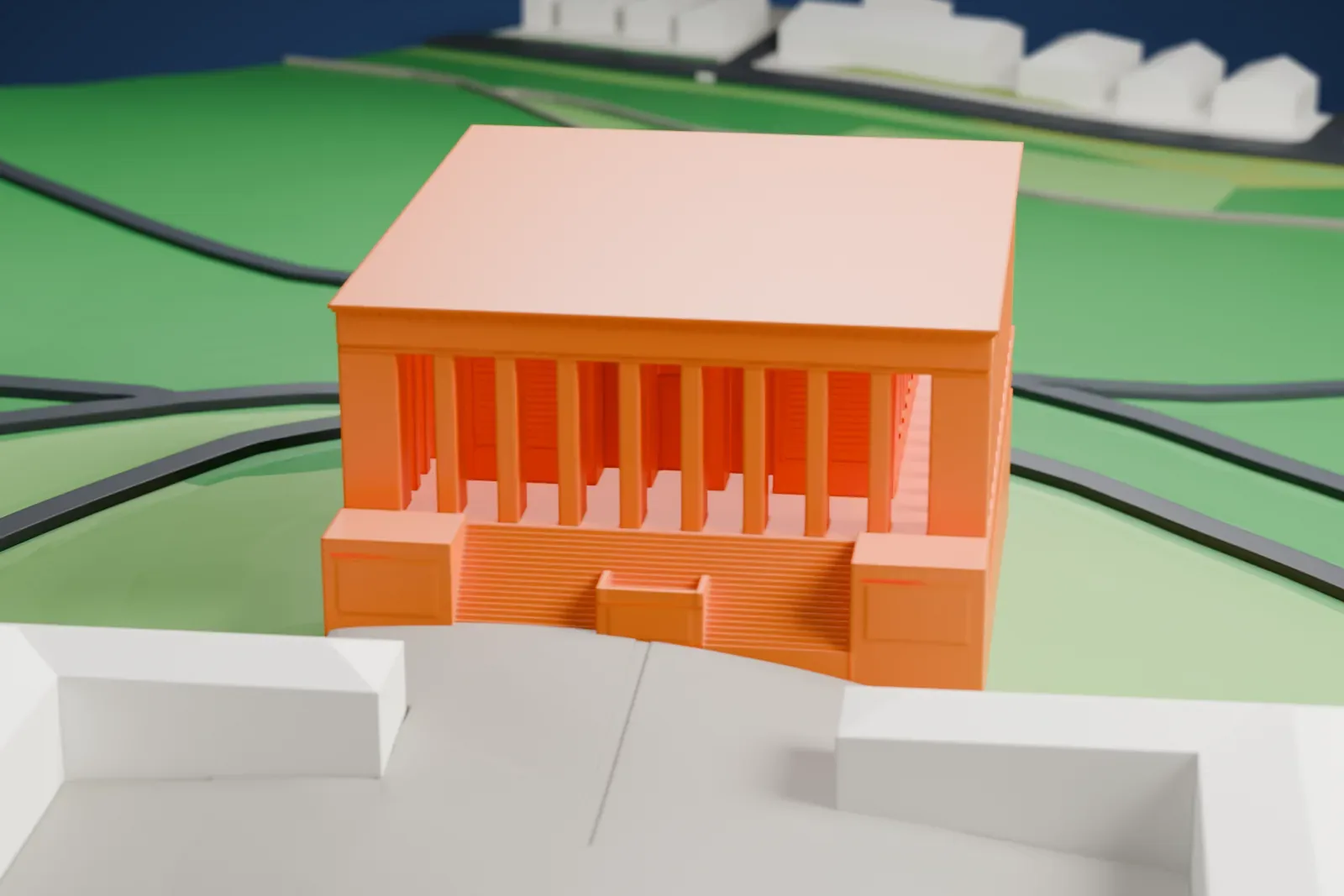
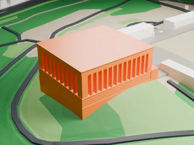
The mausoleum is wrapped in tall, closely spaced columns. Print friendly adapts these thin parts to the print scale; Full detail keeps them, best on a larger print with 0.12–0.16 mm layers.
- Wide flat roof
The broad flat roof is a large overhang above the columns. Slow printing and good cooling help it come out cleanly.
- One piece with the ground
Anıtkabir is joined to the ground in the exported file, and the four-side check found no floating parts, so nothing needs gluing.
- Pick the detail for your nozzle
In the Buildings settings, set Landmark detail to Print friendly to adapt thin parts and small details to the print scale. Full detail keeps every modeled feature, for larger prints or a finer nozzle.
- Colors
Buildings, roads, water and ground arrive as separate filament slots in the 3MF. Anıtkabir takes the building color.
- File format
You get a 3MF for Bambu Studio, OrcaSlicer or PrusaSlicer. Any of them can save it as STL if you need one.
About Anıtkabir
Anıtkabir, Turkish for "grave monument", is a complex in Ankara's Çankaya district that holds the mausoleum of Mustafa Kemal Atatürk. Emin Onat and Orhan Arda designed it, and construction ran from 1944 to 1953. Alongside the mausoleum building and other structures and monuments, the complex includes a wooded area, the Peace Park.
After Atatürk's death on November 10, 1938, his remains were to be kept in Ankara's Ethnography Museum, pending the building of a mausoleum. An international design competition began on March 1, 1941, and drew 49 projects, 25 of them from Turkey. The government chose the project by Onat and Arda, with some modifications, and a groundbreaking ceremony took place on October 9, 1944. Atatürk's remains were moved to the mausoleum on November 10, 1953.
The Hall of Honour is the principal part of the mausoleum building, holding Atatürk's symbolic sarcophagus, while his remains lie in a burial chamber on the lower level. Visitors enter along the Lion Road, which leads to a ceremonial plaza surrounded by colonnades. The complex has ten towers, a pair of statue groups and a museum. It is built of reinforced concrete faced with marble and travertine, in a neoclassical manner associated with the Second National Architectural Movement.
About this model
Anıtkabir is one of more than 6,500 landmark models in Mini Skyline. They are made with AI, and each one is checked in its real surroundings before release. Each model is written as code from public descriptions, plans, photographs and aerial views used only as references; no image or third-party model is copied into it. Everything around it is built from OpenStreetMap and Overture map data. Rights in the building itself, its name and any brands on it are not granted by Mini Skyline; clear them separately before you sell prints. If you would rather print the shape from map data, turn off Landmark models in the Buildings settings.
Mini Skyline is not affiliated with, or endorsed by, the owners of this building or its names and marks.
Keep exploring