3D print the Red Tower (Alanya)
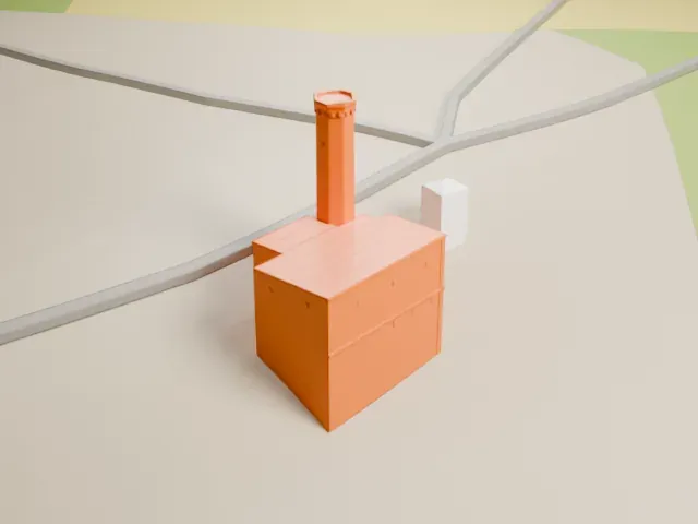
A free, printable model of the Red Tower, an octagonal battlemented tower beside the sea, with the town walls and small buildings around it, generated from real map data in your browser.
-
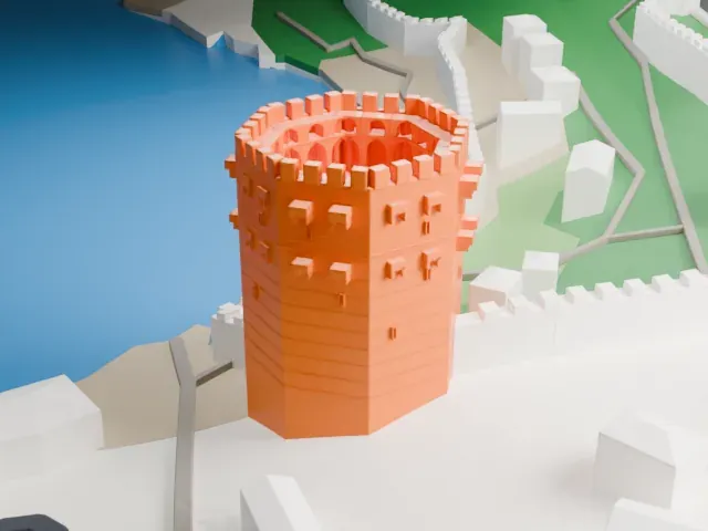 North
-
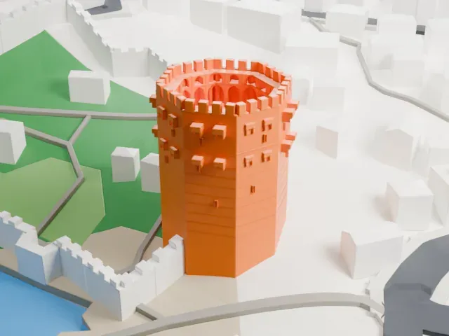 East
-
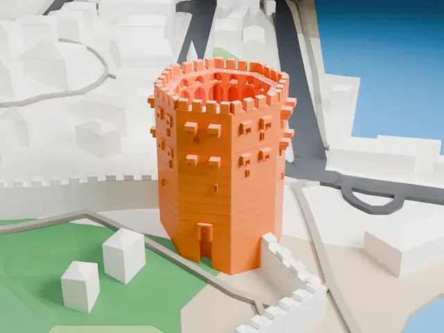 South
-
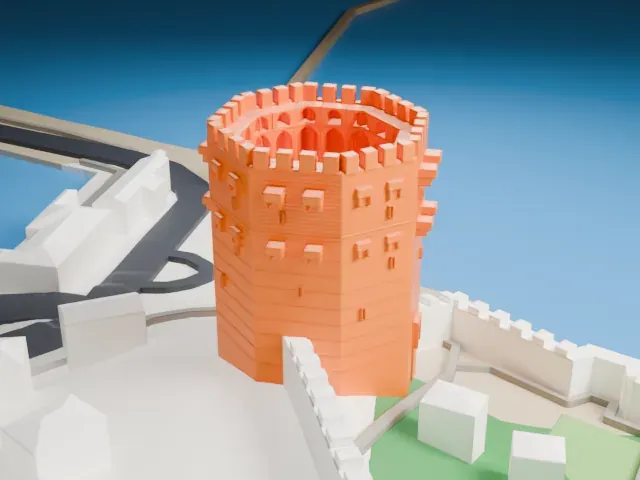 West
The model you print
Red Tower (Alanya) in 3D
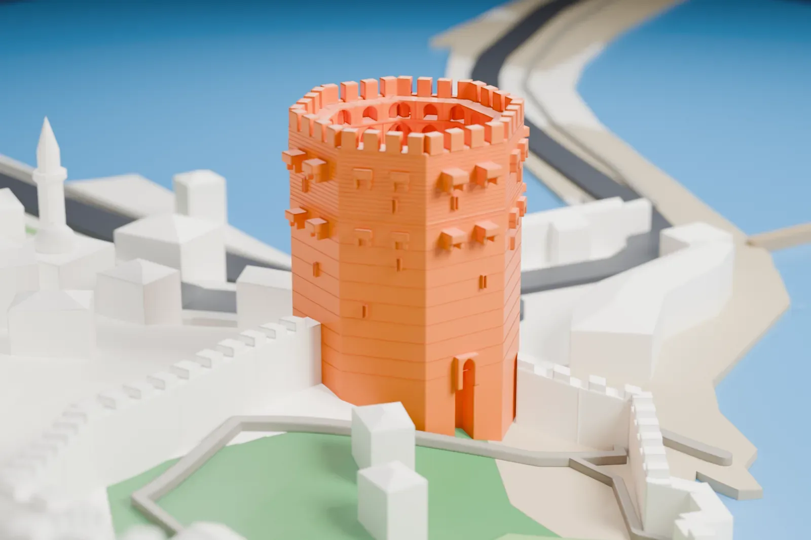
The landmark on its own, at its size on a 160 mm print. Print friendly thickens thin parts for a 0.4 mm nozzle; Full detail keeps every part.
- Real height
- 33 m
- On a 160 mm print
- 12 mm
- Scale
- 1:3,750
33 m of the Red Tower (Alanya), 12 mm on your shelf
Make this print opens the generator on a 600 m square around the landmark. Buildings print at close to true scale, so the landmark grows with the print size.
- Battlements and small brackets
Small battlement teeth and projecting brackets ring the top of the tower. Print friendly adapts them to the print scale; Full detail keeps them on a larger print.
- Fine brick coursing
Thin horizontal lines run up the faces of the tower. A layer height of 0.12–0.16 mm keeps them crisp.
- One piece with the ground
The Red Tower (Alanya) is joined to the ground in the exported file, and the four-side check found no floating parts, so nothing needs gluing.
- Pick the detail for your nozzle
In the Buildings settings, set Landmark detail to Print friendly to adapt thin parts and small details to the print scale. Full detail keeps every modeled feature, for larger prints or a finer nozzle.
- Colors
Buildings, roads, water and ground arrive as separate filament slots in the 3MF. The Red Tower (Alanya) takes the building color.
- File format
You get a 3MF for Bambu Studio, OrcaSlicer or PrusaSlicer. Any of them can save it as STL if you need one.
About the Red Tower (Alanya)
The Red Tower, called Kızıl Kule in Turkish, is a historic tower in the city of Alanya in Türkiye. It is regarded as the city's symbol and appears on its flag. The octagonal red brick tower rises 33 m (108 ft) and is 12.5 m (41 ft) wide, and it protects the Tersane (shipyard), dating from 1221. The tower takes its name from the redder color of the brick used to build it.
Work began early in the reign of Ala ad-Din Kay Qubadh I, an Anatolian Seljuq sultan, and the tower was finished in 1226. The sultan summoned an accomplished architect from Aleppo, Syria, named Ebu Ali Reha, to Alanya to see the work through. The tower is a good example of medieval military architecture and the best-preserved Seljuk building in Alanya.
The Ethnographic Museum of Alanya, opened by the city in 1979, occupies the tower. Besides the history of the tower and the town, the museum pays attention to heraldry, above all the double-headed eagle of the Seljuqs shown on the city's flag. The tower was also shown on the back of Turkish 250,000 lira banknotes between 1992 and 2005.
About this model
The Red Tower (Alanya) is one of more than 6,500 landmark models in Mini Skyline. They are made with AI, and each one is checked in its real surroundings before release. Each model is written as code from public descriptions, plans, photographs and aerial views used only as references; no image or third-party model is copied into it. Everything around it is built from OpenStreetMap and Overture map data. Rights in the building itself, its name and any brands on it are not granted by Mini Skyline; clear them separately before you sell prints. If you would rather print the shape from map data, turn off Landmark models in the Buildings settings.
Mini Skyline is not affiliated with, or endorsed by, the owners of this building or its names and marks.
Keep exploring