3D print the Reduta Theatre
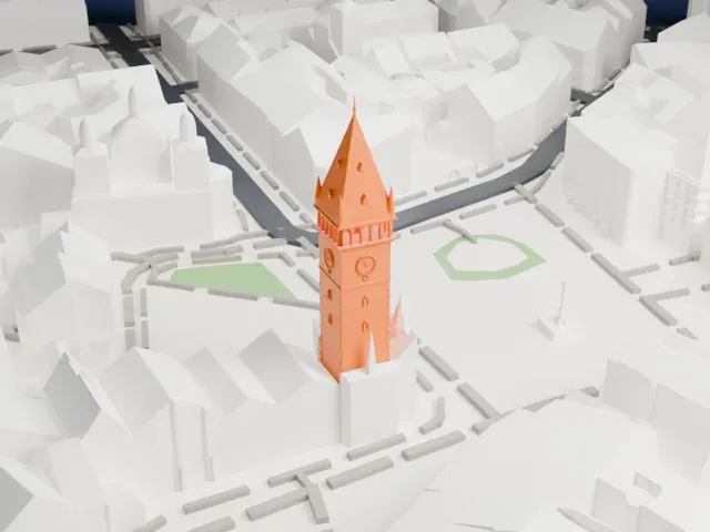
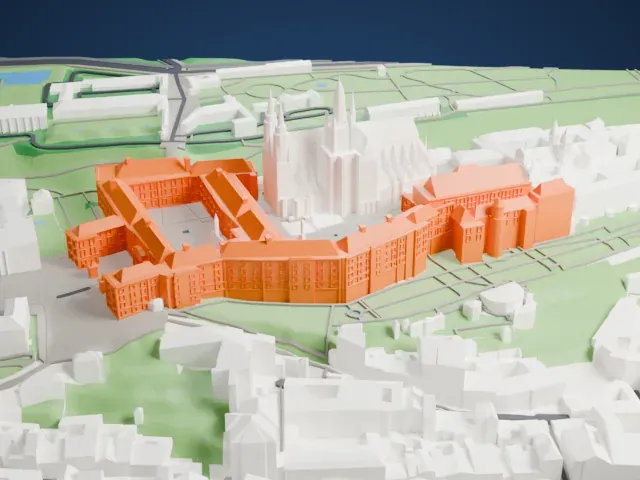
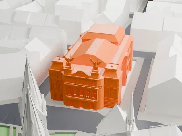
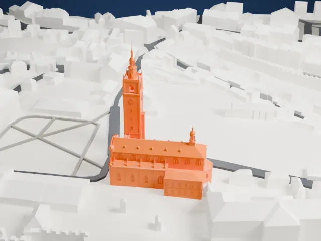
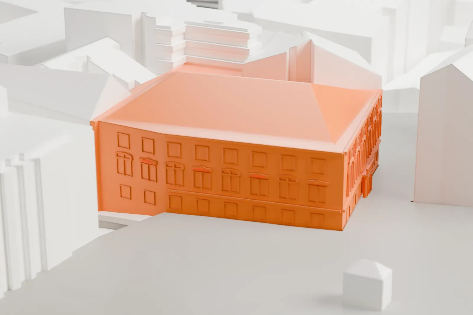
A free, printable 3D model of the Reduta Theatre, with its large hipped roof, set among the tightly packed buildings around it, generated from real map data in your browser.
-
 North
-
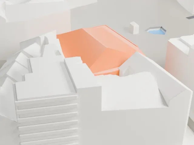 East
-
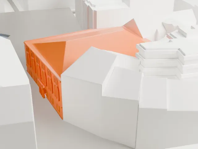 South
-
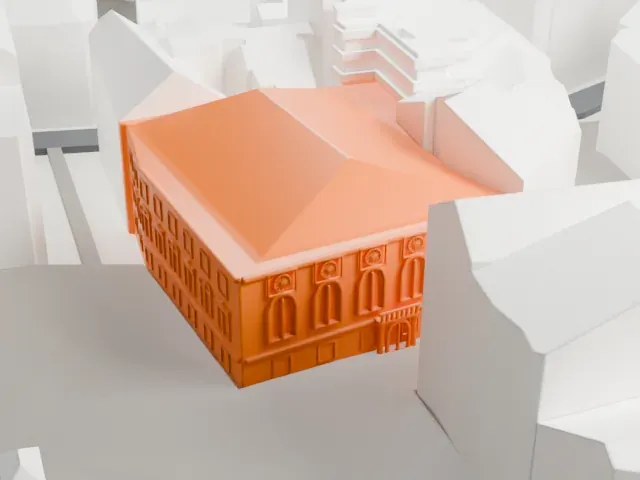 West
The model you print
Reduta Theatre in 3D
The landmark on its own, at its size on a 160 mm print. Print friendly thickens thin parts for a 0.4 mm nozzle; Full detail keeps every part.
- On a 160 mm print
- 8 mm
- Scale
- 1:3,750
8 mm tall on a 160 mm print
Make this print opens the generator on a 600 m square around the landmark. Buildings print at close to true scale, so the landmark grows with the print size.
- Mostly roof from above
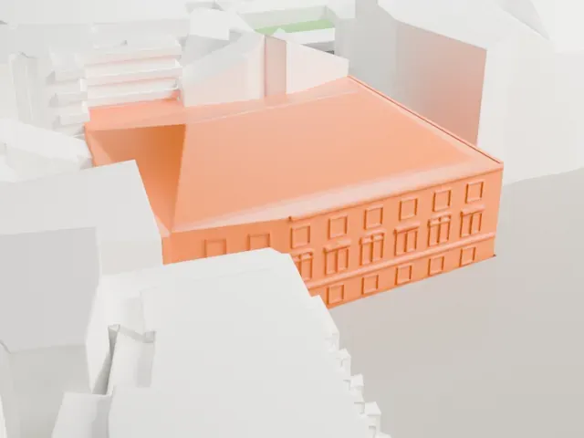
In the surrounding old buildings, the large hipped roof is the most visible part of this model, and the facade has small repeated windows. A layer height of 0.12-0.16 mm and a larger print keep those windows readable.
- One piece with the ground
The Reduta Theatre is joined to the ground in the exported file, and the four-side check found no floating parts, so nothing needs gluing.
- Pick the detail for your nozzle
In the Buildings settings, set Landmark detail to Print friendly to adapt thin parts and small details to the print scale. Full detail keeps every modeled feature, for larger prints or a finer nozzle.
- Colors
Buildings, roads, water and ground arrive as separate filament slots in the 3MF. The Reduta Theatre takes the building color.
- File format
You get a 3MF for Bambu Studio, OrcaSlicer or PrusaSlicer. Any of them can save it as STL if you need one.
About the Reduta Theatre
The Reduta Theatre stands in Brno, Czechia, on Zelný trh, the city's oldest square. It dates back to the Renaissance, when it was the Taverna (Tavern) Theatre. In 1605 the Liechtenstein house, one of a block of medieval houses bought and remodeled by the city council, was redesigned as a tavern. The building was first mentioned in 1608 and is described as the oldest theater building in Central Europe.
On December 30, 1767, the child prodigies Wolfgang Amadeus Mozart and his sister Nannerl performed in the Taverna Theatre. Fires in 1785 and 1786 led Brno's council to rebuild the theater in the neoclassical style and give it a new main hall of two stories, and it was renamed the Reduta Theatre. A last devastating fire in 1870 closed it, and it served as the city market hall until 1918, when theater activities were restored.
Plans by the architects Bohuslav and Kamil Fuchs reshaped the building in the 1950s, and until the 1990s it staged Czech operettas. A reconstruction finished in 2005 was awarded the Grand Prix of a Czech Chamber of Architects competition. The theater is a branch of the National Theatre in Brno and has no permanent ensemble; guest performers come by invitation from the Czech Republic and Slovakia.
About this model
The Reduta Theatre is one of more than 6,500 landmark models in Mini Skyline. They are made with AI, and each one is checked in its real surroundings before release. Each model is written as code from public descriptions, plans, photographs and aerial views used only as references; no image or third-party model is copied into it. Everything around it is built from OpenStreetMap and Overture map data. Rights in the building itself, its name and any brands on it are not granted by Mini Skyline; clear them separately before you sell prints. If you would rather print the shape from map data, turn off Landmark models in the Buildings settings.
Mini Skyline is not affiliated with, or endorsed by, the owners of this building or its names and marks.
Keep exploring