3D print Rollag Stave Church
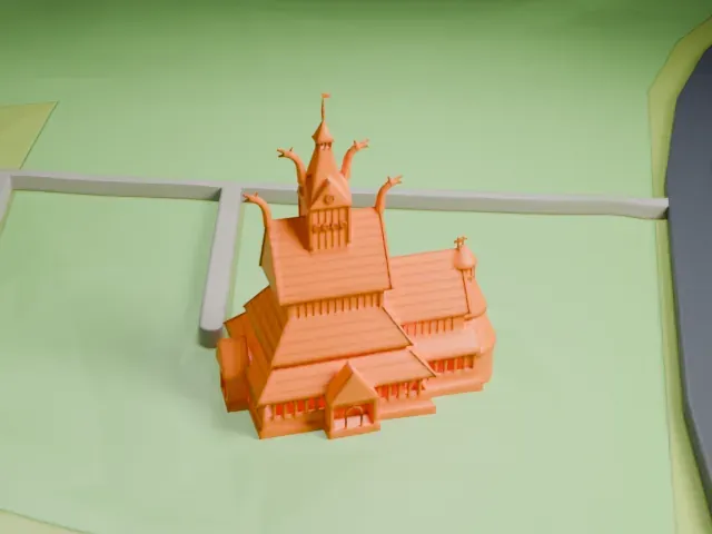
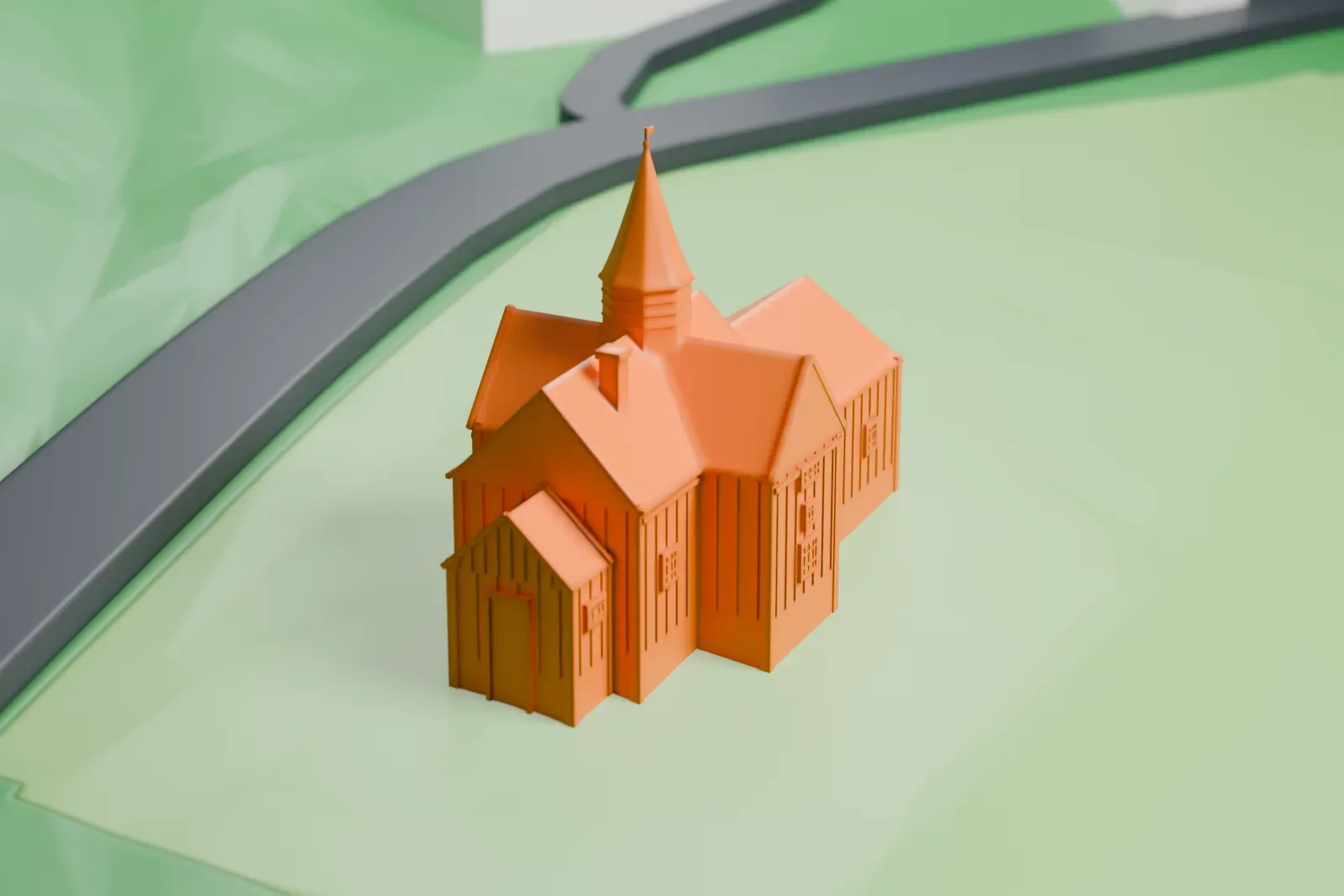
A free, printable model of Rollag Stave Church, a cross-shaped church with a central pointed spire, on a grassy hillside, generated from real map data in your browser.
-
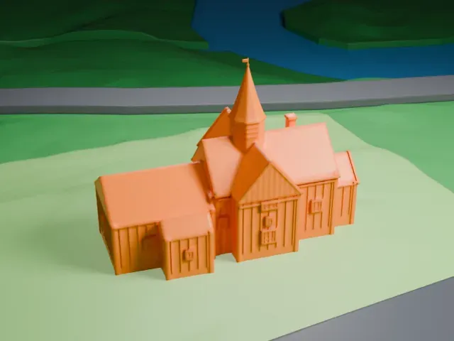 North
-
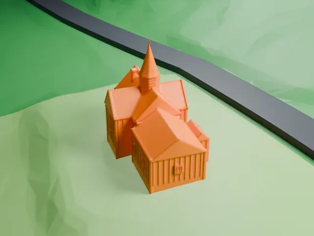 East
-
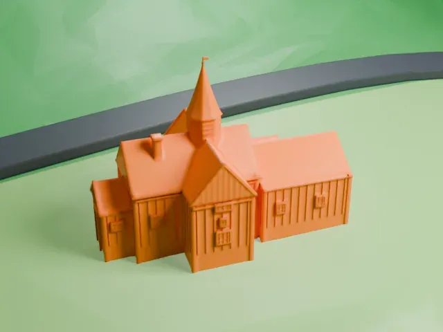 South
-
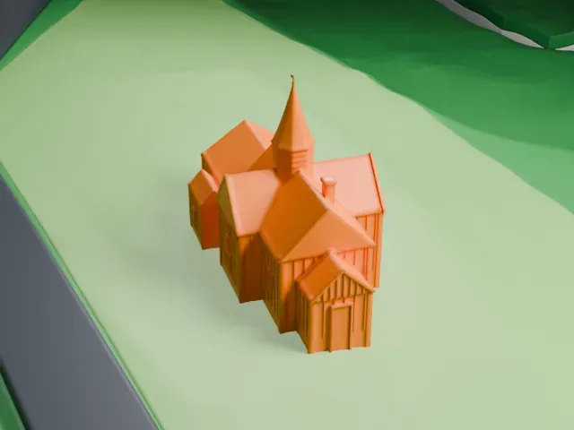 West
The model you print
Rollag Stave Church in 3D
The landmark on its own, at its size on a 160 mm print. Print friendly thickens thin parts for a 0.4 mm nozzle; Full detail keeps every part.
- On a 160 mm print
- 4 mm
- Scale
- 1:3,750
4 mm tall on a 160 mm print
Make this print opens the generator on a 600 m square around the landmark. Buildings print at close to true scale, so the landmark grows with the print size.
- Slender central spire
A small octagonal tower rises from the middle and ends in a thin spire with a tiny flag. Choose Full detail on a large print to keep the tip, and print slowly so it cools.
- Many steep roof planes
The cross-shaped plan makes several steep gables meet. Layers of 0.12-0.16 mm keep the roof edges crisp, and Print friendly adapts the thin vertical board relief on small prints.
- One piece with the ground
Rollag Stave Church is joined to the ground in the exported file, and the four-side check found no floating parts, so nothing needs gluing.
- Pick the detail for your nozzle
In the Buildings settings, set Landmark detail to Print friendly to adapt thin parts and small details to the print scale. Full detail keeps every modeled feature, for larger prints or a finer nozzle.
- Colors
Buildings, roads, water and ground arrive as separate filament slots in the 3MF. Rollag Stave Church takes the building color.
- File format
You get a 3MF for Bambu Studio, OrcaSlicer or PrusaSlicer. Any of them can save it as STL if you need one.
About Rollag Stave Church
Rollag Stave Church (Rollag stavkyrkje in Norwegian) is found in Rollag municipality, Buskerud county, Norway, some kilometers north of the middle of Rollag village. The church probably dates to the second half of the 12th century, and written records mention it from 1425. Its decoration blends styles from several periods, starting in the early Middle Ages.
Originally the church was a plain building with a rectangular nave; around 1660 it was converted to a cruciform plan. The year 1666 brought a new apse, and in 1670 the choir was swapped for a larger one. The transept dates to 1697-1698, and 1702 saw a gallery added. In 1739 the sacristy was rebuilt.
Around 1760 another lining wall went over the structure, and the church grew westward. The Baroque pulpit followed in 1763. Herman Major Schirmer, an architect and art historian, surveyed the church in 1911, when he was chairman of the Norwegian society for preserving ancient monuments, and restoration work took place in 1932.
About this model
Rollag Stave Church is one of more than 6,500 landmark models in Mini Skyline. They are made with AI, and each one is checked in its real surroundings before release. Each model is written as code from public descriptions, plans, photographs and aerial views used only as references; no image or third-party model is copied into it. Everything around it is built from OpenStreetMap and Overture map data. Rights in the building itself, its name and any brands on it are not granted by Mini Skyline; clear them separately before you sell prints. If you would rather print the shape from map data, turn off Landmark models in the Buildings settings.
Mini Skyline is not affiliated with, or endorsed by, the owners of this building or its names and marks.
Keep exploring