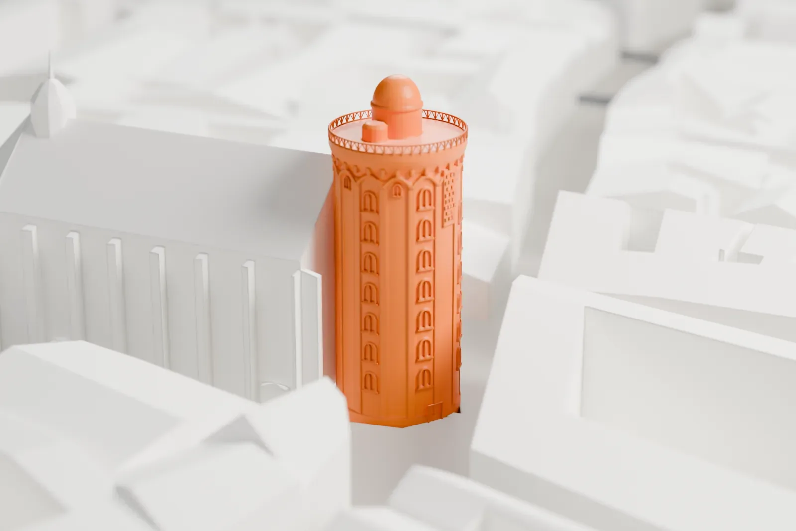
3D print Rundetaarn
A free, printable model of Rundetaarn and the streets and buildings around it in Copenhagen, generated from real map data in your browser.
-
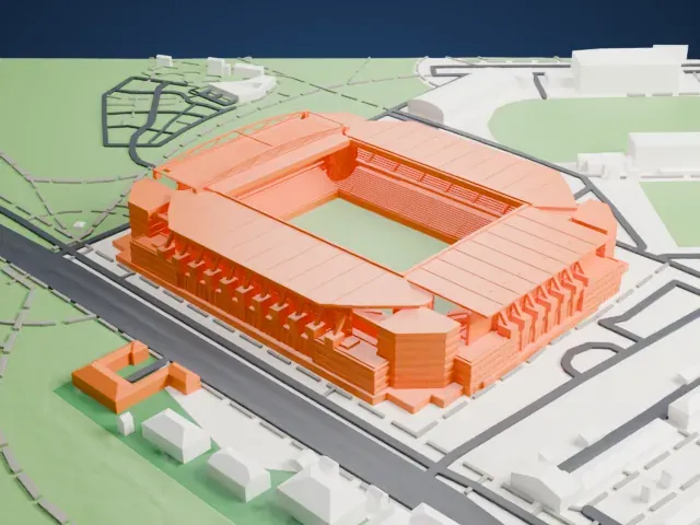
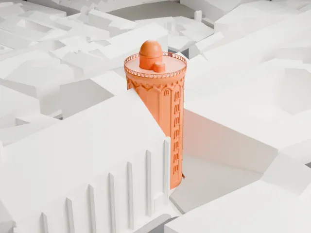 North
-
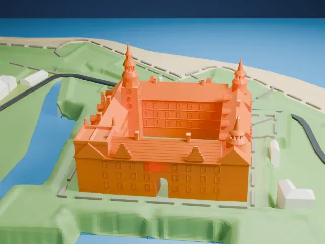
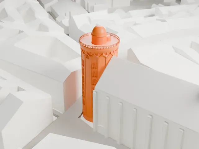 East
-
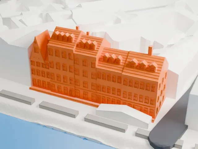
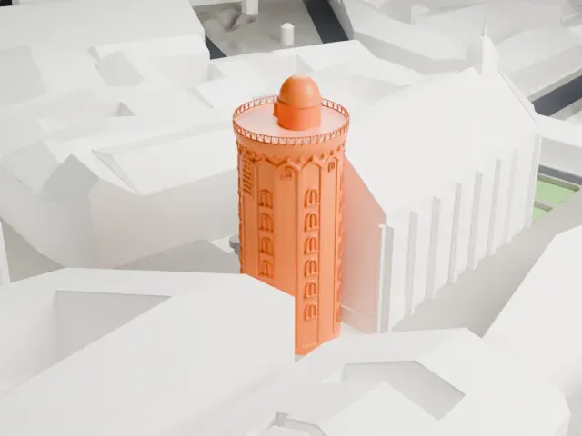 South
-
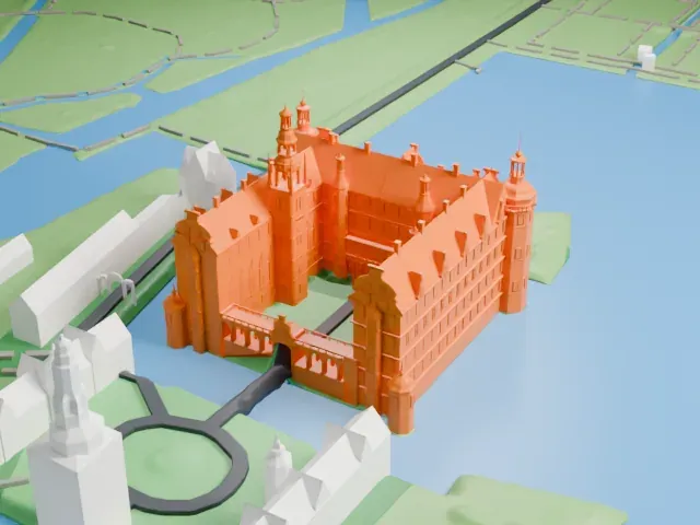
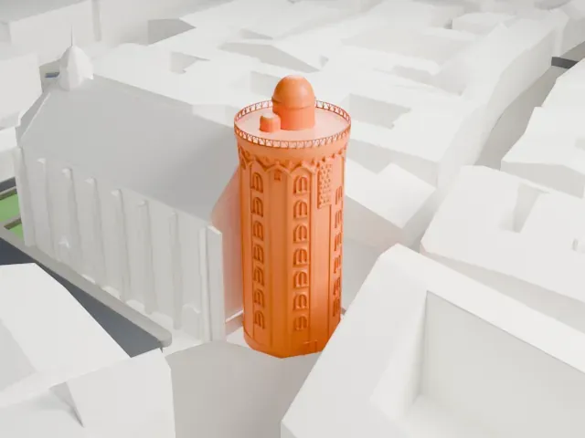 West
- On a 160 mm print
- 11 mm
- Scale
- 1:3,750
11 mm tall on a 160 mm print
Make this print opens the generator on a 600 m square around the landmark. Buildings print at close to true scale, so the landmark grows with the print size.
- A plain round shaft
The tower is a cylinder, so its walls print evenly from every side. The platform and the small observatory on top are modest next to the shaft; a larger print at Full detail reads best there.
- Small parts at the top
The platform edge and the small observatory above it are the finest parts of the model. Layers of 0.12 to 0.16 mm keep them from merging, and Print friendly adapts them if you print small.
- One piece with the ground
Rundetaarn is joined to the ground in the exported file, and the four-side check found no floating parts, so nothing needs gluing.
- Pick the detail for your nozzle
In the Buildings settings, set Landmark detail to Print friendly to adapt thin parts and small details to the print scale. Full detail keeps every modeled feature, for larger prints or a finer nozzle.
- Colors
Buildings, roads, water and ground arrive as separate filament slots in the 3MF. Rundetaarn takes the building color.
- File format
You get a 3MF for Bambu Studio, OrcaSlicer or PrusaSlicer. Any of them can save it as STL if you need one.
About Rundetaarn
Rundetaarn, or the Round Tower, stands in Copenhagen, Denmark, and dates from the 17th century; it was one of the many building projects of Christian IV. It went up as an astronomical observatory, and it is known for its equestrian staircase, a helical corridor of 7.5 turns that ends at a platform 34.8 meters above ground. The tower belongs to the Trinitatis Complex, with the Trinitatis Church alongside it and an academic library.
Astronomy mattered more and more in 17th-century Europe: countries were competing for colonies and needed to navigate the oceans accurately. In 1625 Christian Longomontanus, the king's astronomer, proposed a tower to replace Tycho Brahe's demolished Stjerneborg. Plans for a students' church and a university library were folded into the same scheme. The foundation stone went down on July 7, 1637, and the tower was finished in 1642, while the church and the library took until 1657.
The shaft is masonry, laid in alternating yellow and red bricks, the colors of the Oldenburgs, and the bricks came from the Netherlands. Rather than stairs, a ramp turns 7.5 times around a hollow core, a design chosen so that a horse and carriage could bring books to the library and heavy instruments up to the observatory. Its corridor runs 210 m. In 1716 Peter the Great rode up on horseback, and the university gave up the tower for astronomy when a new observatory opened in 1861.
About this model
Rundetaarn is one of more than 4,400 landmark models in Mini Skyline. They are made with AI, and each one is checked from four sides in its real surroundings before release. Everything around it is built from OpenStreetMap and Overture map data. If you would rather print the shape from map data, turn off Landmark models in the Buildings settings.
Keep exploring