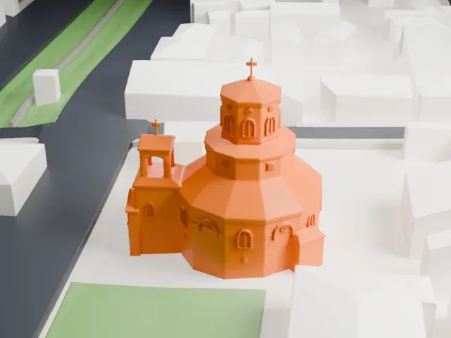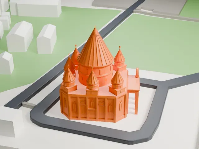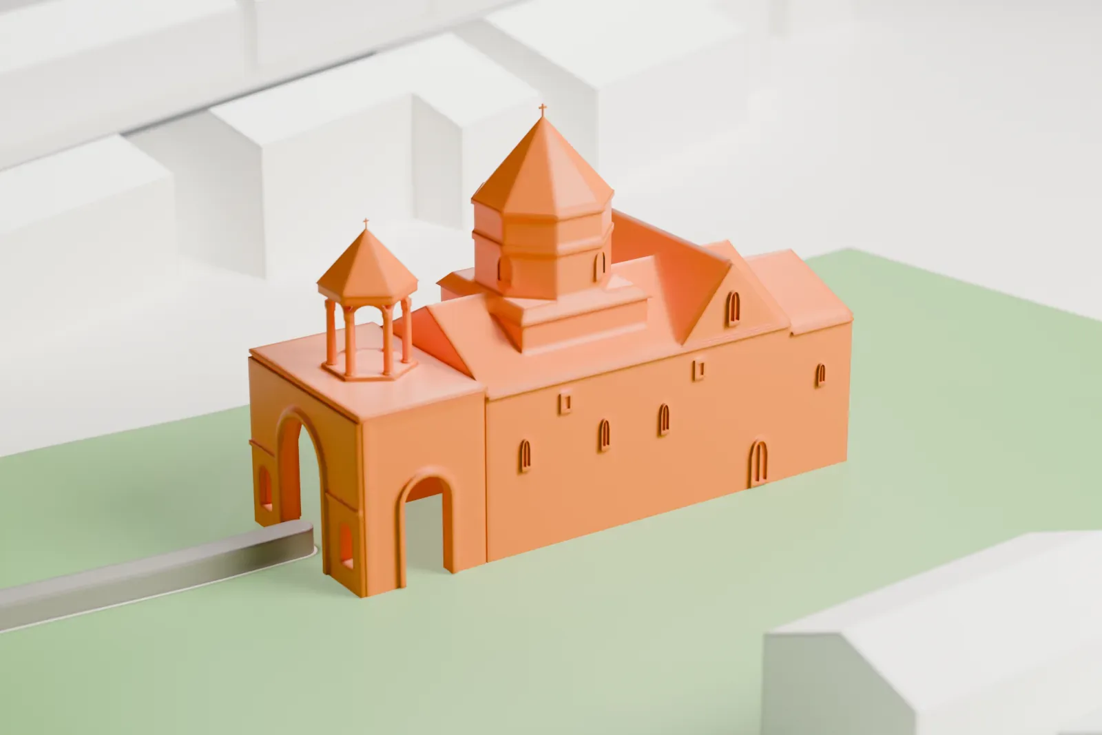
3D print Shoghakat Church
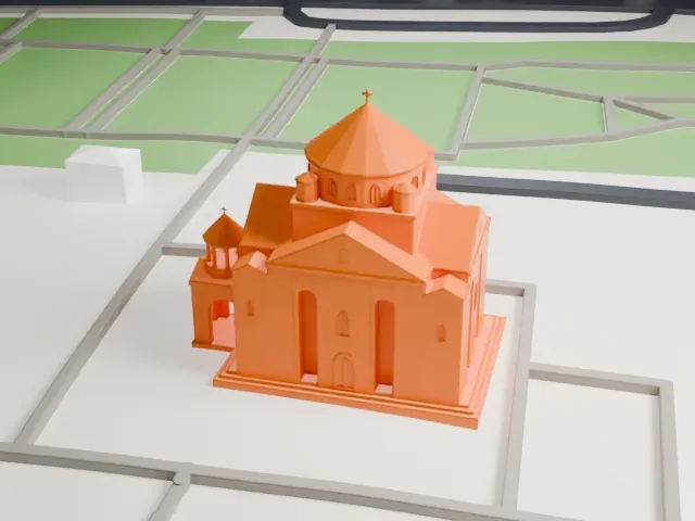
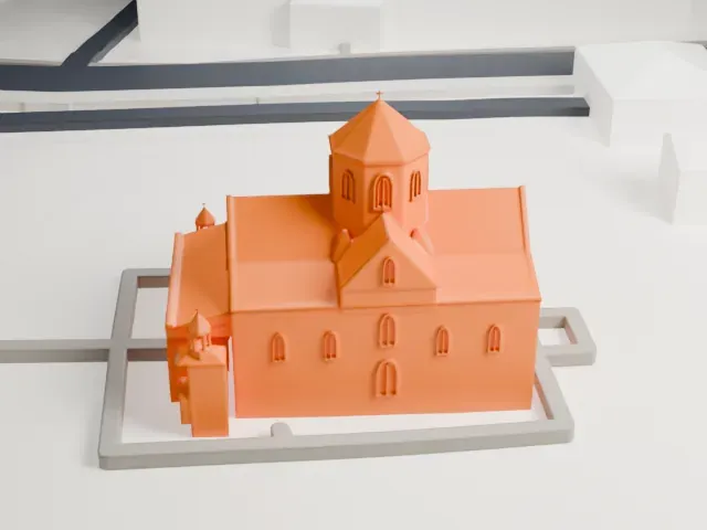
A free, printable model of Shoghakat Church, a small domed church with a gabled front and a little belfry, standing in a green yard among houses and streets, generated from real map data in your browser.
-
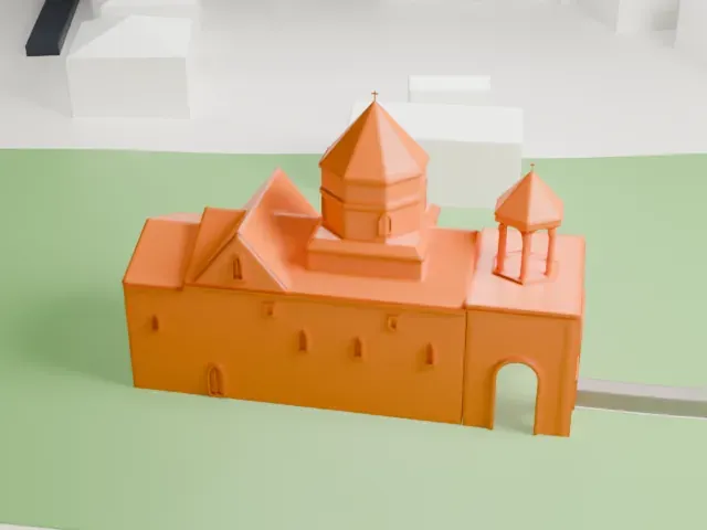 North
-
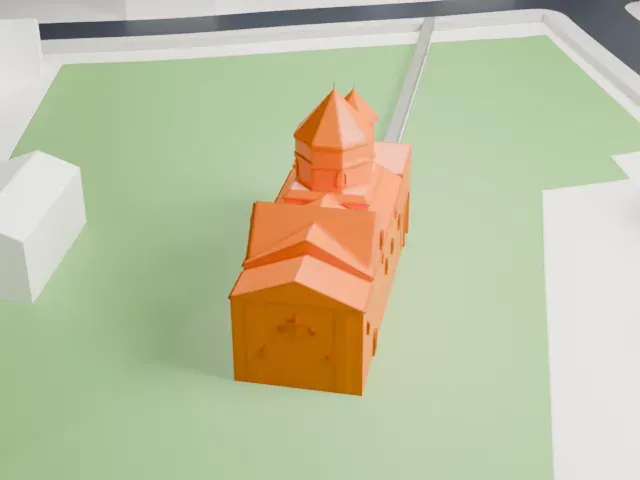 East
-
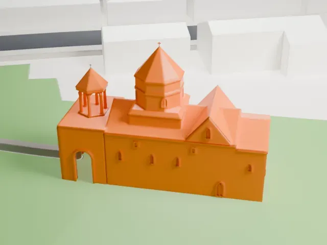 South
-
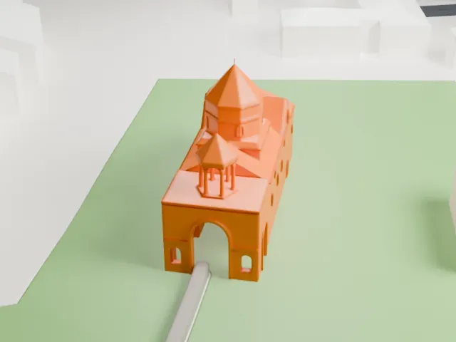 West
The model you print
Shoghakat Church in 3D
The landmark on its own, at its size on a 160 mm print. Print friendly thickens thin parts for a 0.4 mm nozzle; Full detail keeps every part.
- On a 160 mm print
- 5 mm
- Scale
- 1:3,750
5 mm tall on a 160 mm print
Make this print opens the generator on a 600 m square around the landmark. Buildings print at close to true scale, so the landmark grows with the print size.
- Very small model
The church is small among the surrounding houses, so its dome and gabled front are tiny at a modest print size. A bigger print and Full detail keep more of the small features.
- Belfry and conical dome
The little belfry and the conical dome both end in fine points. Print slowly with good cooling, and a layer height of 0.12–0.16 mm keeps the points crisp.
- One piece with the ground
Shoghakat Church is joined to the ground in the exported file, and the four-side check found no floating parts, so nothing needs gluing.
- Pick the detail for your nozzle
In the Buildings settings, set Landmark detail to Print friendly to adapt thin parts and small details to the print scale. Full detail keeps every modeled feature, for larger prints or a finer nozzle.
- Colors
Buildings, roads, water and ground arrive as separate filament slots in the 3MF. Shoghakat Church takes the building color.
- File format
You get a 3MF for Bambu Studio, OrcaSlicer or PrusaSlicer. Any of them can save it as STL if you need one.
About Shoghakat Church
Shoghakat Church stands in the city of Vagharshapat, also called Etchmiadzin, in Armenia's Armavir Province. Prince Aghamal Sorotetsi erected it in 1694, in the reign of Catholicos Nahabed I. Its name means "drop of light" and refers to a ray of light that is said to have appeared when a group of nuns was martyred on the spot.
The church is a basilica with a single nave and a dome. At its east end is a semi-circular apse with a narrow chapel on each side. Four pendentives lead up from the square central bay to an octagonal drum and a conical dome, which sit off-center toward the west. Very little ornament decorates the main body, apart from a geometric band around the middle of the drum and a few khachkars set into its upper walls.
A vaulted open gallery, built at the same time as the church, forms the western end. One large arched opening leads into it, and the frames around its openings carry geometric patterns, rosettes and khachkars. Above the gallery, a cupola on six columns serves as the belfry. Before it, a church from the 6th or 7th century stood on the site, but it has not survived.
About this model
Shoghakat Church is one of more than 6,500 landmark models in Mini Skyline. They are made with AI, and each one is checked in its real surroundings before release. Each model is written as code from public descriptions, plans, photographs and aerial views used only as references; no image or third-party model is copied into it. Everything around it is built from OpenStreetMap and Overture map data. Rights in the building itself, its name and any brands on it are not granted by Mini Skyline; clear them separately before you sell prints. If you would rather print the shape from map data, turn off Landmark models in the Buildings settings.
Mini Skyline is not affiliated with, or endorsed by, the owners of this building or its names and marks.
Keep exploring