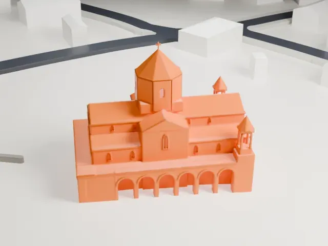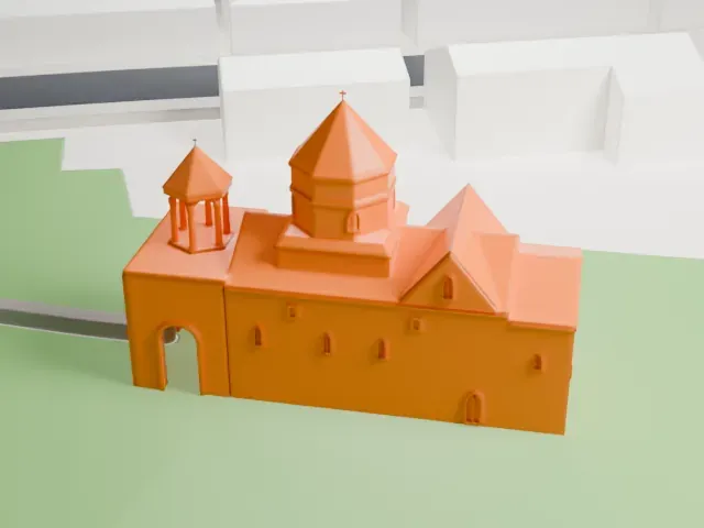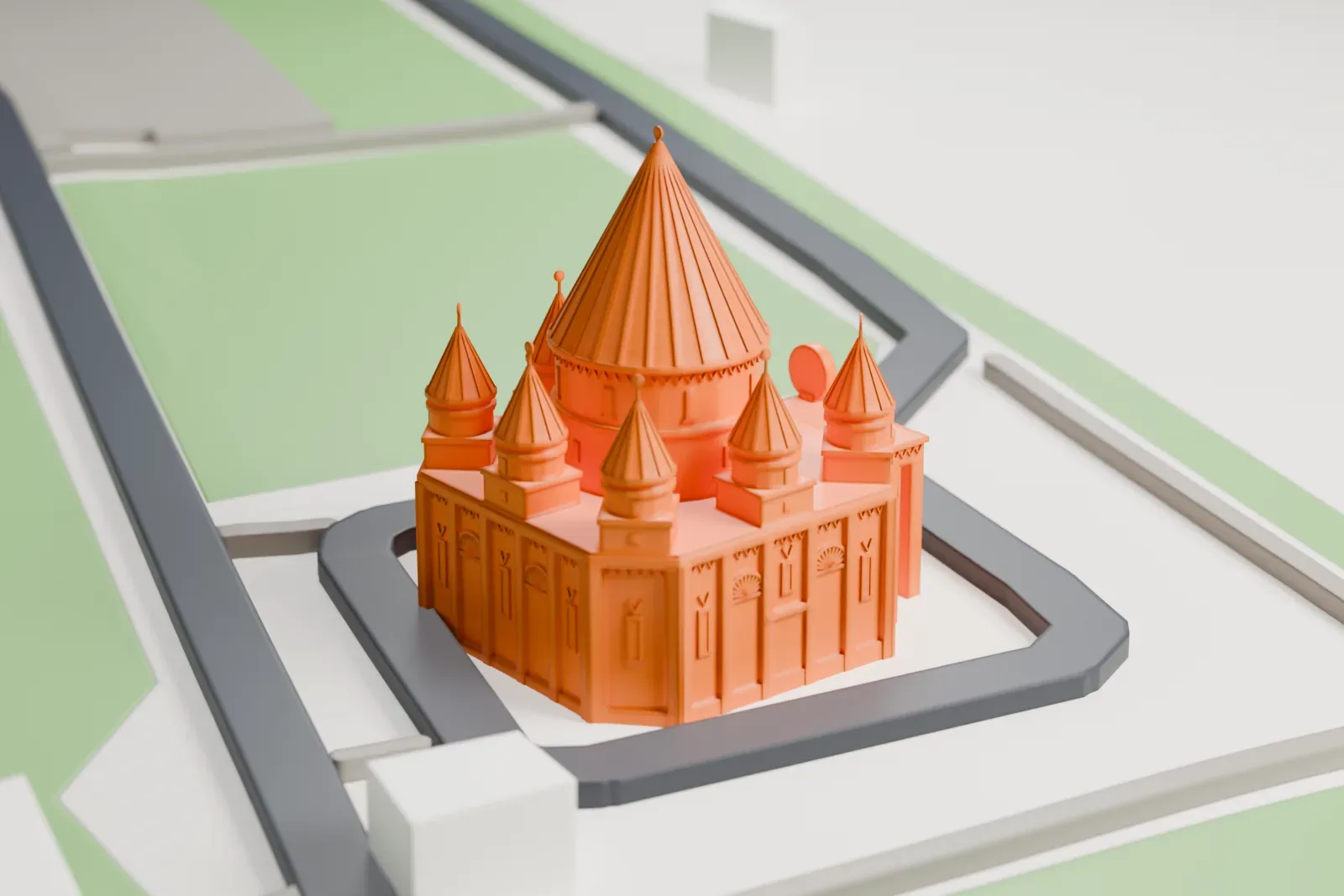
Quba Mêrê Dîwanê in 3D
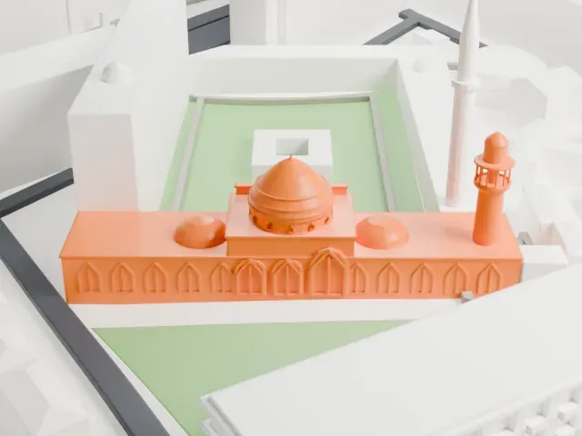
Quba Mêrê Dîwanê appears in city models you make here; its design may still be protected, so it isn't offered as a separate download.
-
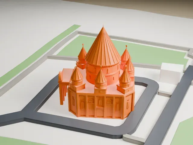 North
-
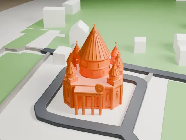 East
-
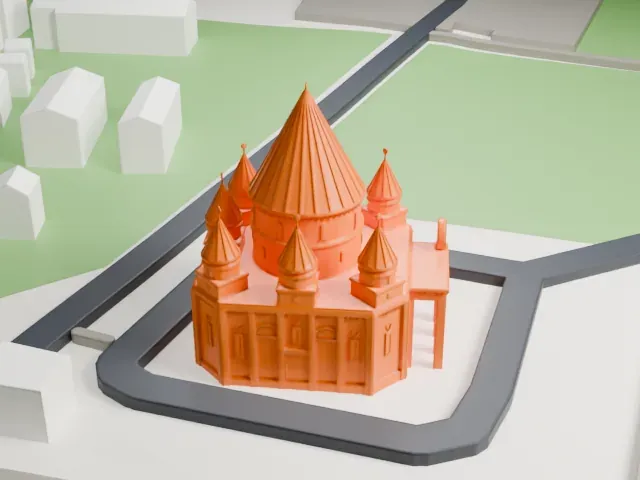 South
-
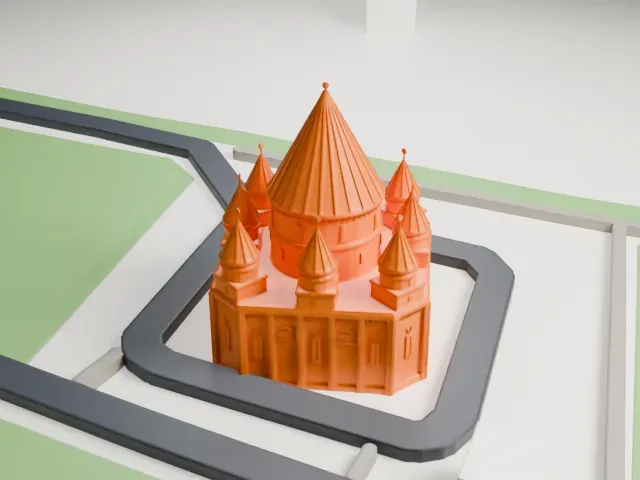 West
Copyright notice
The design of Quba Mêrê Dîwanê may still be protected by copyright. It appears in the city models you make here, but it is not offered as a separate model.
- Real height
- 25 m
- On a 160 mm print
- 7 mm
- Scale
- 1:3,750
25 m of Quba Mêrê Dîwanê, 7 mm on your shelf
Make this print opens the generator on a 600 m square around the landmark. Buildings print at close to true scale, so the landmark grows with the print size.
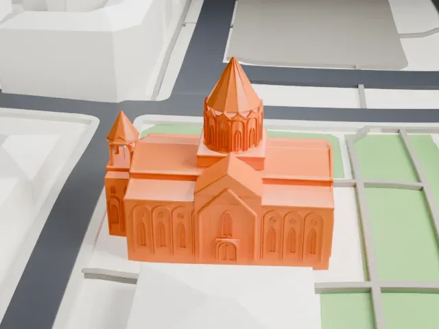
- Slender cone roofs
The tall central cone and the smaller cones around it end in thin tips. Print friendly adapts these; for Full detail, print larger and slowly, with a 0.12–0.16 mm layer height.
- Carved wall panels
The octagonal walls carry shallow arches and panels that are fine at print scale. A bigger print size keeps them crisp.
- One piece with the ground
Quba Mêrê Dîwanê is joined to the ground in the exported file, and the four-side check found no floating parts, so nothing needs gluing.
- Pick the detail for your nozzle
In the Buildings settings, set Landmark detail to Print friendly to adapt thin parts and small details to the print scale. Full detail keeps every modeled feature, for larger prints or a finer nozzle.
- Colors
Buildings, roads, water and ground arrive as separate filament slots in the 3MF. Quba Mêrê Dîwanê takes the building color.
- File format
You get a 3MF for Bambu Studio, OrcaSlicer or PrusaSlicer. Any of them can save it as STL if you need one.
About Quba Mêrê Dîwanê
Quba Mêrê Dîwanê is billed as the largest Yazidi temple anywhere. It rises in Aknalich, an Armenian village in Armavir province with a large Yezidi population, about 35 kilometers west of Yerevan, Armenia's capital. The name roughly translates as 'All Will Come Together'. The temple opened in September 2019, and Armenian officials, including the Deputy Prime Minister, attended the opening ceremony.
The building is made of Armenian granite and Iranian marble. It is 25 meters high, with seven domes around a central, arched roof, and it houses a seminary and a museum. Its dedication honors Melek Taus, an angel, and the Seven Angels from Yazidi theology, and golden suns adorn the domes. The design takes strong inspiration from Lalish, the Yazidis' holiest temple, in northern Iraq.
The architect was Artak Ghulyan, among the most prolific designers of religious buildings in Armenia. Mirza Sloyan, an Armenian Yazidi who lives in Russia, paid for it. It was built just a few meters from Ziarat, the first Yazidi temple in Armenia, which dates from 2012. A Yazidi cemetery adjoins the temple, which gives the community a place for weddings and other ceremonies led by Sheikhs or Pirs.
About this model
Quba Mêrê Dîwanê is one of more than 6,500 landmark models in Mini Skyline. They are made with AI, and each one is checked in its real surroundings before release. Each model is written as code from public descriptions, plans, photographs and aerial views used only as references; no image or third-party model is copied into it. Everything around it is built from OpenStreetMap and Overture map data. Rights in the building itself, its name and any brands on it are not granted by Mini Skyline; clear them separately before you sell prints. If you would rather print the shape from map data, turn off Landmark models in the Buildings settings.
Mini Skyline is not affiliated with, or endorsed by, the owners of this building or its names and marks.
Keep exploring