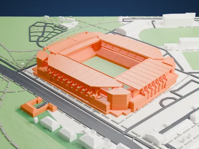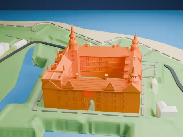
3D print Sorgenfri Palace
A free, printable model of Sorgenfri Palace and the parkland and paths around it, generated from real map data in your browser.
-
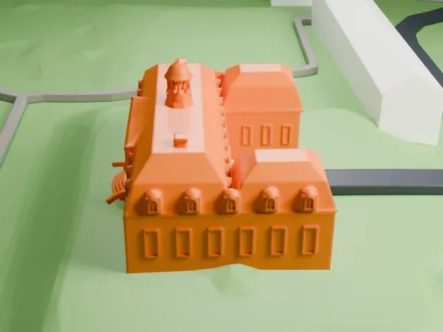 North
-
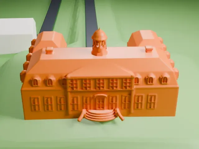 East
-
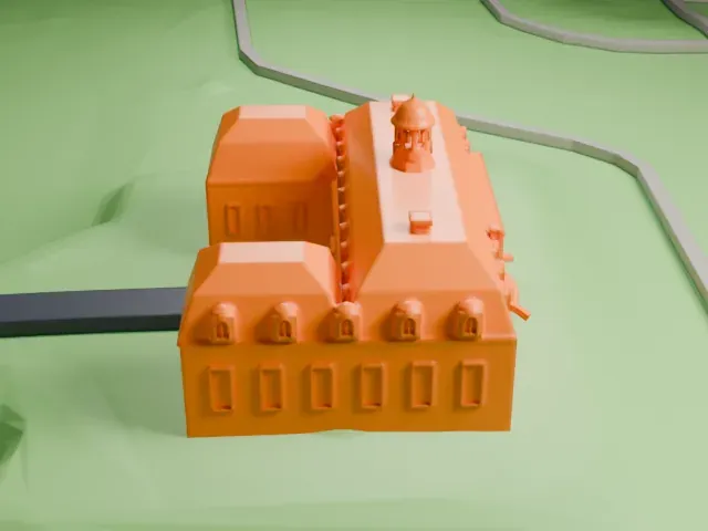 South
-
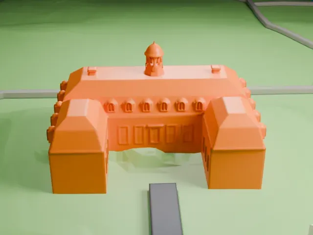 West
The model you print
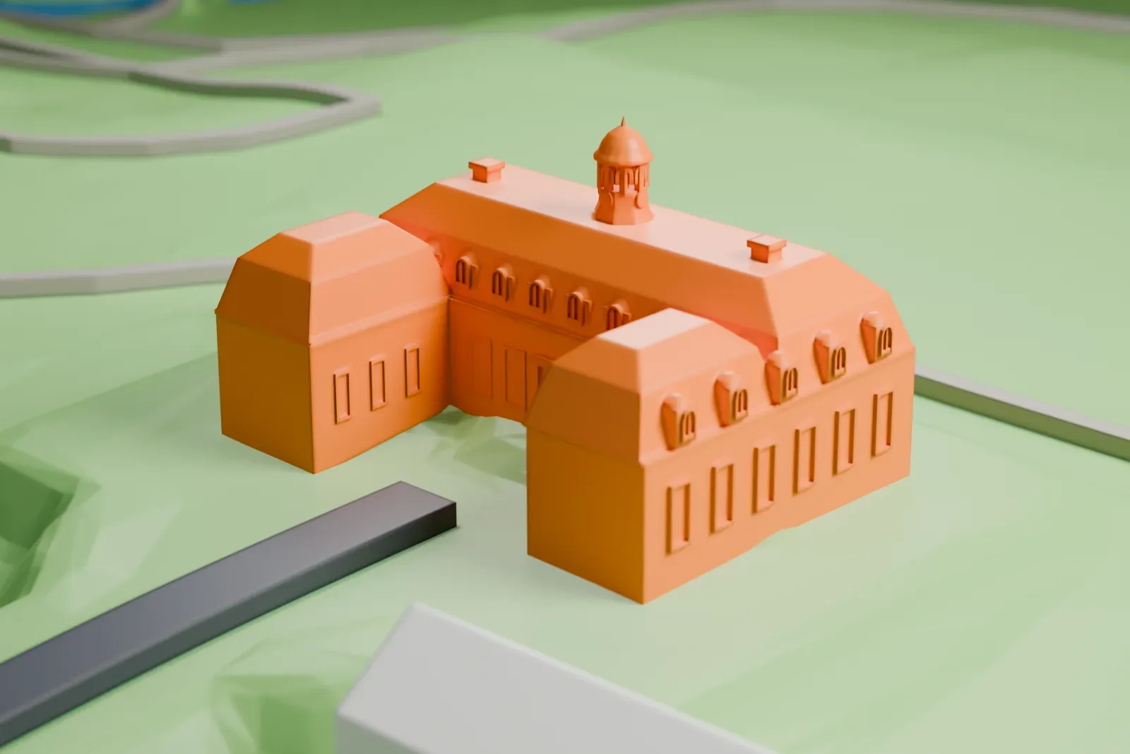
Sorgenfri Palace in 3D
The landmark on its own, at its size on a 160 mm print. Print friendly thickens thin parts for a 0.4 mm nozzle; Full detail keeps every part.
- On a 160 mm print
- 4 mm
- Scale
- 1:3,750
4 mm tall on a 160 mm print
Make this print opens the generator on a 600 m square around the landmark. Buildings print at close to true scale, so the landmark grows with the print size.
- Cupola and small roof domes
The central cupola and the small domed windows along the roofline are tiny at print scale. Print friendly adapts them; for Full detail, print larger and use a 0.12–0.16 mm layer height.
- Curved steps and wings
The curved steps beside the building and the projecting side wings carry small details. A bigger print size keeps them crisp.
- One piece with the ground
Sorgenfri Palace is joined to the ground in the exported file, and the four-side check found no floating parts, so nothing needs gluing.
- Pick the detail for your nozzle
In the Buildings settings, set Landmark detail to Print friendly to adapt thin parts and small details to the print scale. Full detail keeps every modeled feature, for larger prints or a finer nozzle.
- Colors
Buildings, roads, water and ground arrive as separate filament slots in the 3MF. Sorgenfri Palace takes the building color.
- File format
You get a 3MF for Bambu Studio, OrcaSlicer or PrusaSlicer. Any of them can save it as STL if you need one.
About Sorgenfri Palace
Sorgenfri Palace serves as a royal residence for the Danish monarch. It is in the northern suburbs of Copenhagen, within Lyngby-Taarbæk Municipality, along the eastern side of Lyngby Kongevej. The name means "Sorrow free", which echoes Sans Souci, and the neighborhood around the palace took its name from it.
Dieussart designed the first house here, finished in 1705; just its cellar and foundations remain. Lauritz de Thurah put up the present house in 1756 and also designed the buildings flanking the driveway nearer the road. In the 1790s Peter Meyn adapted and extended it. The palace is Neoclassical, and a cupola on the roof dates from the 1791 to 1794 renovation.
Around the palace lies a 40 hectares (99 acres) garden, originally laid out in the Baroque manner in 1706. Prince Frederick had it recast as an English landscape garden between 1791 and 1794, though the row of lime trees before the palace still echoes the Baroque plan. The Mølleåen river flows through the park on its east side. Nicolai Abildgaard was responsible for two garden pavilions, one called the Swiss House and the other the Norwegian House, and visitors can walk in the park freely.
About this model
Sorgenfri Palace is one of more than 6,500 landmark models in Mini Skyline. They are made with AI, and each one is checked in its real surroundings before release. Each model is written as code from public descriptions, plans, photographs and aerial views used only as references; no image or third-party model is copied into it. Everything around it is built from OpenStreetMap and Overture map data. Rights in the building itself, its name and any brands on it are not granted by Mini Skyline; clear them separately before you sell prints. If you would rather print the shape from map data, turn off Landmark models in the Buildings settings.
Mini Skyline is not affiliated with, or endorsed by, the owners of this building or its names and marks.
Keep exploring